Since our first trip back to Antelope Island as Utah residents, we’ve talked about hiking to Frary Peak, the island’s highest point. But there were a few caveats: clear day, snowy peaks, and no gnats. Saturday, 11/18, was finally that day. Snow showers the day before helped clear the valley of any haze and also put a fresh coat of white on the surrounding peaks. So, that morning we set out to conquer Frary Peak!
Our friends, Ryan and Lisa, joined us along with their dogs, Sasha and Belle. Truman had to sit this one out because neither of us was eager to haul him up an elevation gain of 2,100 feet. (This was a very good decision.) The bright sun betrayed the true temperature – 39 (F) when we started and ended – but we all warmed up quickly as the trail began with an immediate uphill slog. Due to our relatively quick ascent, even after a few minutes we had an incredible view.

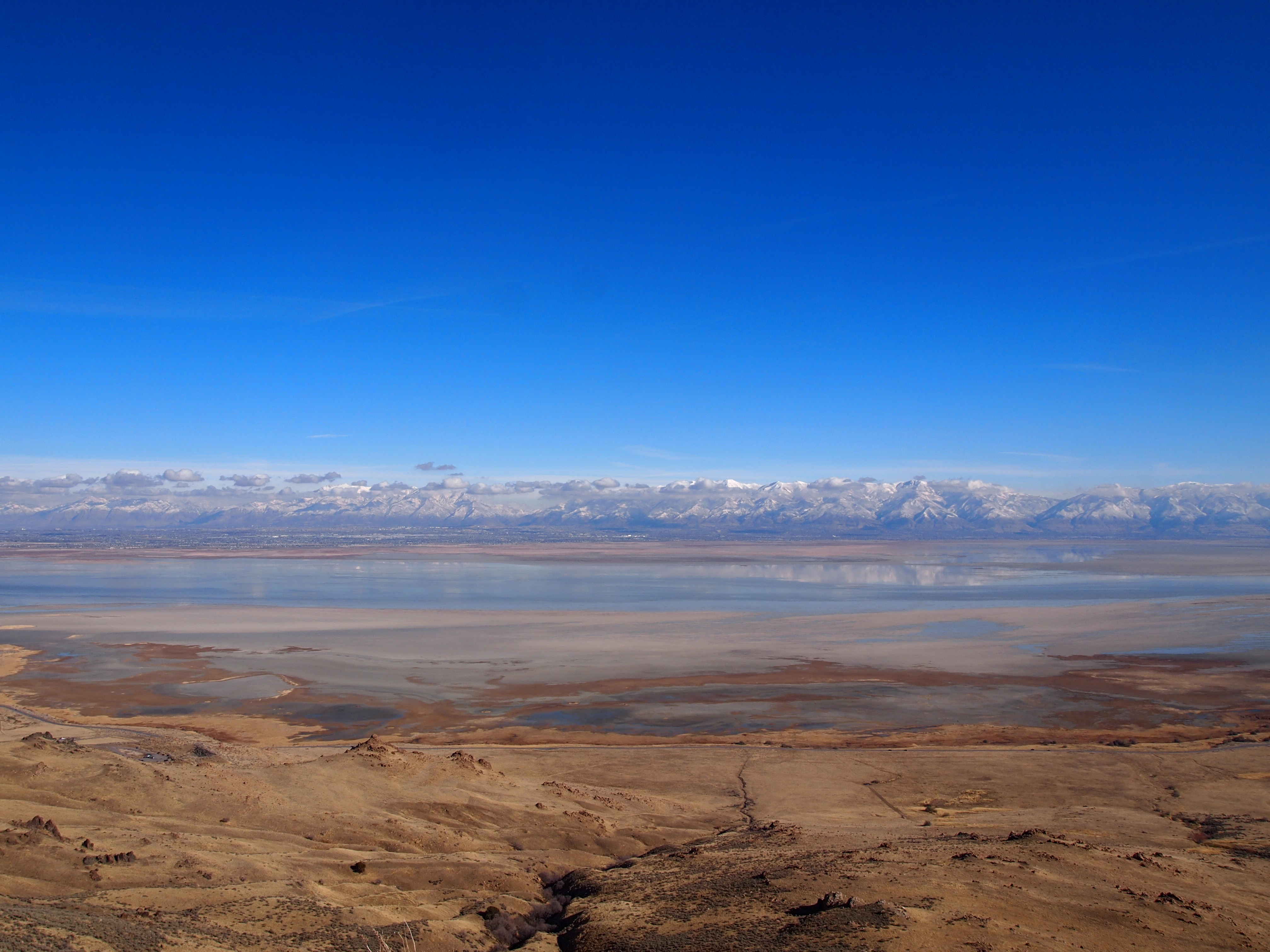
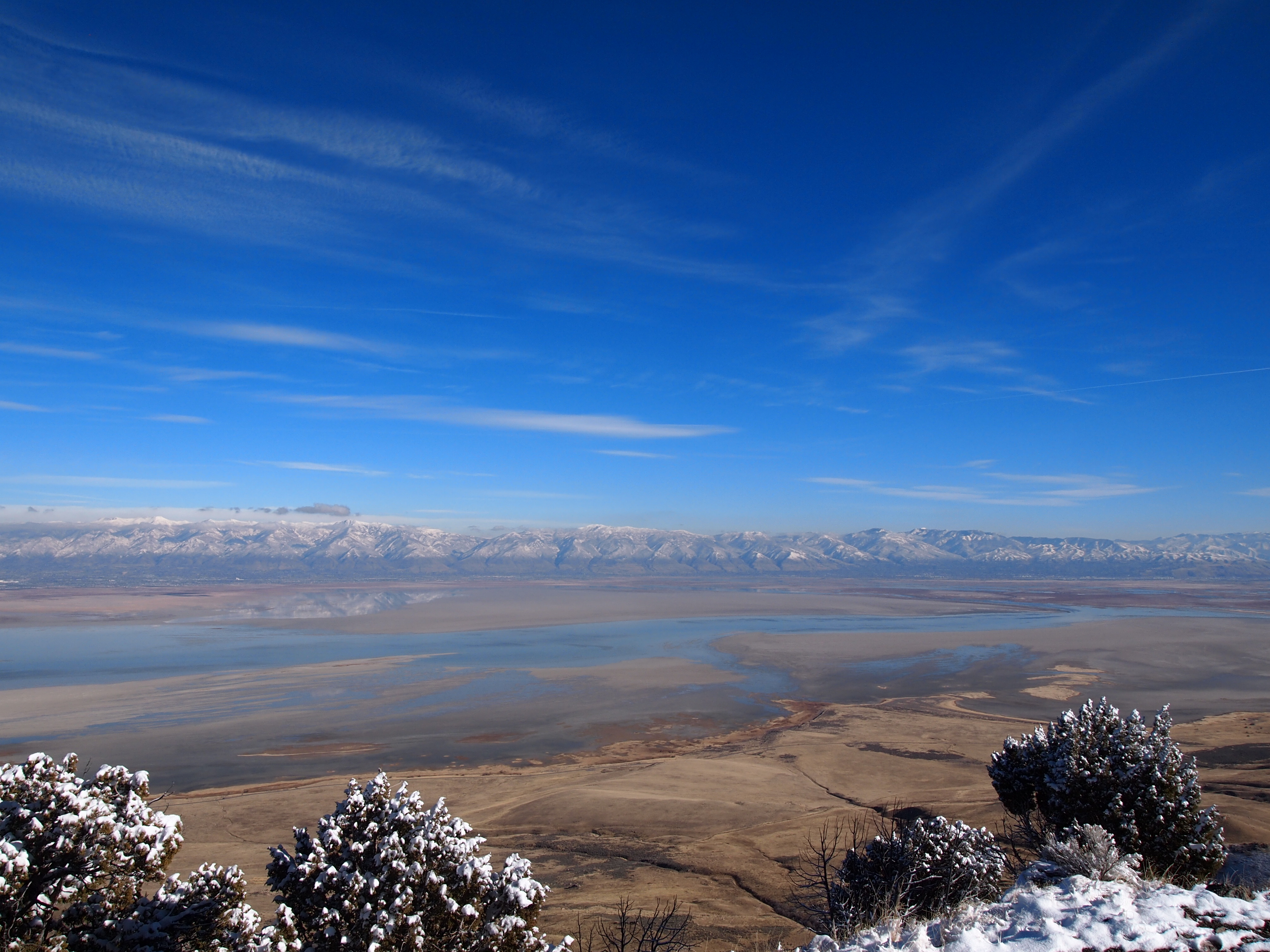
The first part of our journey took us up to the trail split with Dooley Knob. Here, we had our first views of the Great Salt Lake and the west side of the island. We continued, moving west as the trail leveled out a little. This was one of my favorite pieces of the trail on the way in and out; we had sweeping views of the northern part of the island, including White Rock Bay, and the Wasatch Mountain Range to the east.

White Rock Bay

Later, on our way down
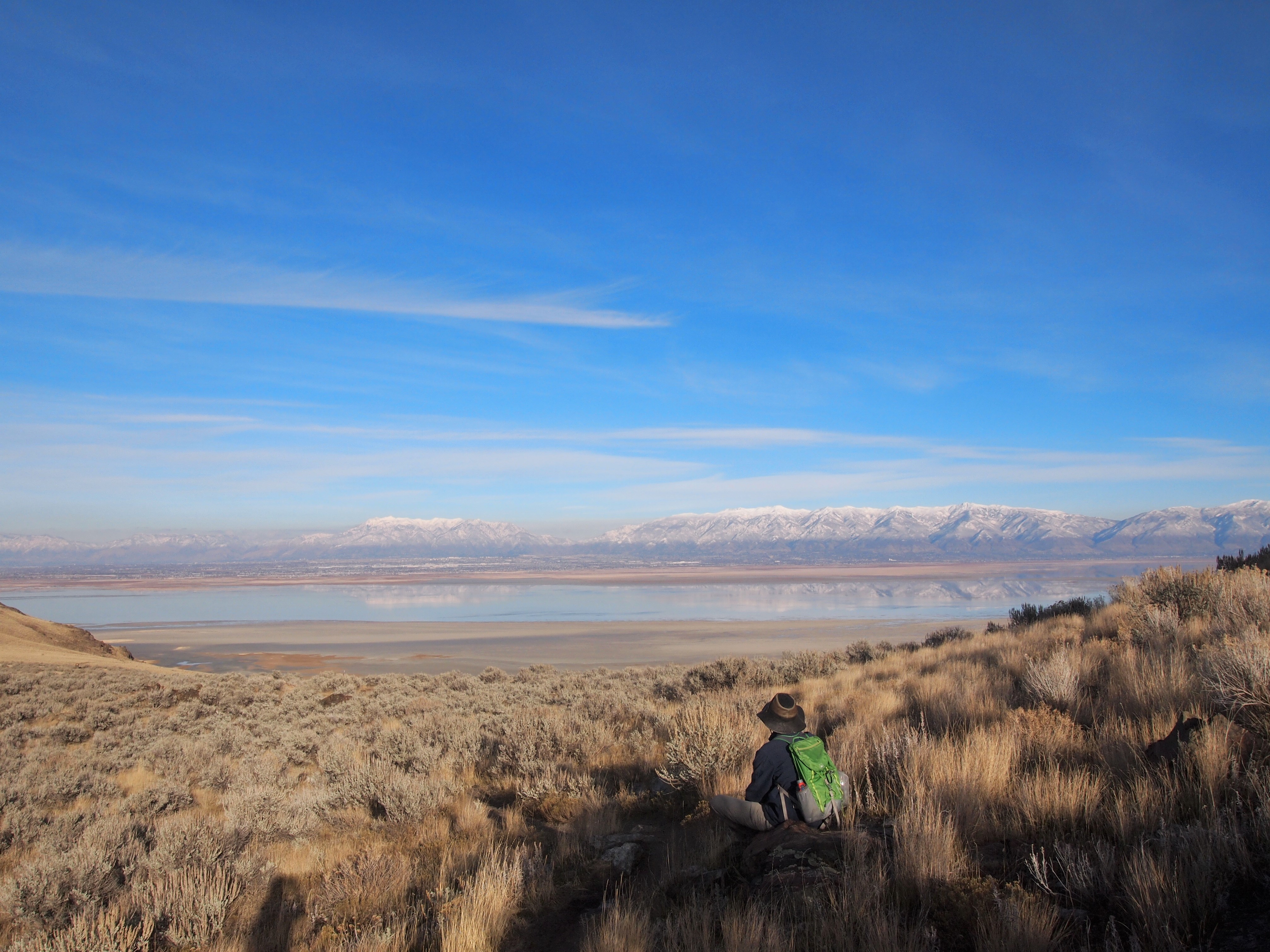
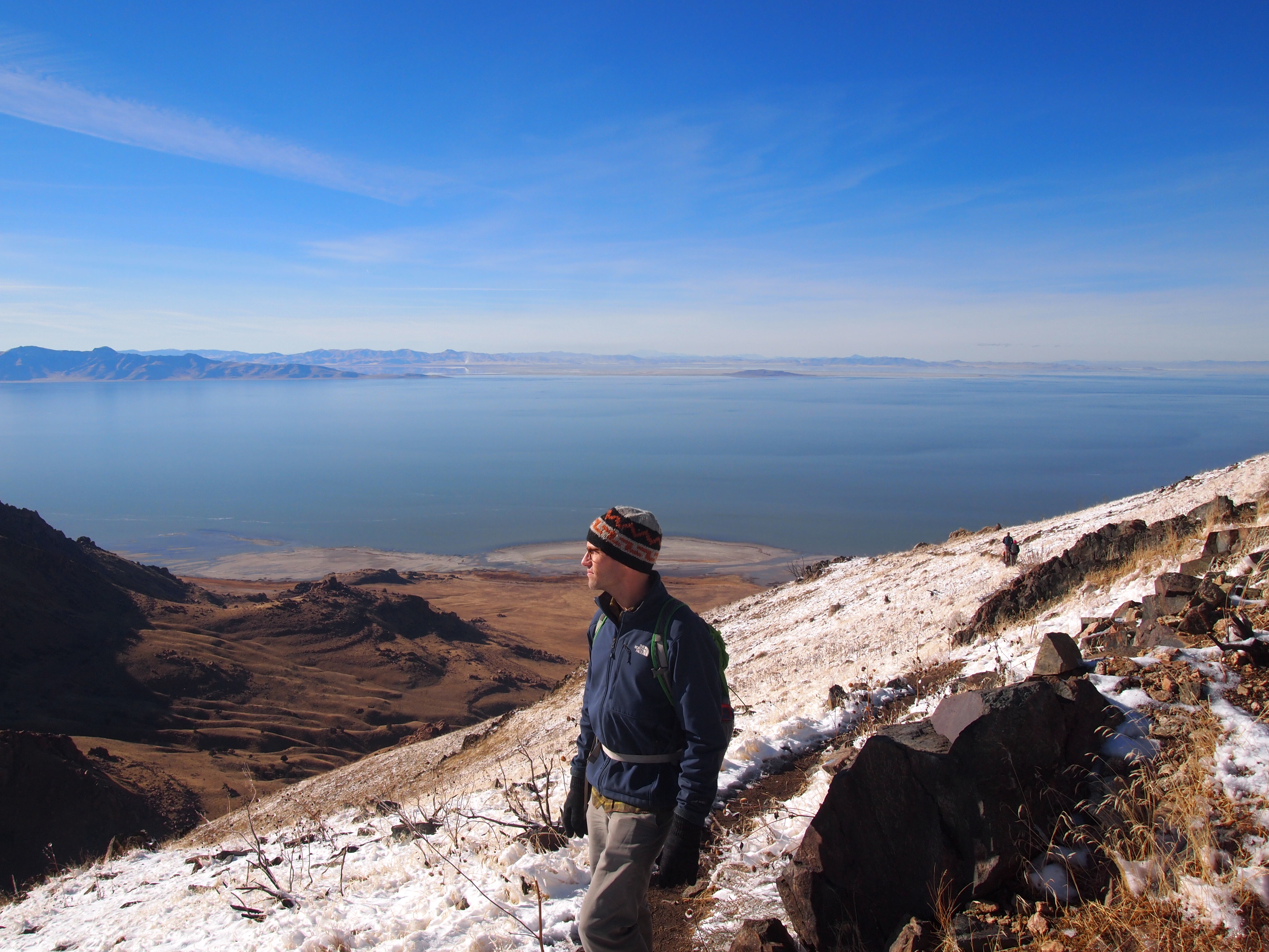
Not a bad view
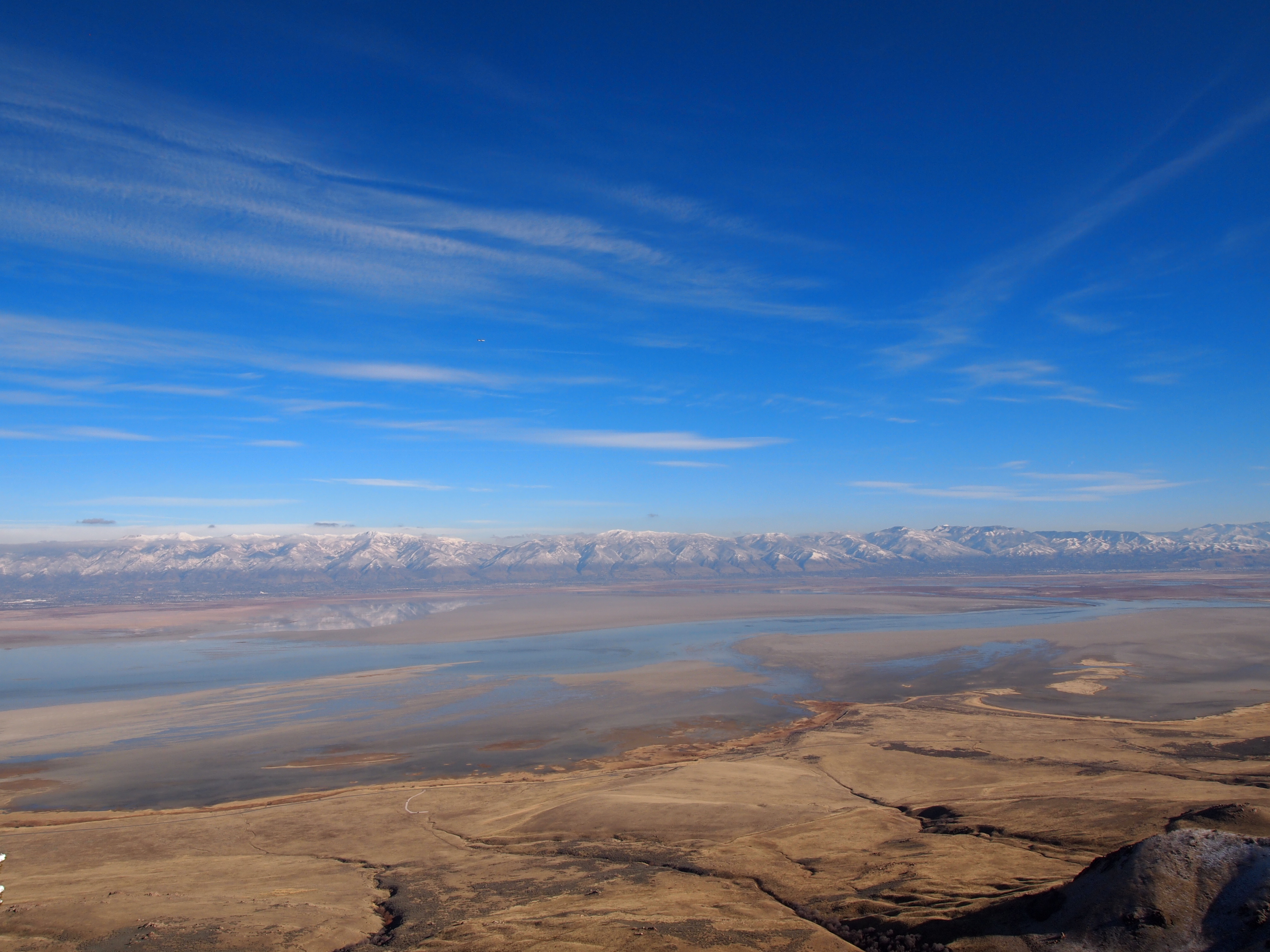
Before the trail turned east, it disappeared into a rock outcropping. We actually passed underneath a couple of boulders and came out on the other side. The rocks were a fun diversion before the trail quickly turned steep. It was a long haul up to our next viewpoint, and I was thoroughly glad I had my trekking poles. At the top of that section, we were rewarded with a stunning view of the Wasatch Range, the Great Salt Lake, and even the park road below.

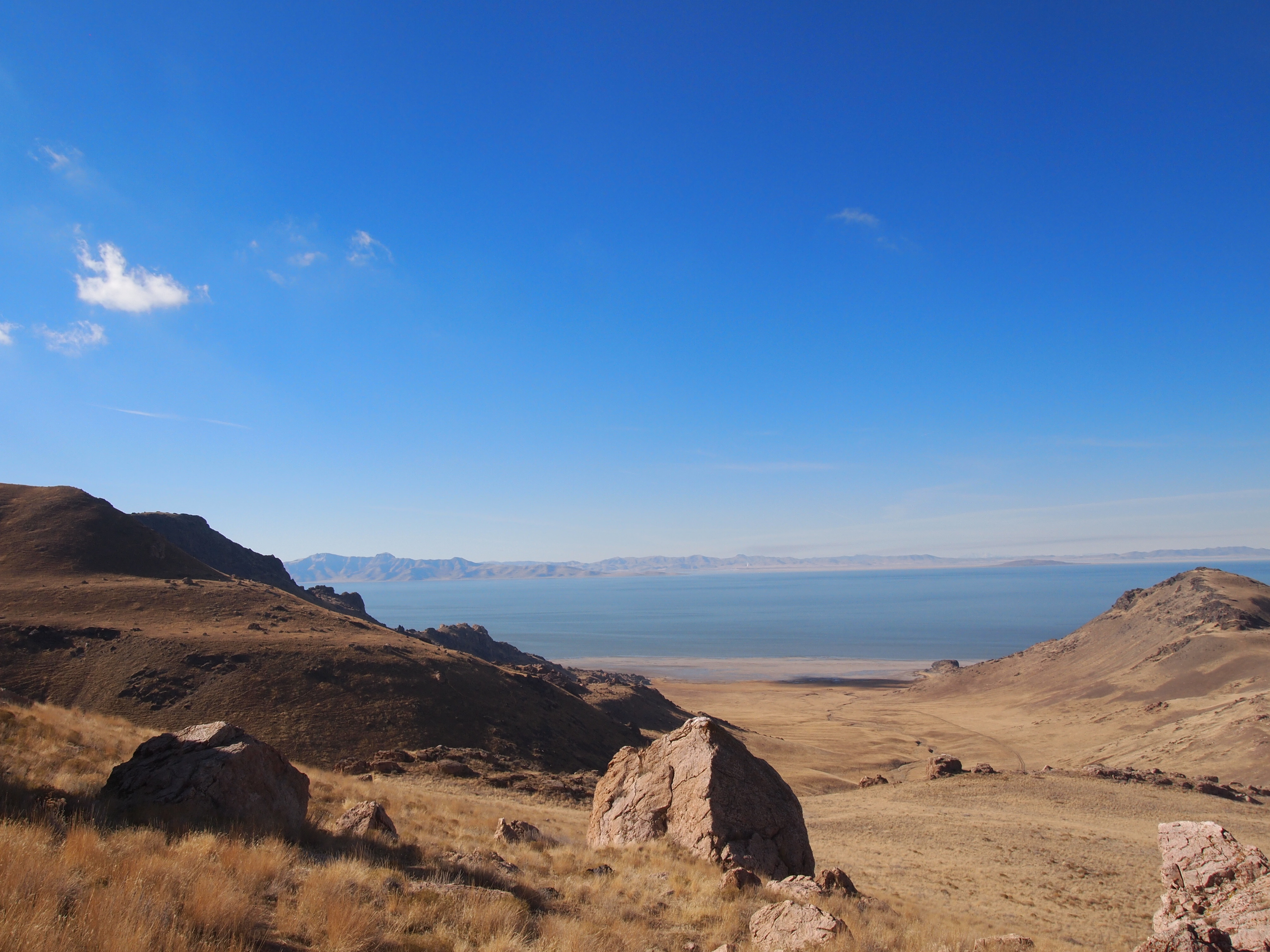
A lovely view on the other side of the boulders
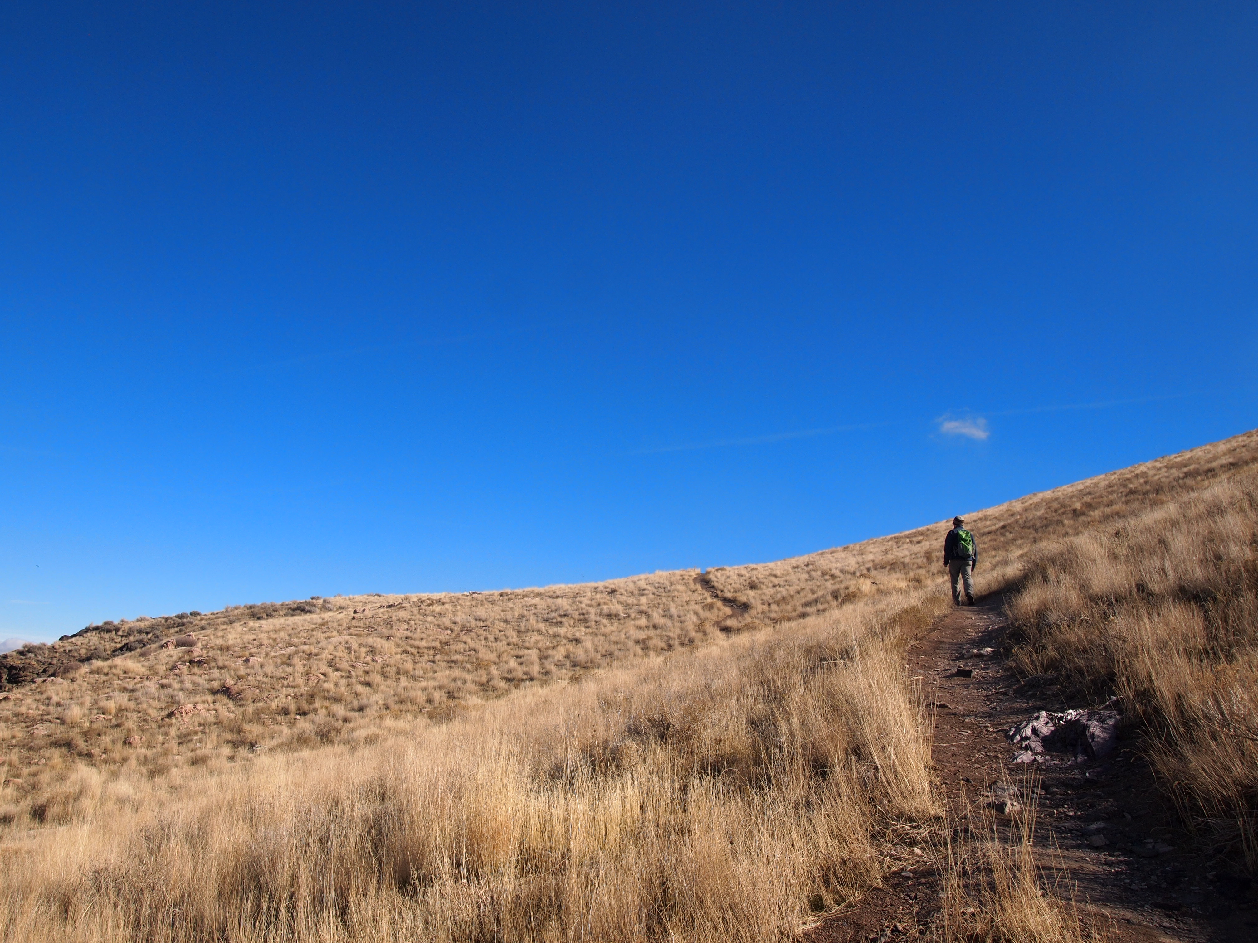
And we’re going upppp
The views get better and better – looking northwest
The perfect spot to catch our breath
As soon as we climbed our driveway, we could see that there was snow on top of Frary Peak. I was a little concerned about the conditions because I still haven’t invested in microspikes (Kahtoola brand if you’re looking for a Christmas gift for us!), and I didn’t want to get near the top only to be foiled by icy patches. Thus far the trail had been perfect; it wasn’t even muddy like I thought it might be from the rain/snow showers on Friday. But at the 2.5 mile marker we hit snow. Thankfully, it wasn’t deep or icy, and we had no trouble navigating up the trail in our hiking shoes.

I loved these dramatic changes in the landscape

Ryan and Lisa with a striking backdrop
We found the snow!
After another half mile, we made it the weather tower. The view from the weather tower is spectacular. It’s an arguably better vantage of the Wasatch Range simply because the view is unobstructed. If hikers wanted to stop here, they certainly could. But, it’s worth going the final two tenths to the top for the true 360 views.
Damn – The Wasatch Range from the weather tower
Up to this point, the snow hadn’t been a problem, but at the weather tower the trail descended steeply into a muddy mess. Soon the trail was shrouded in shade and the combination of the thin trail, slide drop offs, and snowy/icy rocks made it a little more difficult. Microspikes would have been perfect for this short section. Ultimately, the trail emerged from the shadows and it was smooth sailing as we made the final ascent to 6,596 ft.
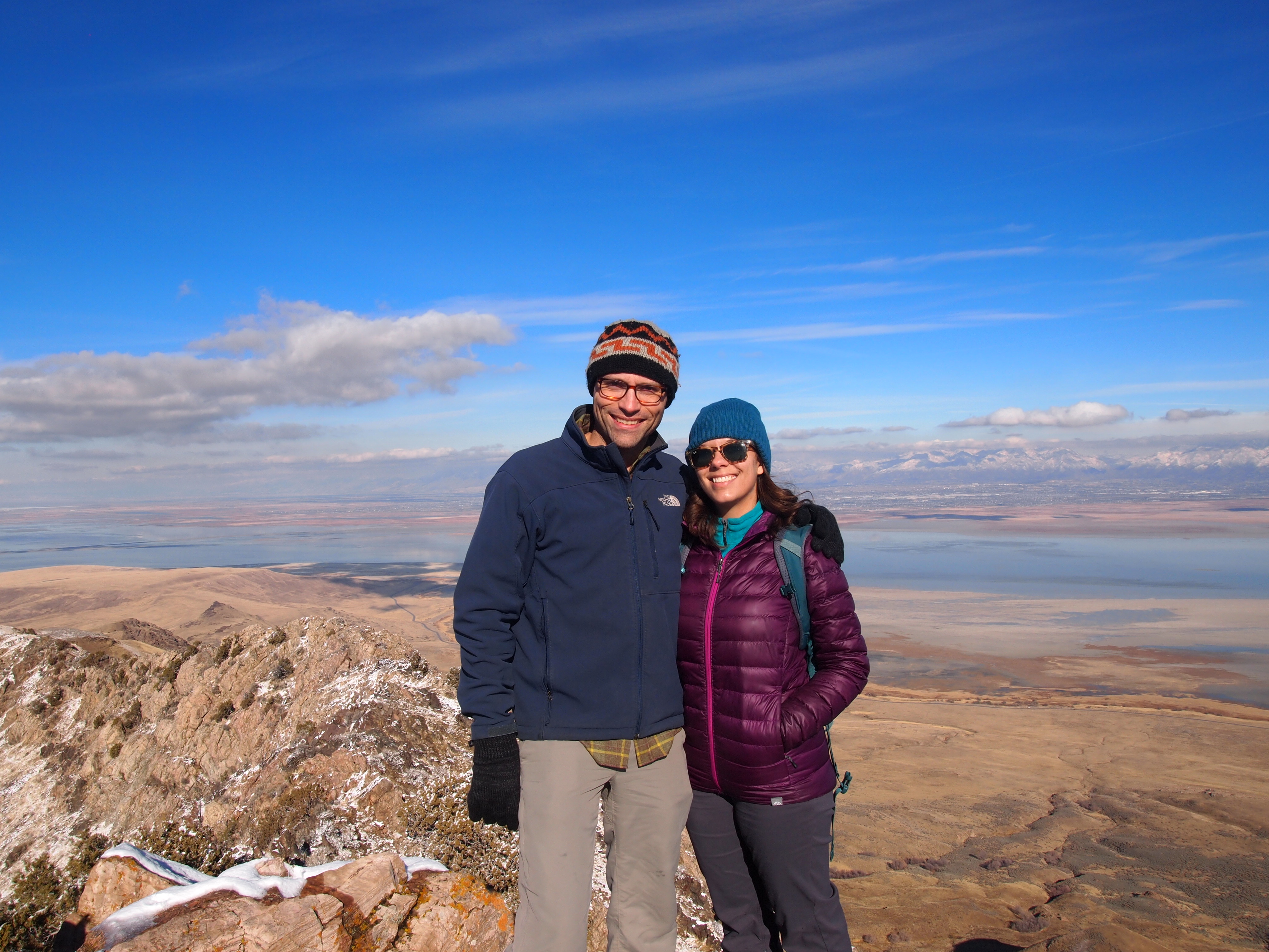
We had maintained our warmth as we climbed up the trail, but at the top all of that warmth seemed to disappear. The wind was biting, and I had to add another layer along with gloves in order to eat my snack. But the views more than made up for it. We could see miles in every direction; it was spectacular.

Out of the weeds and so close to the top!

Made it!
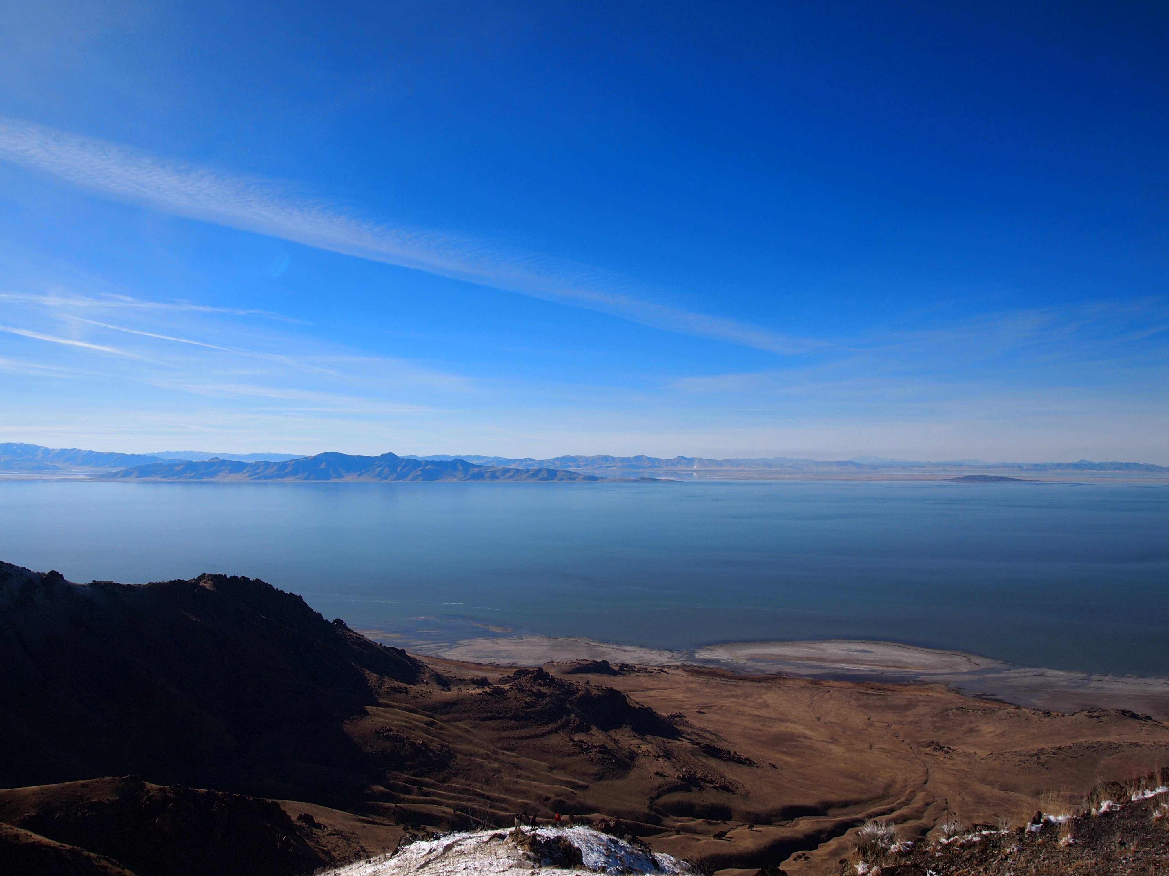
Looking west toward Stansbury Island
Hello, Wasatch!

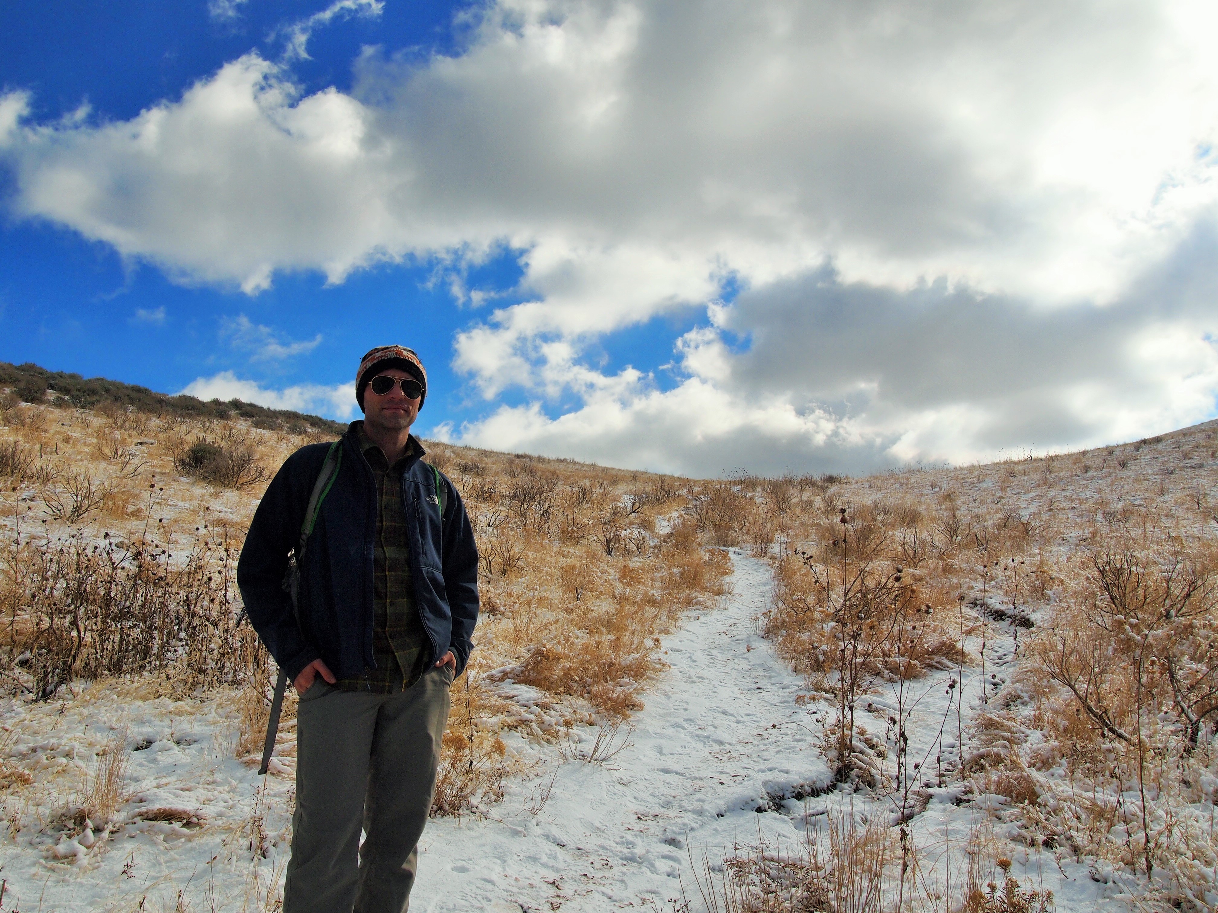
You can see the trail from the weather tower outlined in the snow behind Zach.
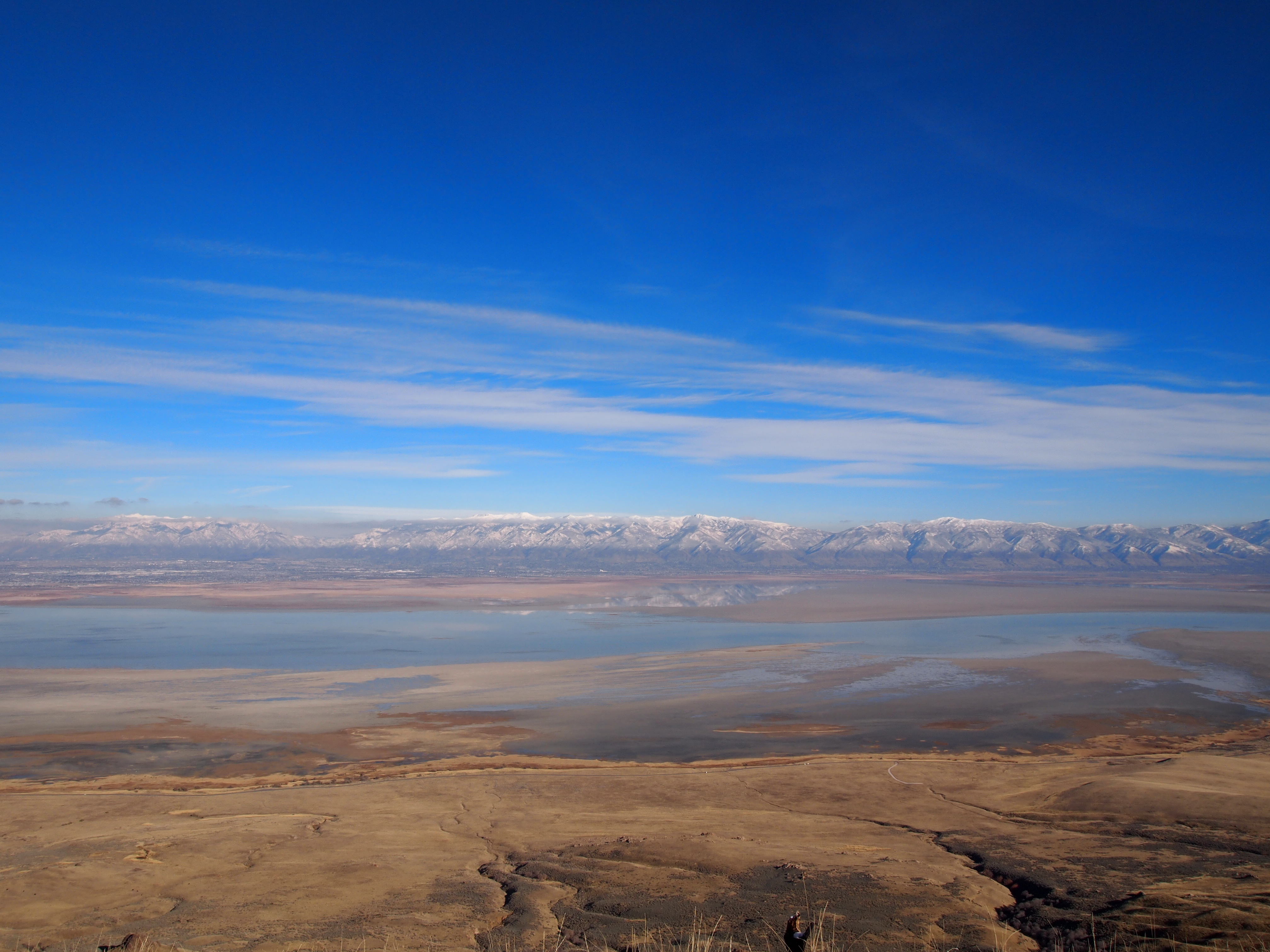
An expansive view of southern Antelope Island, Oquirrh Mtns. on the right, Wasatch Mtns. on the left
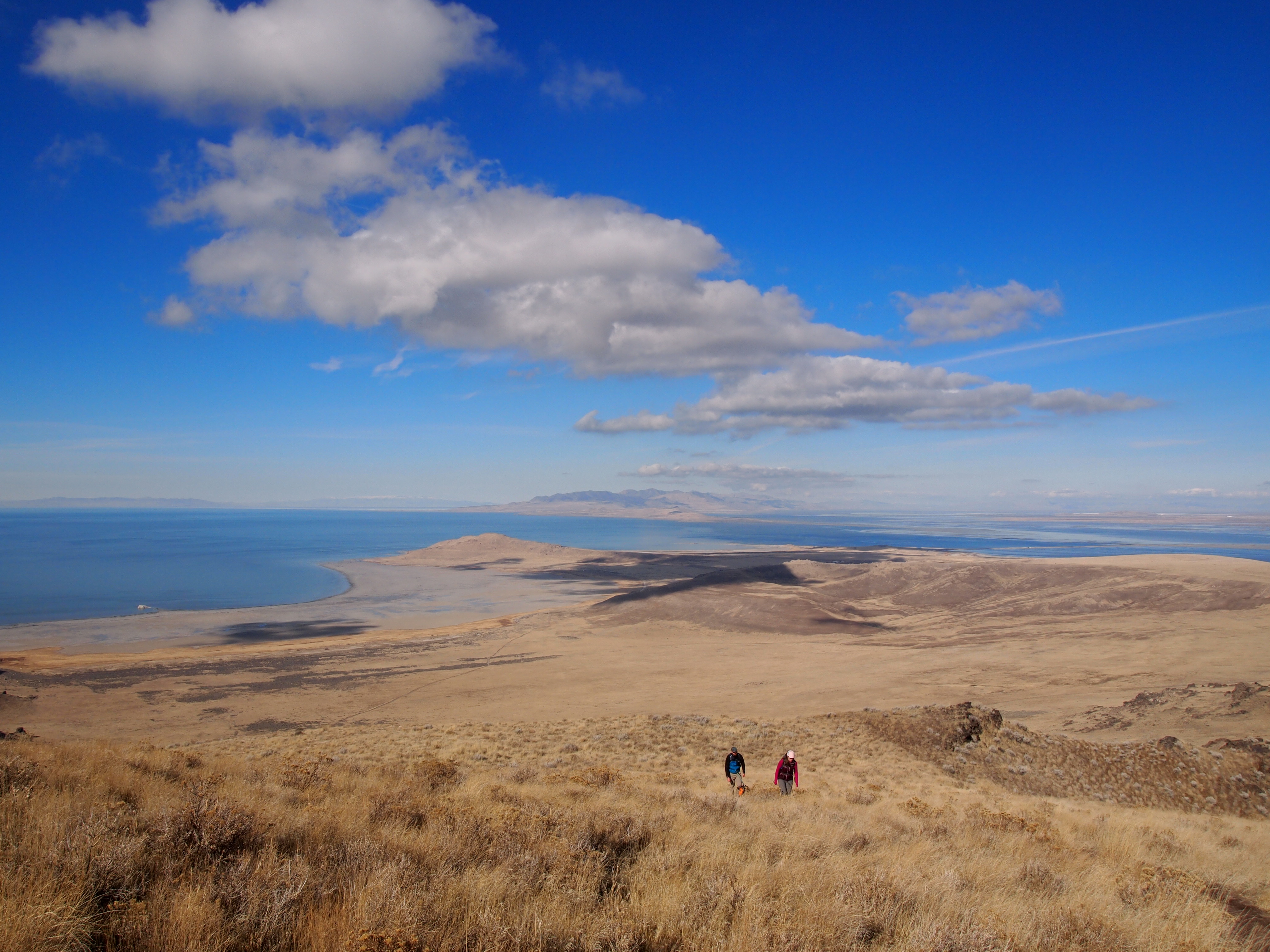
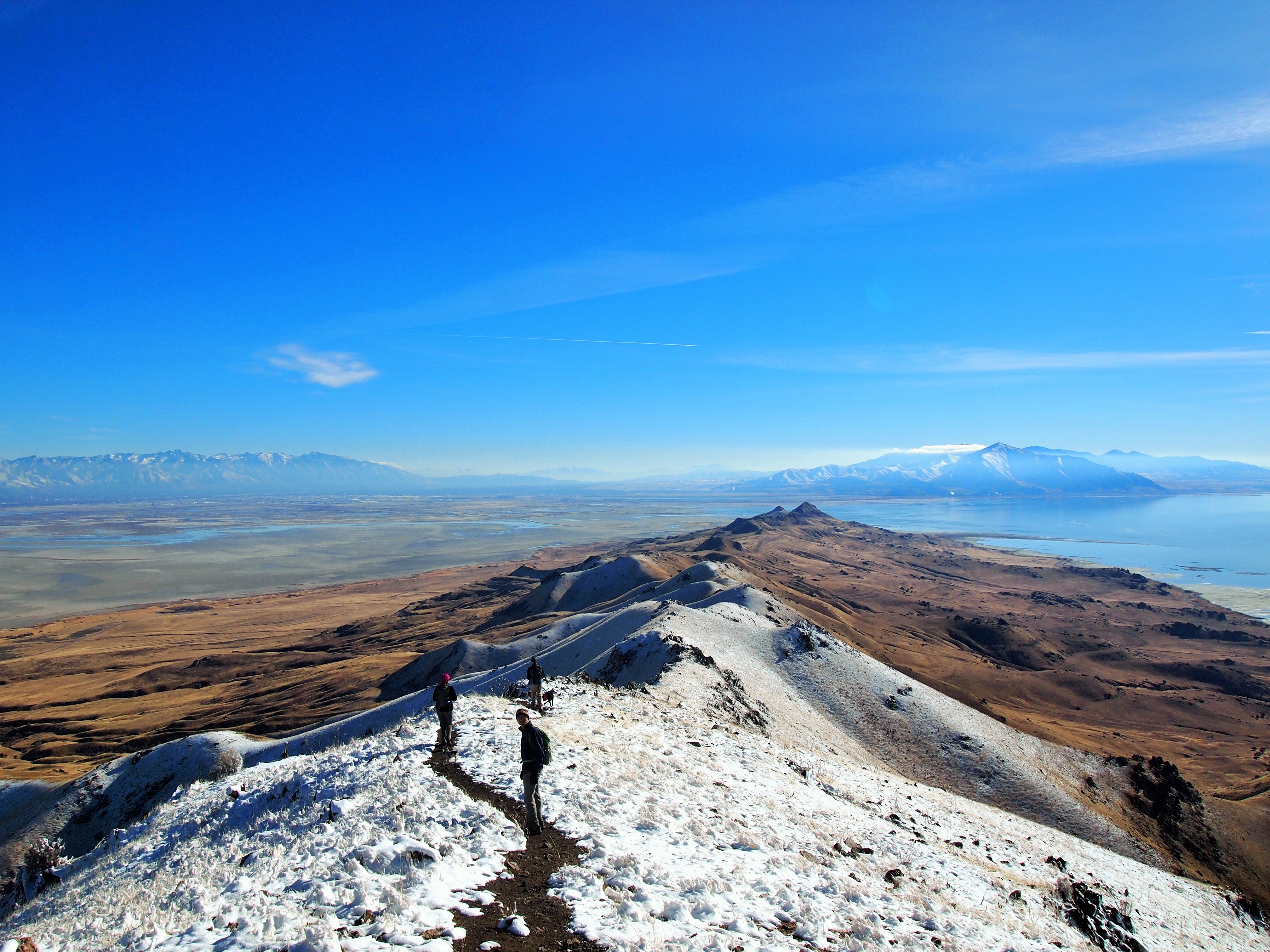
We began our descent, and once we made it back to the weather tower it was quick and simple. For the majority of the route down we faced the Wasatch Range, and it was overwhelmingly beautiful. I took TOO many photos and none of them fully captured the raw beauty.
Now Zach has a new goal: climb to Frary Peak for sunset. So maybe I’ll update this post with sunset photos one day.


Categories: North America, USA, Utah

1 reply »