We left Waterton Lakes behind and set our sights on our next stop, Kananaskis Country in western Alberta. Kananaskis Country, or K-Country, is 1,640 square miles of land in the Canadian Rockies just south of Banff National Park. The region has seven provincial parks and is off the radar of most tourists which made it a great place to stop before entering two of the most popular parks in Canada, Banff and Jasper.
On our way we made a slight detour to Lethbridge where a friend of ours from Austin now lives. He made us an incredible lunch, and we got to catch up for a few hours. It was such a lovely visit! We left in the early afternoon prepared for a couple days of actual camping – no nearby restaurants or grocery stores this time. As we drove across the plains of Alberta, we could see for miles and miles in every direction; it was difficult to imagine we were headed for the mountains again. We drove along vast acres of farms and ranches, and I could see why Alberta is often referred to as “the Texas of Canada.” We soon discovered – much to our surprise – that cattle guards in Alberta are called Texas Gates! We beamed with the immense pride only native Texans can feel at this revelation.
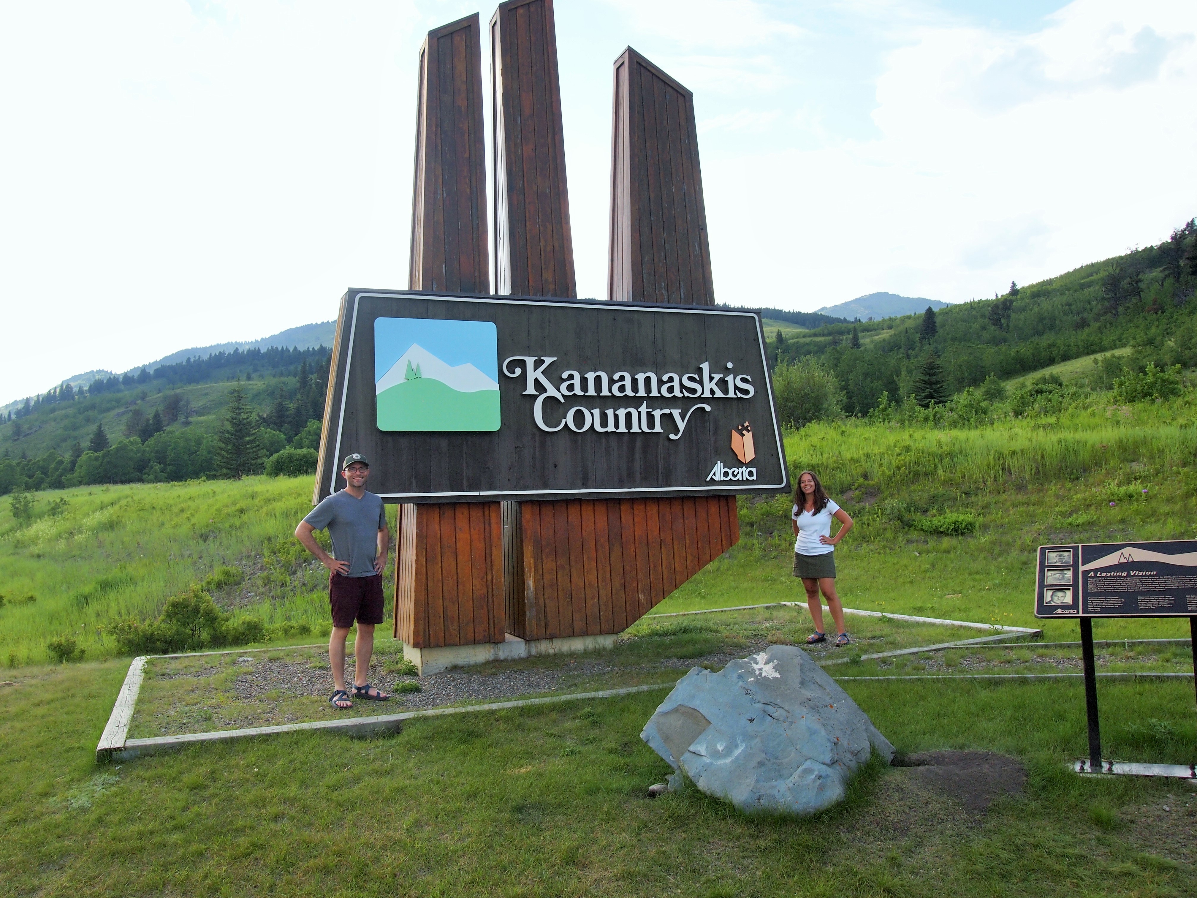
As we drove along, Zach reached up to adjust the rear-view mirror and it promptly fell down! So, we were without a rear-view mirror for the rest of our trip. (An attempt was later made to remedy the problem with duct tape purchased at a hardware store in Banff, but it was wildly unsuccessful.) Finally we arrived at the entrance to K-Country, complete with a large sign. I pulled over to take a picture, and oddly enough, the driver behind us pulled over and offered to take our photo. Then he grabbed his backpack and headed off into the grass…
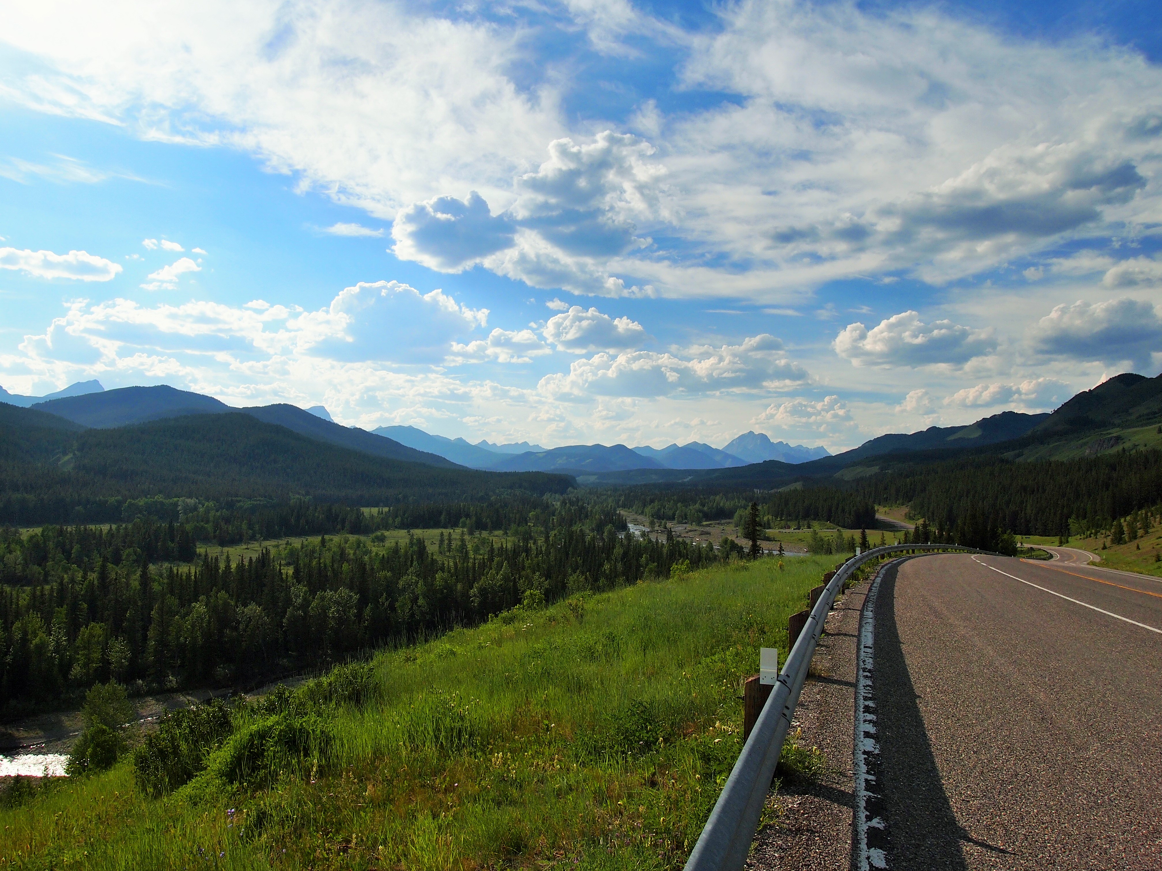
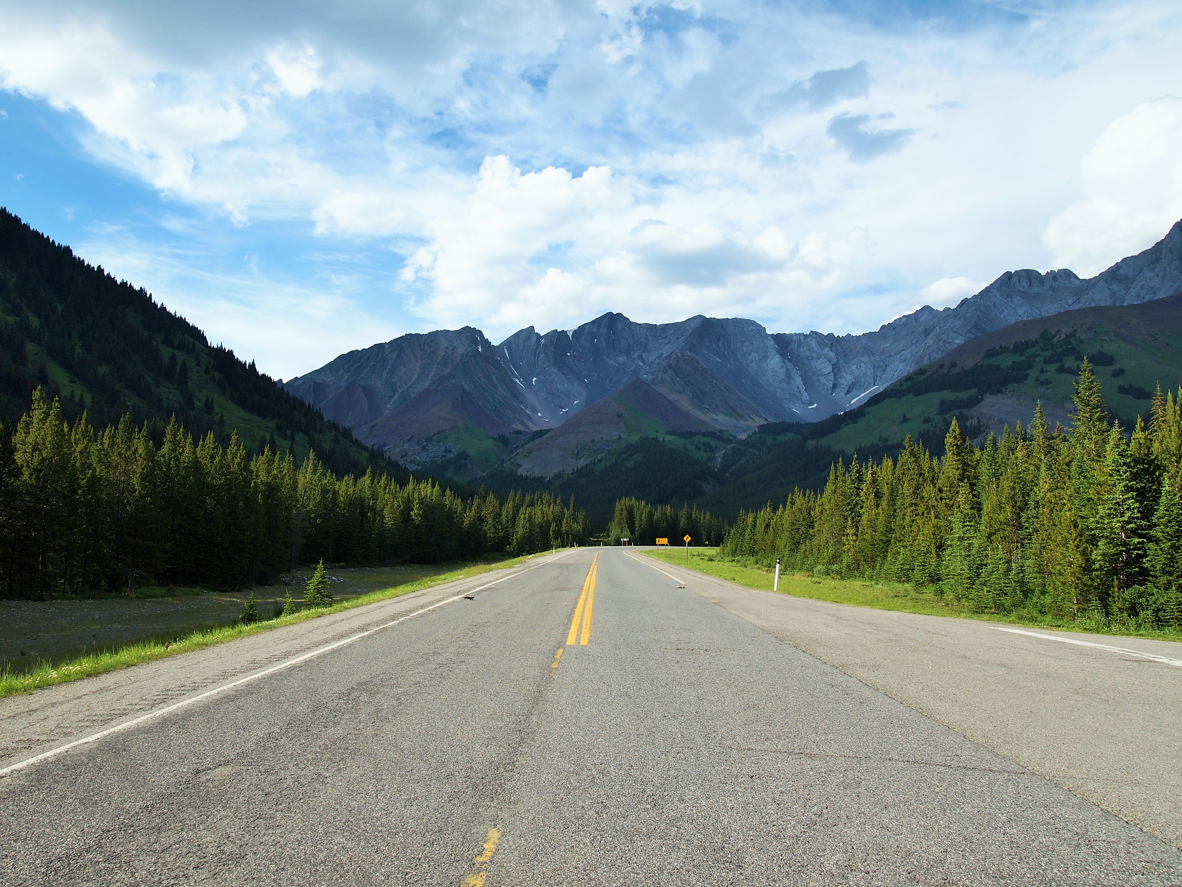
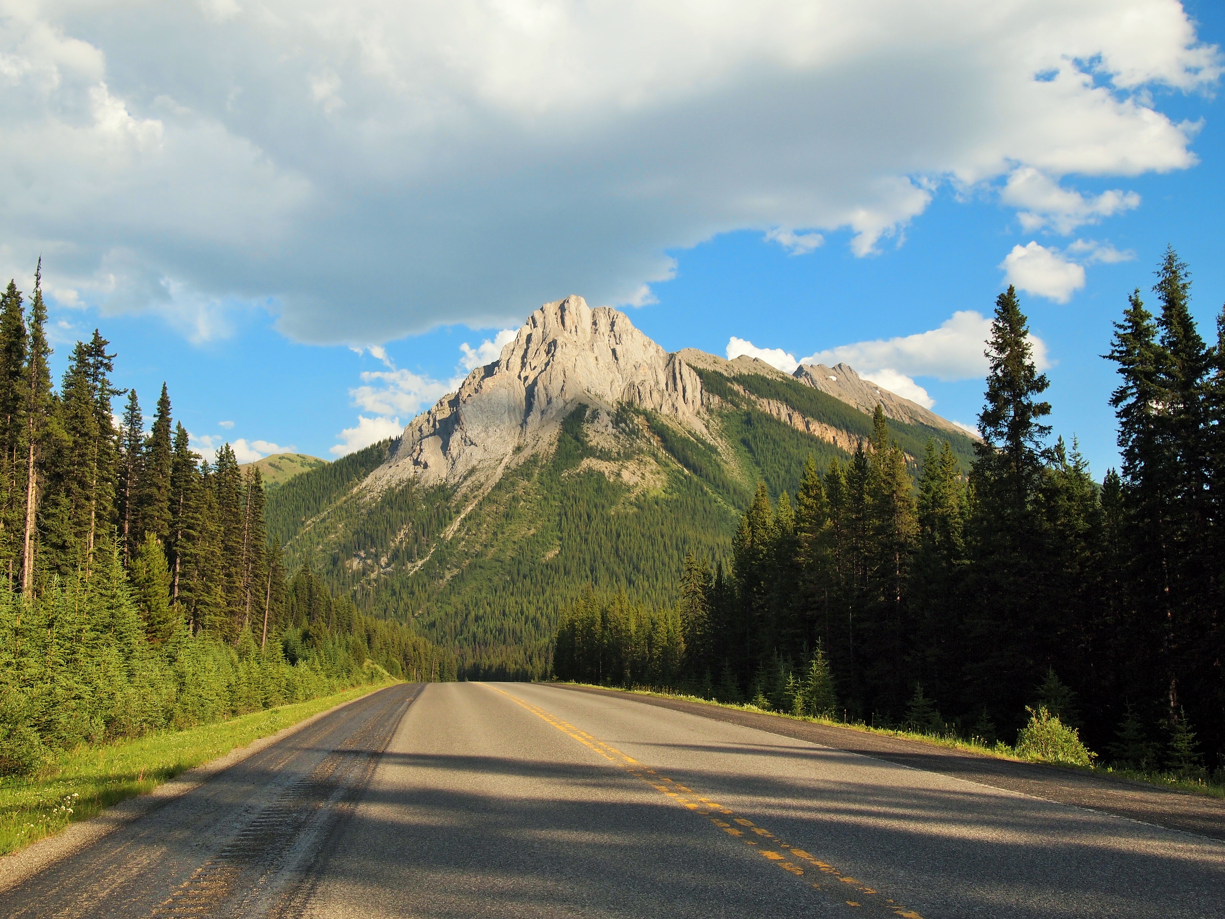
We drove along Hwy. 40 toward Peter Lougheed (pronounced Lawheed) Provincial Park; it was a stunning drive. We left the flat rolling plains and entered gently rolling hills which slowly transformed into mountains. It was early evening, and there was no one else on the road. It felt like we were entering a secret, mystical landscape. We drove over the Highwood Pass, Canada’s highest road pass at 7,310 ft., and coasted down to Peter Lougheed PP.
Before we left Salt Lake, my plan was to arrive and find a campsite on Tuesday. But when we stopped for coffee in Dillon, Montana on Saturday I decided I should make a reservation if I could. I called and was able to make a reservation in the Elkwood Campground. I didn’t write down our site number because I assumed I would receive an email. I never did. No big deal. I figured we could just ask the attendant at the kiosk when we checked in.
We arrived at the campground and discovered the kiosk closed – turns out it’s not in use anymore. Shoot. I knew we were in Loop D, and I knew the number was in the teens, between 110 & 119. I thought it was D112 or D115, but both of those sites were already taken. D116 and D119 were available, so we set up in 116 and hoped it was the right site. With every car that drove by, I held my breath. Eventually, the camp host drove up in his golf cart to check us in and thankfully, D116 was actually our site! Phew. He also told us about a short trail from our campground – the Marl Lake Trail – and told us we should squeeze it in before nightfall.
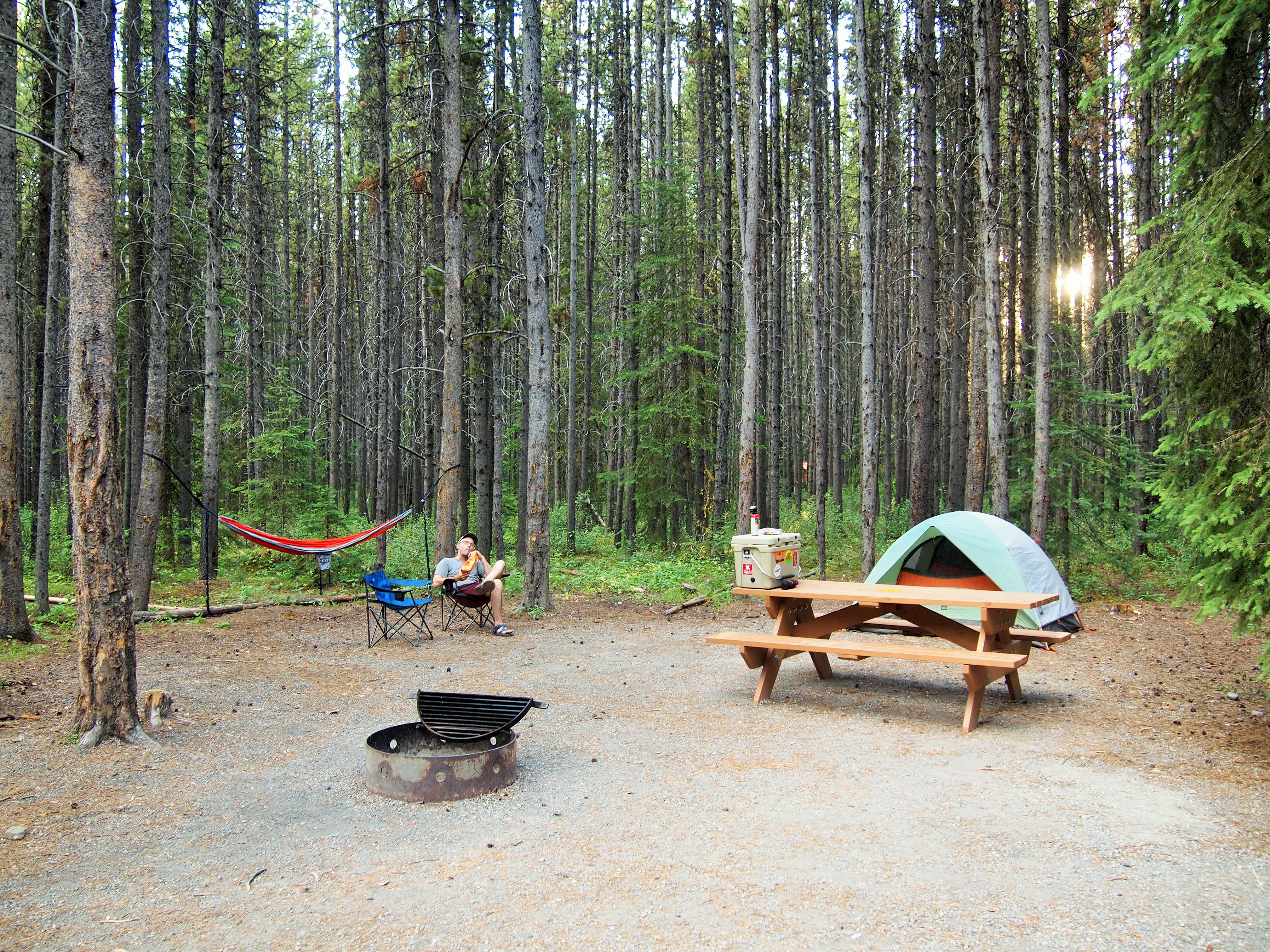
A spacious site after our spot at Waterton Lakes
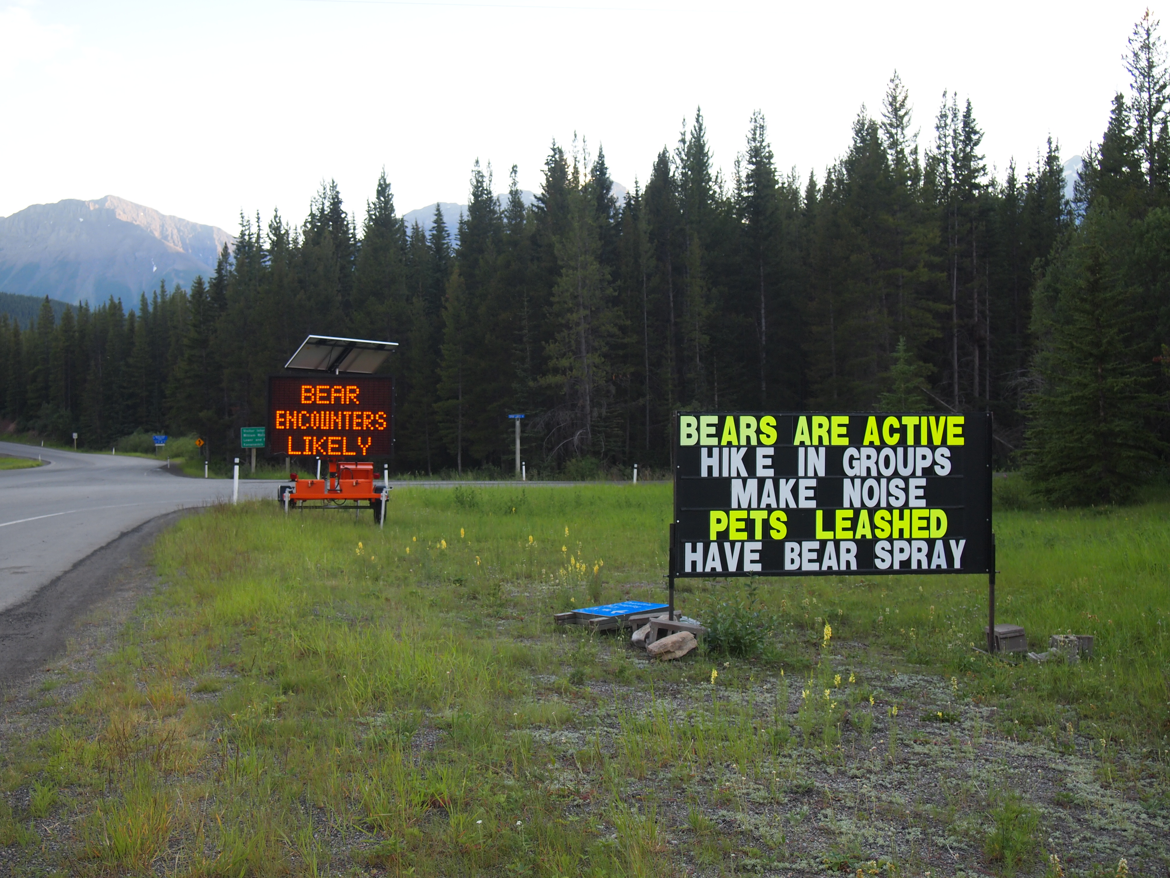
We decided to go for it. The trail was a one mile loop, and although it was 9:15pm, we had plenty of time until dark. But sometimes we’re dumb. We went north instead of south and completely missed the trail to Marl Lake. We ended up at the campground’s amphitheater instead. When we reached the beginning of the trail again, Zach thought we could do it quickly anyway. I was skeptical; it was nearing 10pm. When we arrived at the entrance to Peter Lougheed PP there was a warning about active bears in the area. It was slightly unsettling. And now, we were going to do a quick walk at dusk? For some reason, I went along with it. We had bear spray after all.
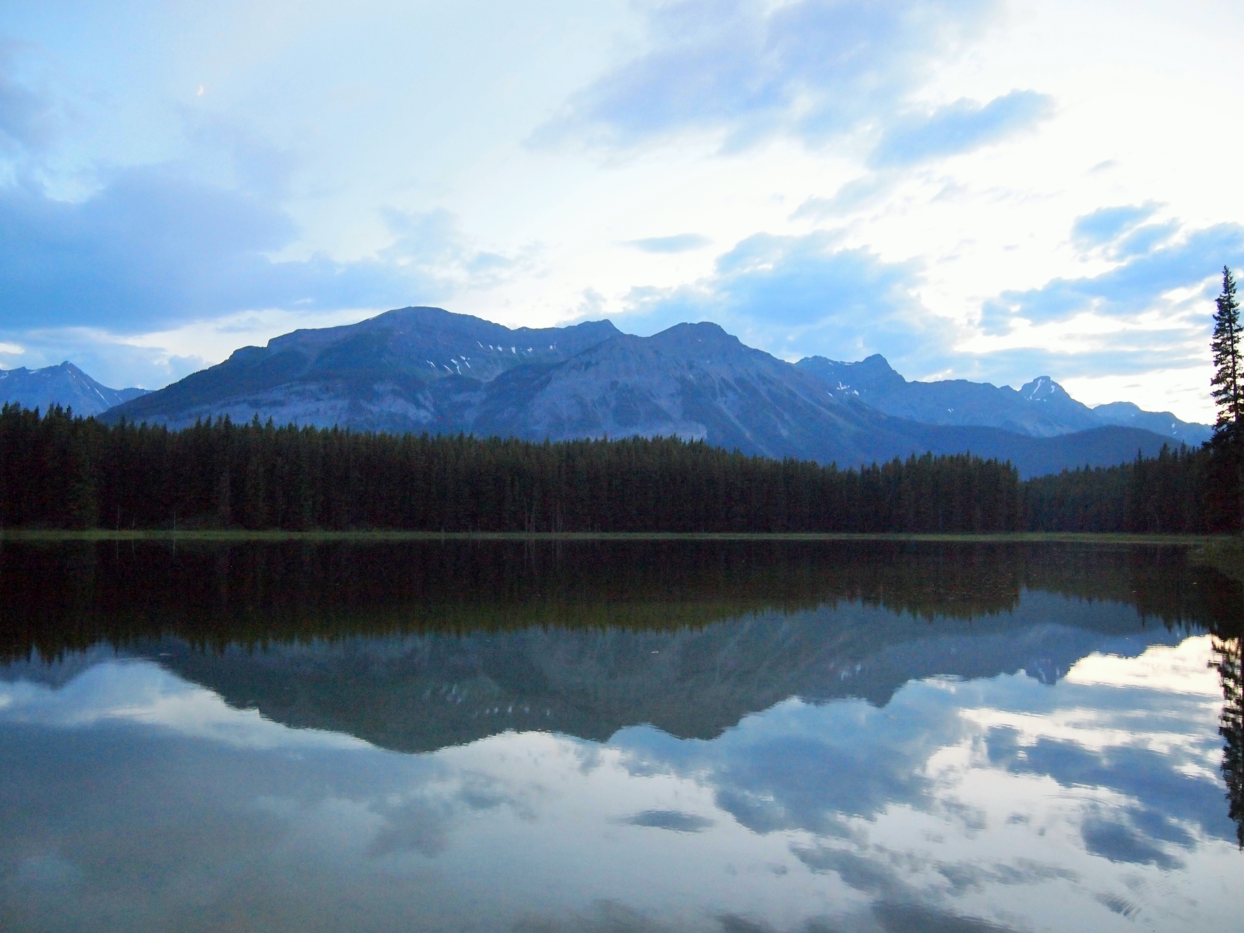
We quickly made our way to Marl Lake, calling out and making noise as we went. We didn’t pass any other people, and we didn’t encounter any wildlife. When we reached Marl Lake I was glad we’d come. The light and the serenity of the evening were sublime. The water was so still, it truly looked like glass. We stayed only a few moments with the knowledge that each second the sky grew darker. Rather than finish the loop, we went back the way we’d come, the way we knew. We emerged in one piece – feeling a little foolish and silly – and prepared to turn in for the night.
Yay?
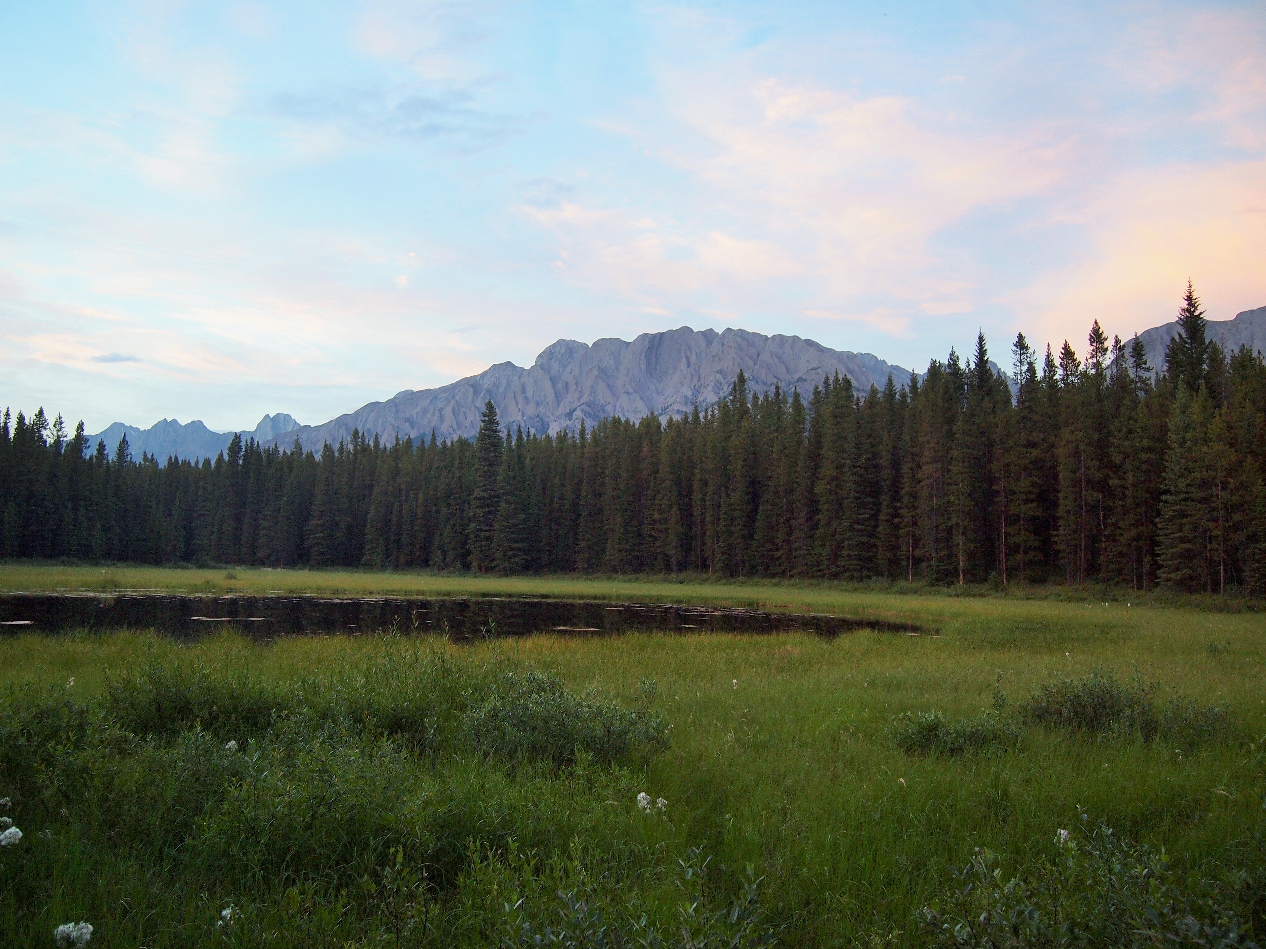
A meadow and the Opal Ridge
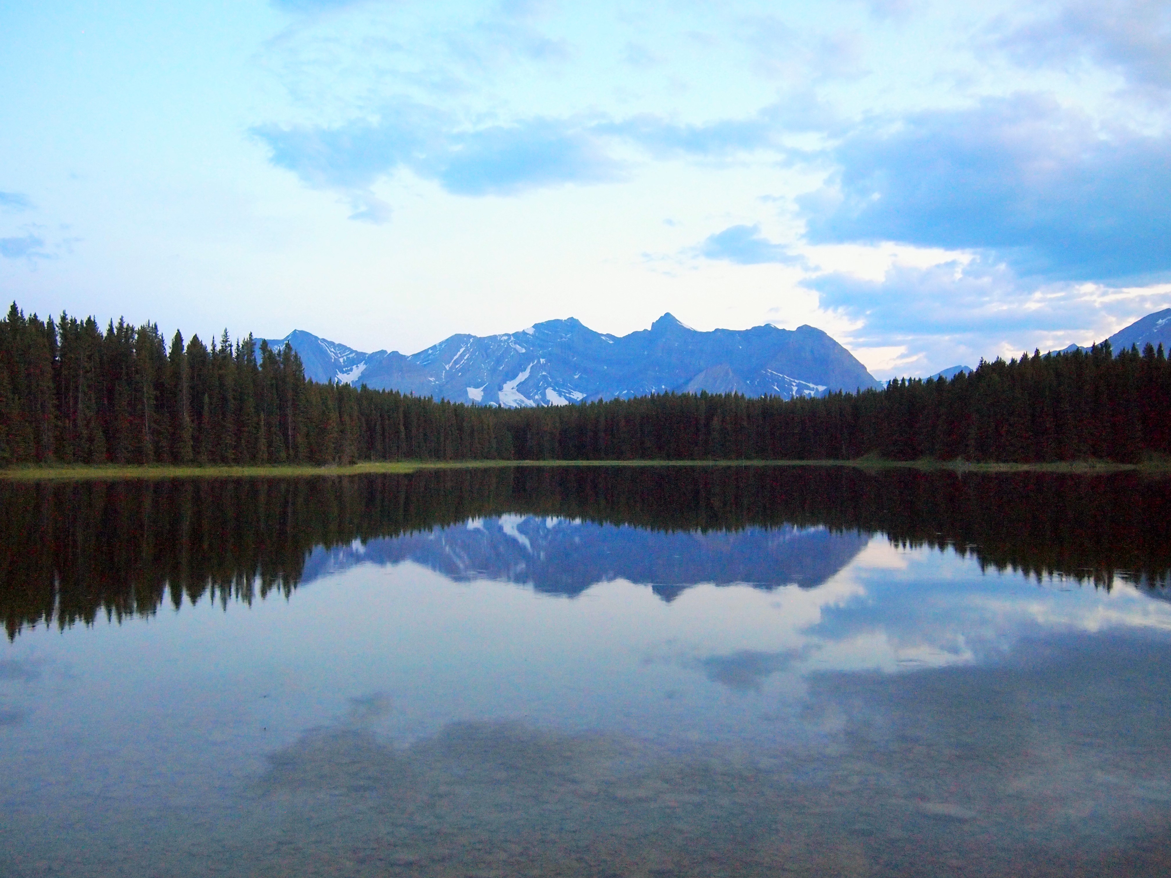
Sublime views at Marl Lake
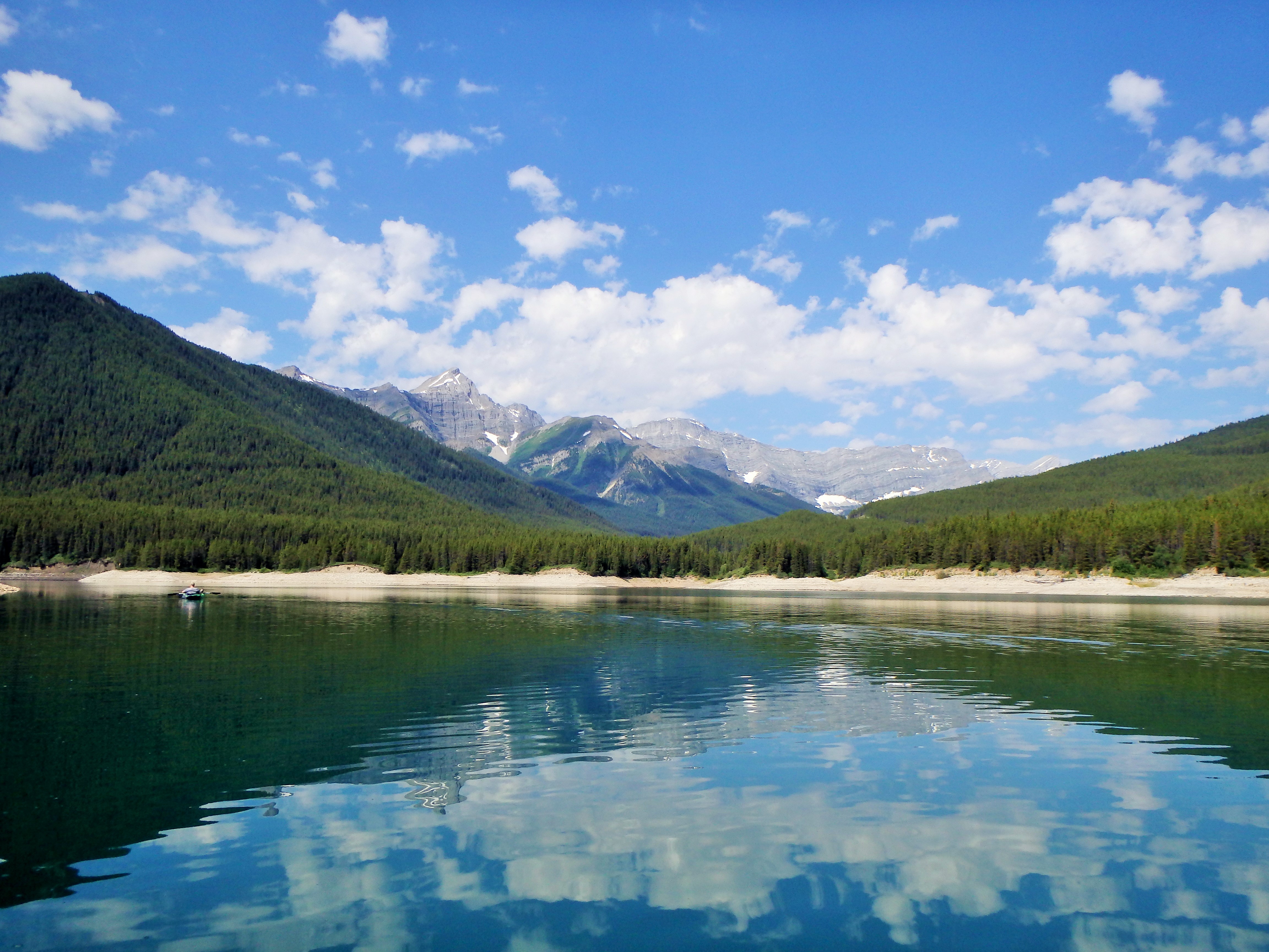
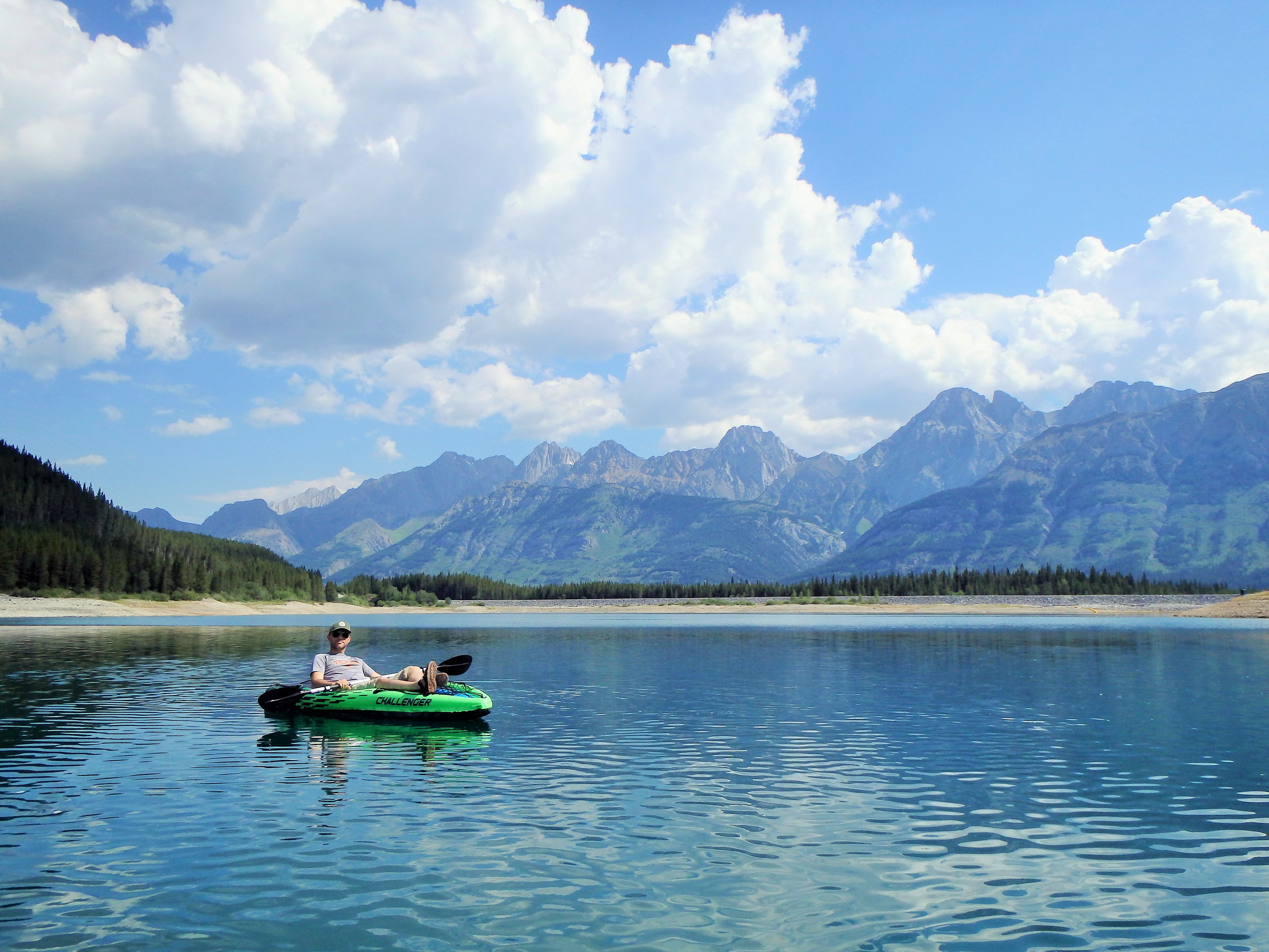
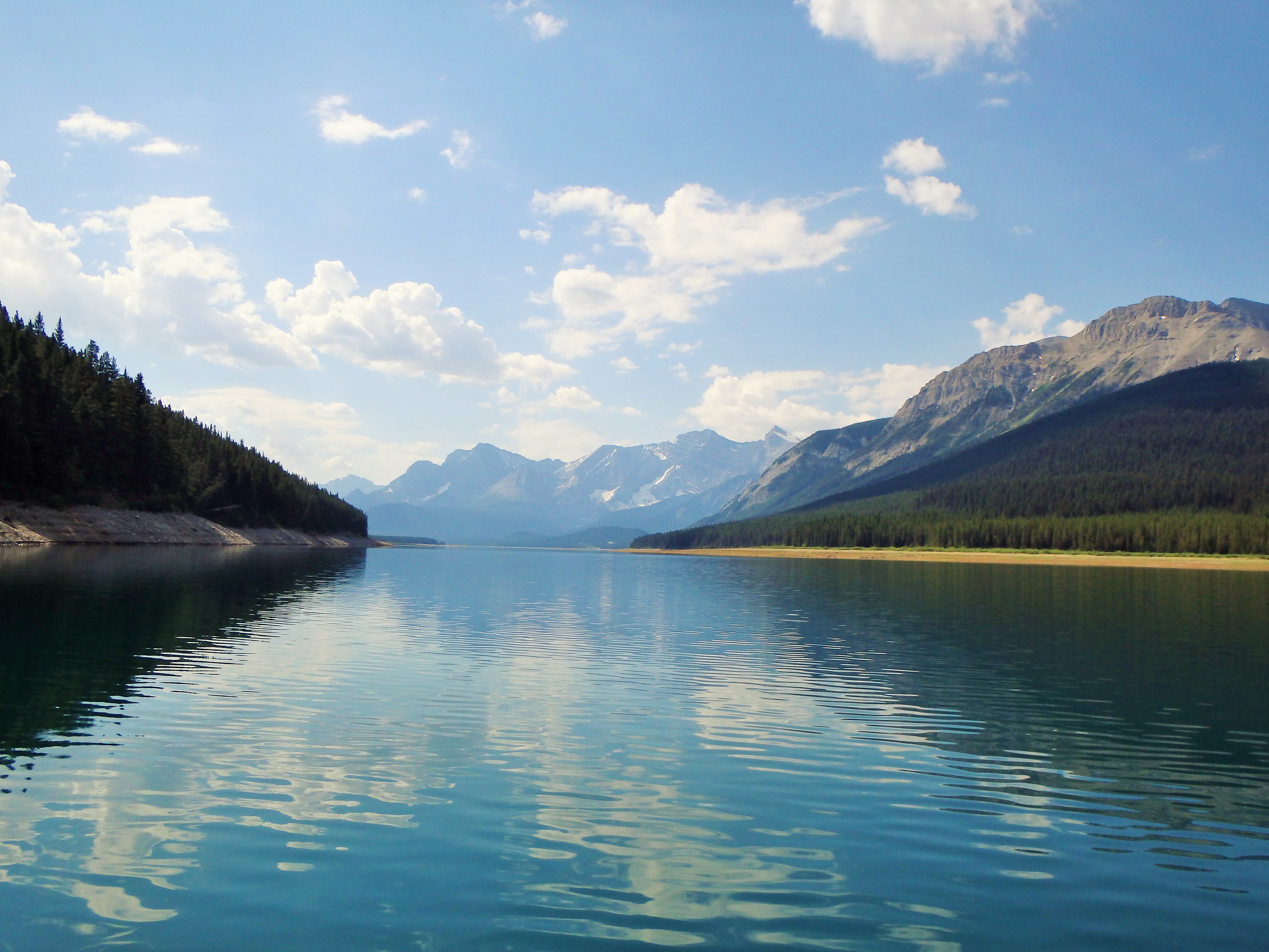
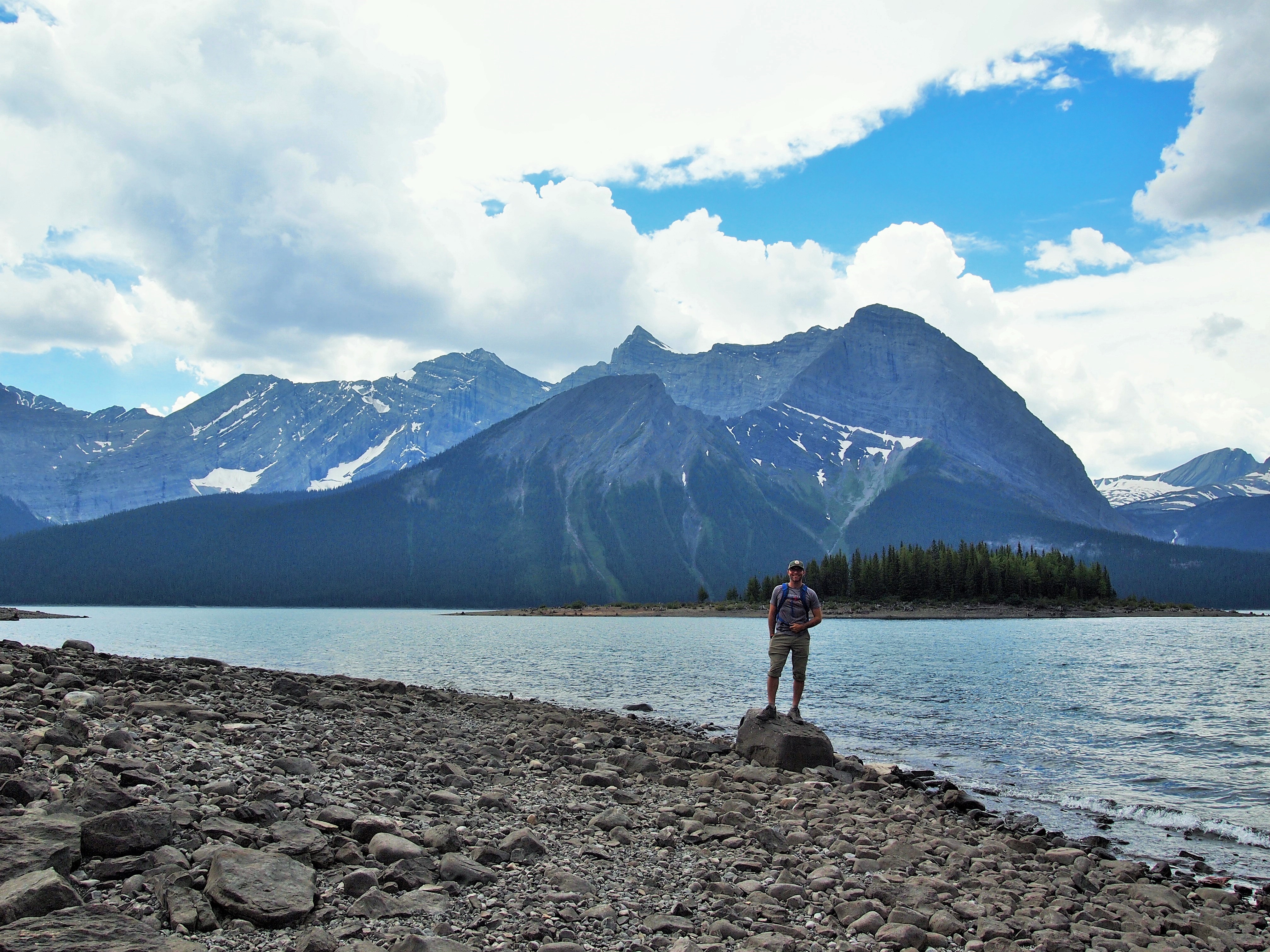
In the morning, I wasn’t completely certain what to do. We had picked out a hike – Rawson Lake – but it was closed until further notice due to bear activity. We knew it was supposed to storm in the afternoon, so we didn’t want to do a full-day hike. But it was a gorgeous morning. I decided we should kayak Lower Kananaskis Lake since we hadn’t used the kayaks at Waterton Lakes. We put in at the top end of Lower K-Lake, near the dam, and were shocked to find few people out. There was a family on the shore, a couple of fishermen, but out on the lake we were all alone. It was surreal. From our perch on the water, we watched as the thunderhead built up in the sky under the gaze of the sun.
A small Zach is in this photo
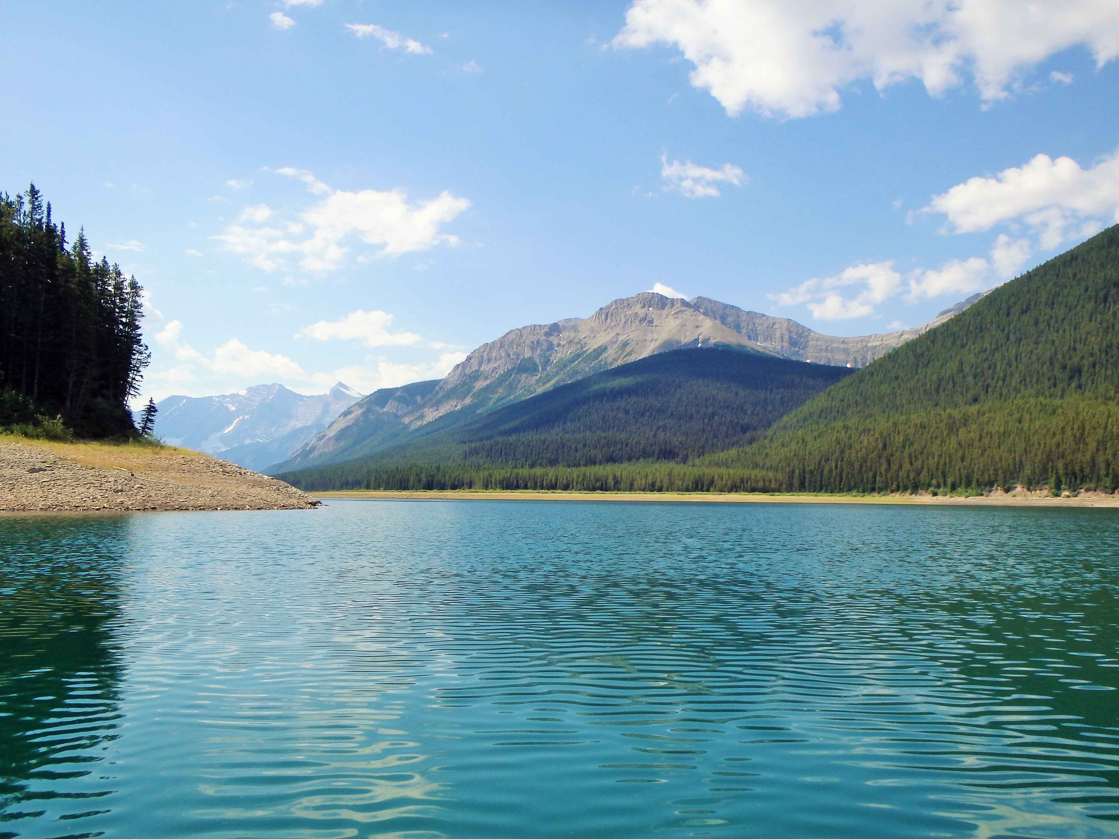
Looking back toward the dam
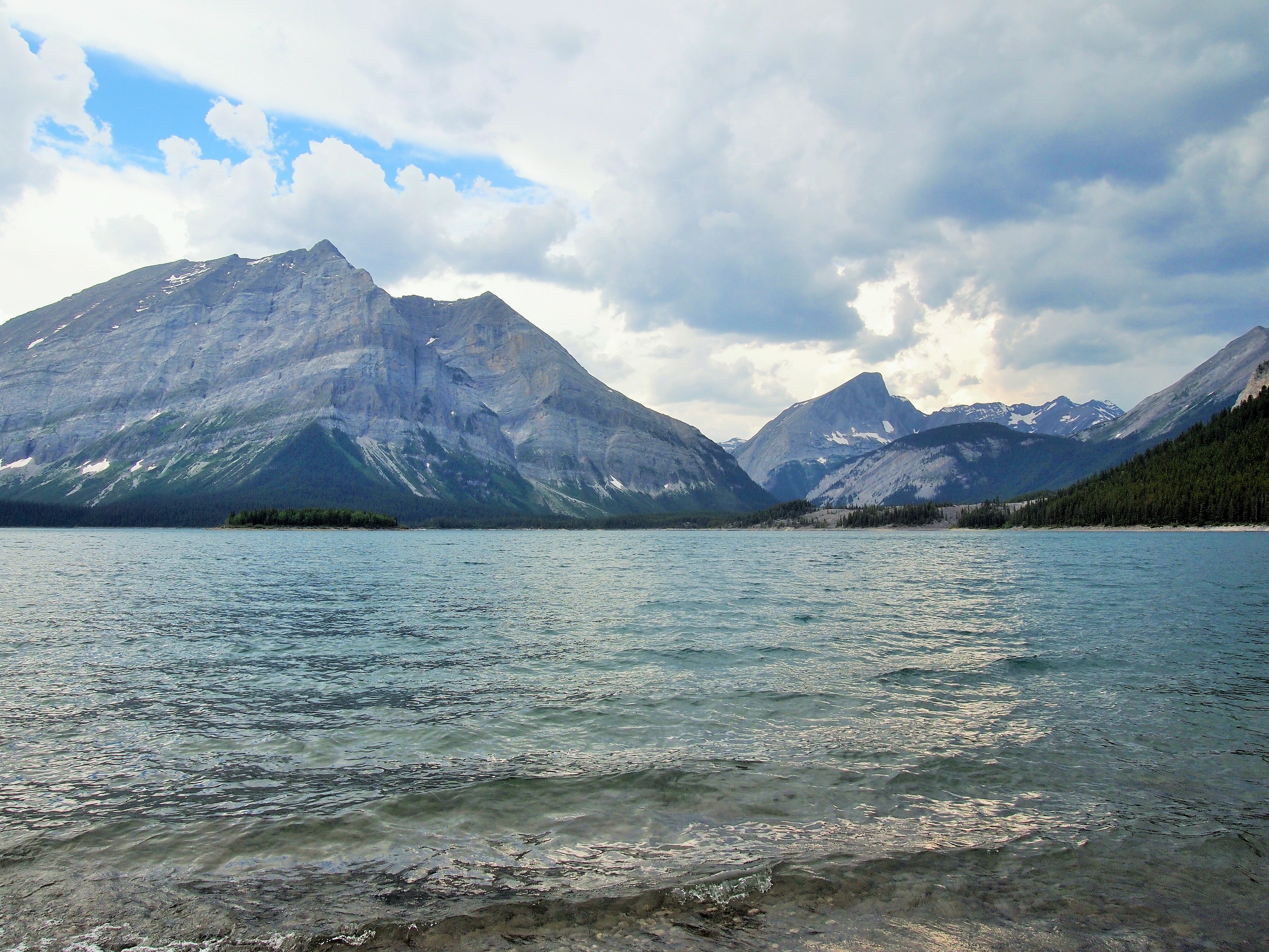
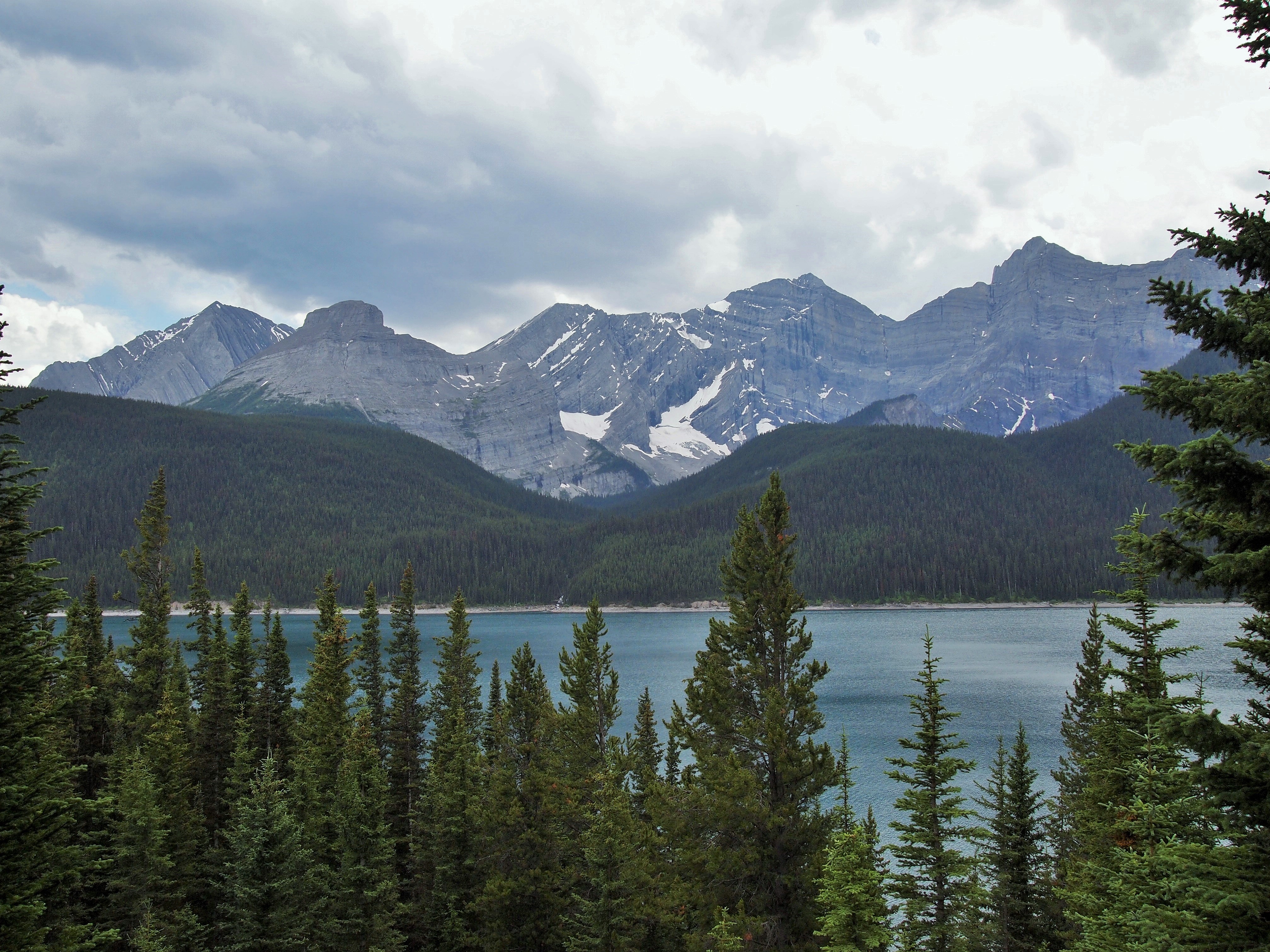
Looking toward Upper Kananaskis Lake
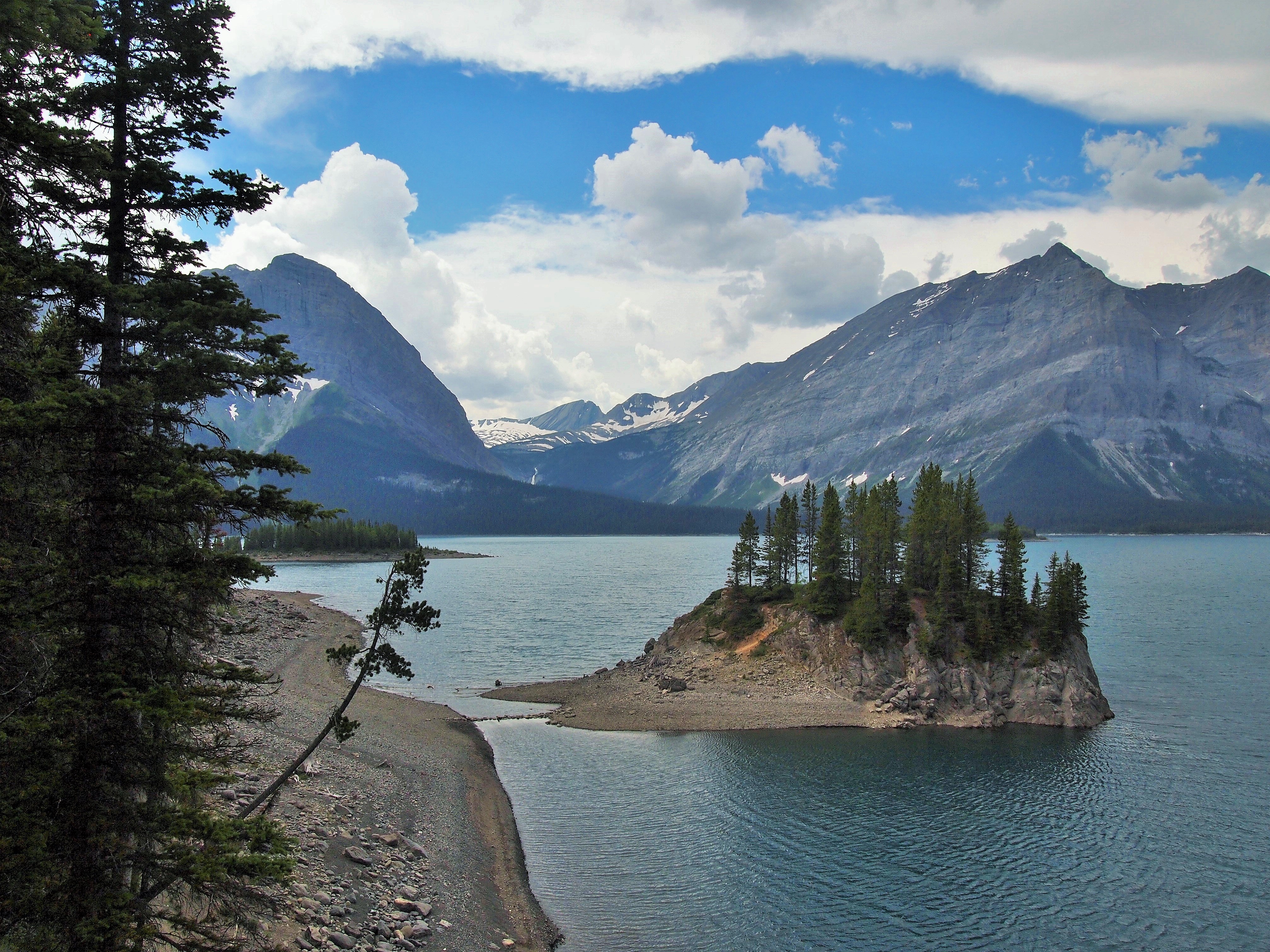
We were on the lake for an hour or so, turning around when the wind picked up. We were able to pack up well before the storm arrived though we watched as the clouds continued to build. We drove down to the Interlakes area where we had the perfect view of the impending storm. It hadn’t arrived yet though, so we decided to do part of the hike along Upper Kananaskis Lake. The whole hike is 9.8 miles, but we didn’t want to commit to that. We went a mile before turning around. The trail stayed along the water and provided stunning views. I took too many photos and none of them seem to capture the ardor I felt.
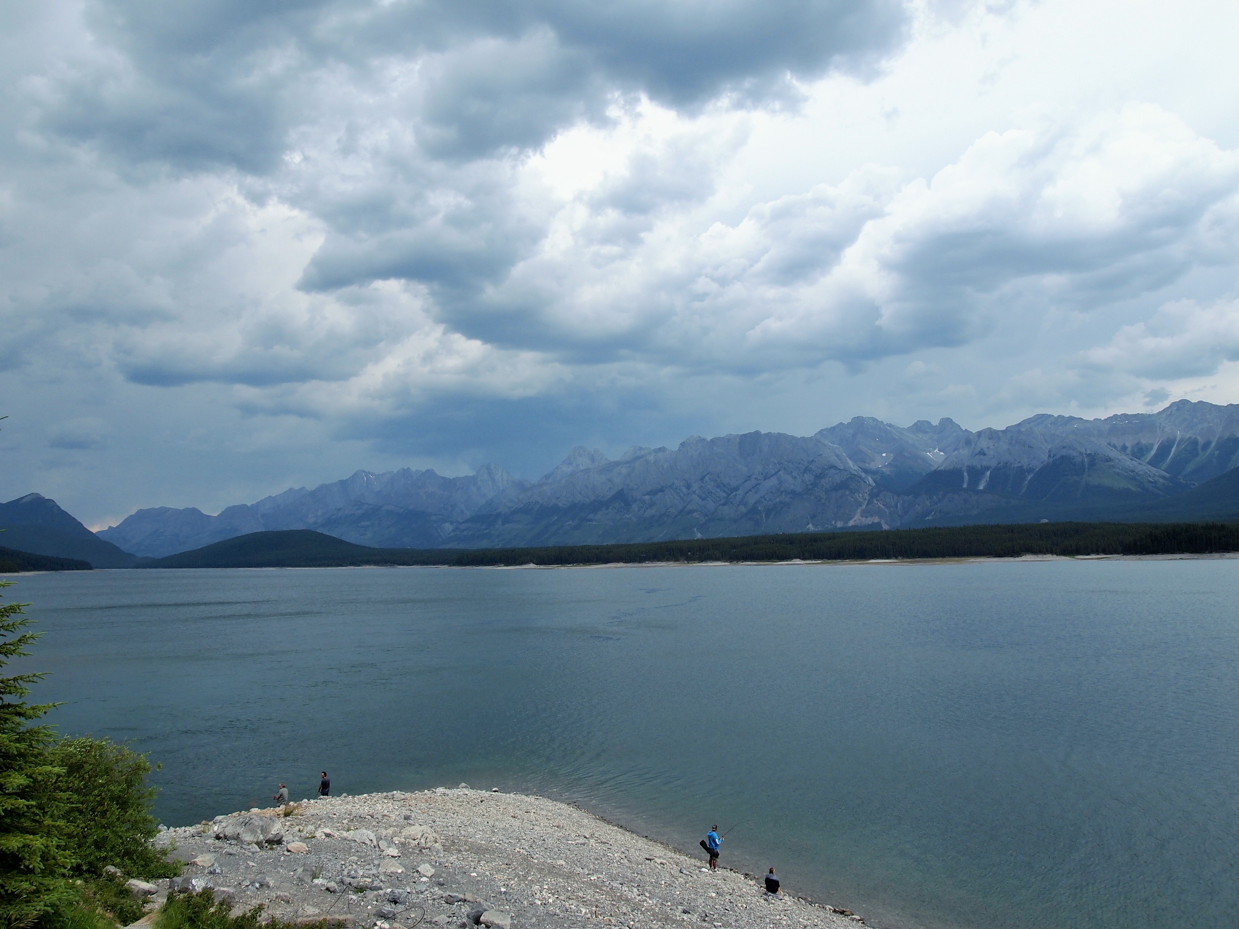
Dark skies out there
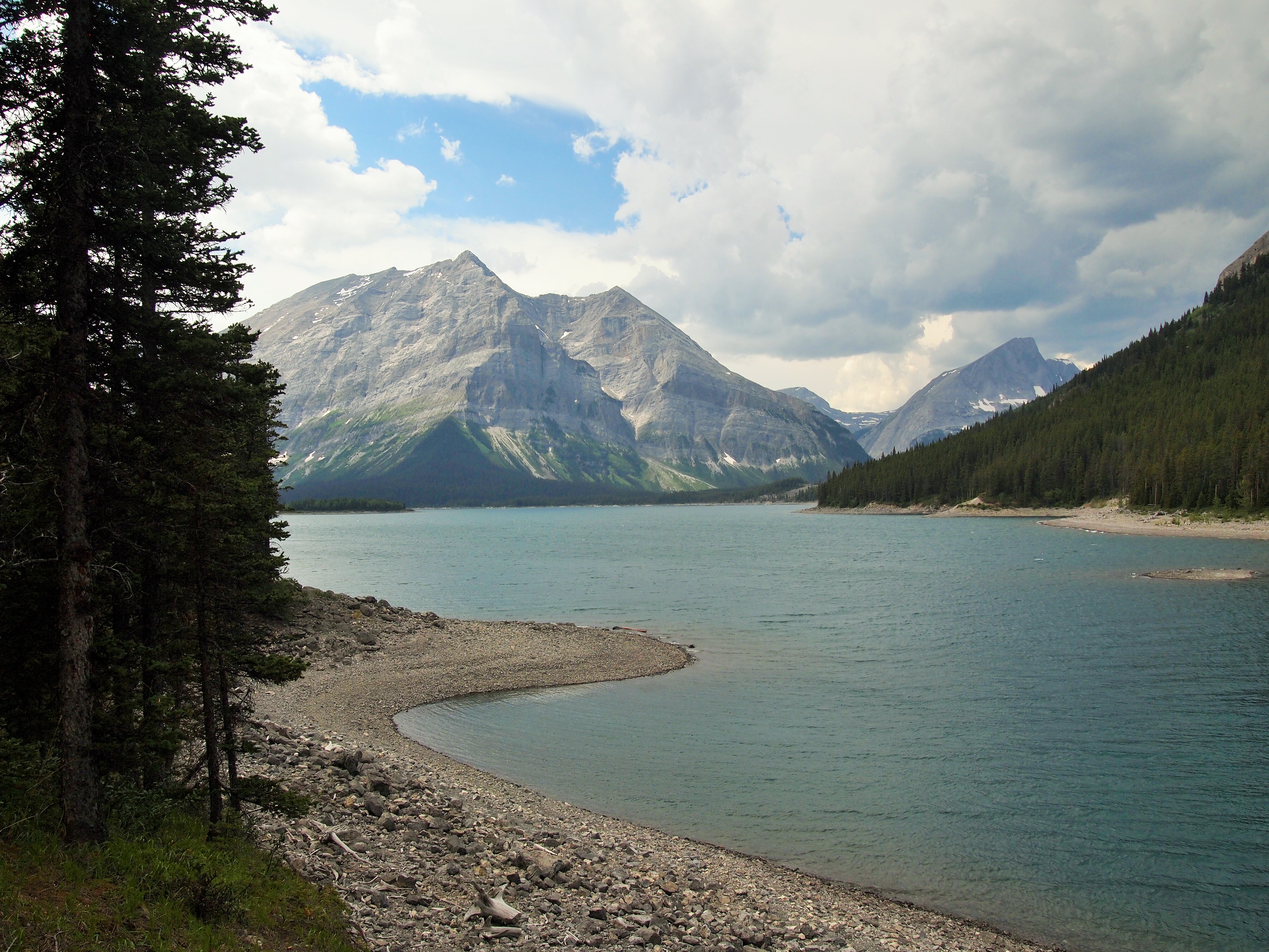
Starting out around Upper K-Lake
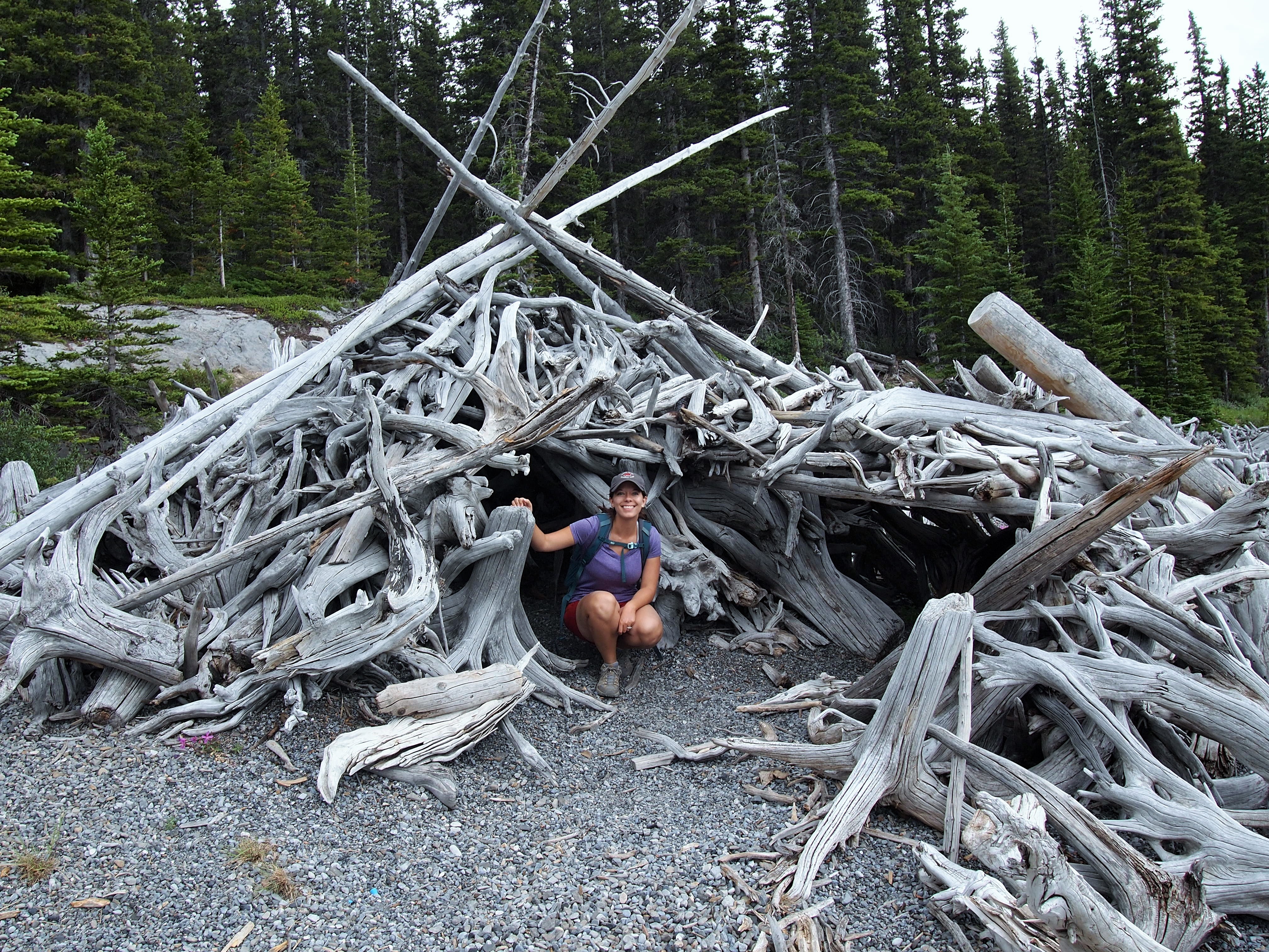
We found a driftwood fort
We heard intermittent thunder as we hiked along the Upper K-Lake Trail, but no rain fell. So, we decided we could squeeze in another little hike along the Canadian Mt. Everest Expedition Interpretive Trail. It was a nice forested trail which took us to an overview between the two lakes – Lower and Upper. The view wasn’t very clear, but it was pretty, and it was nice to remain slightly active even if the mosquitoes were determined to eat me alive.
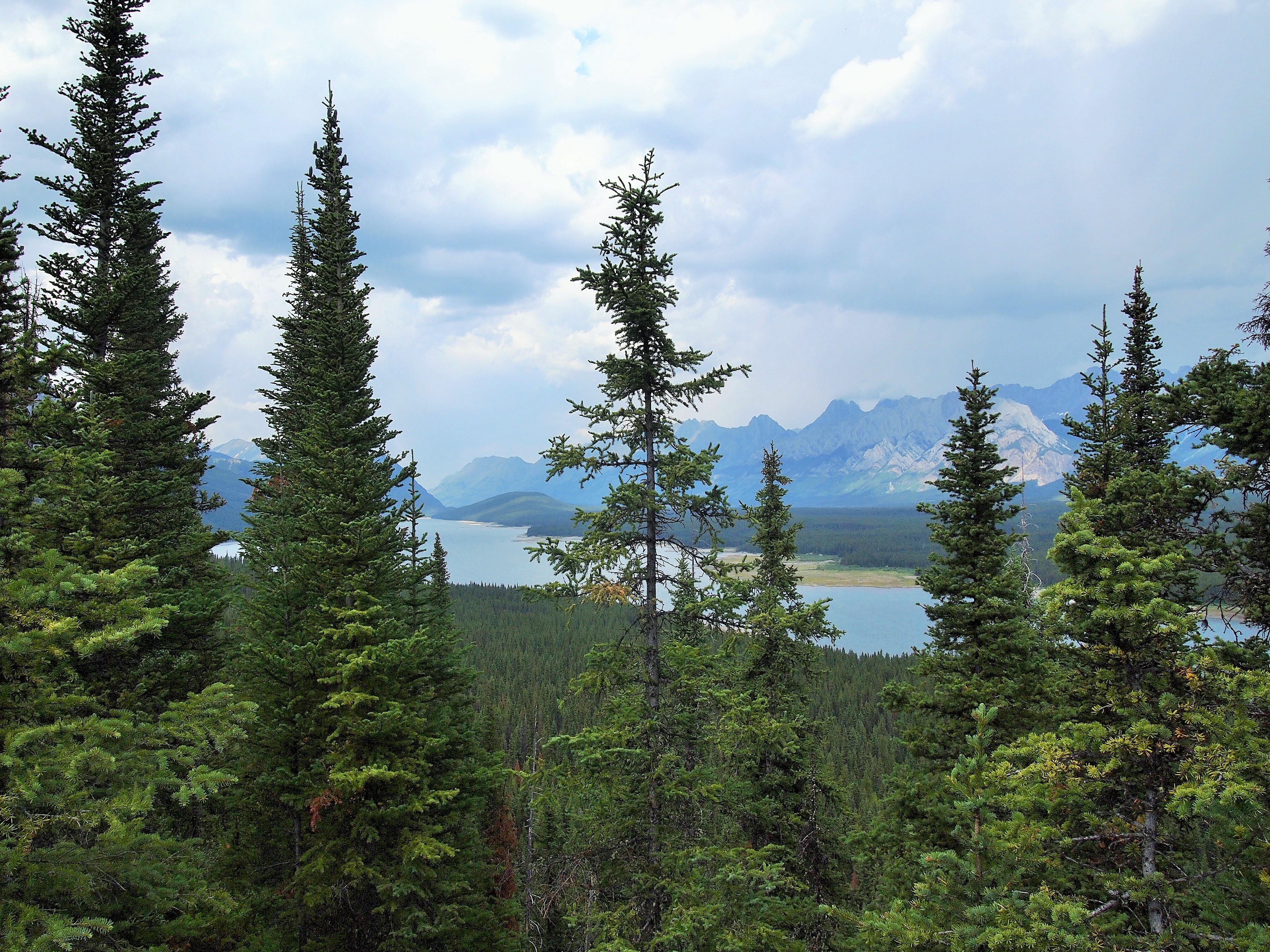
An obscured view
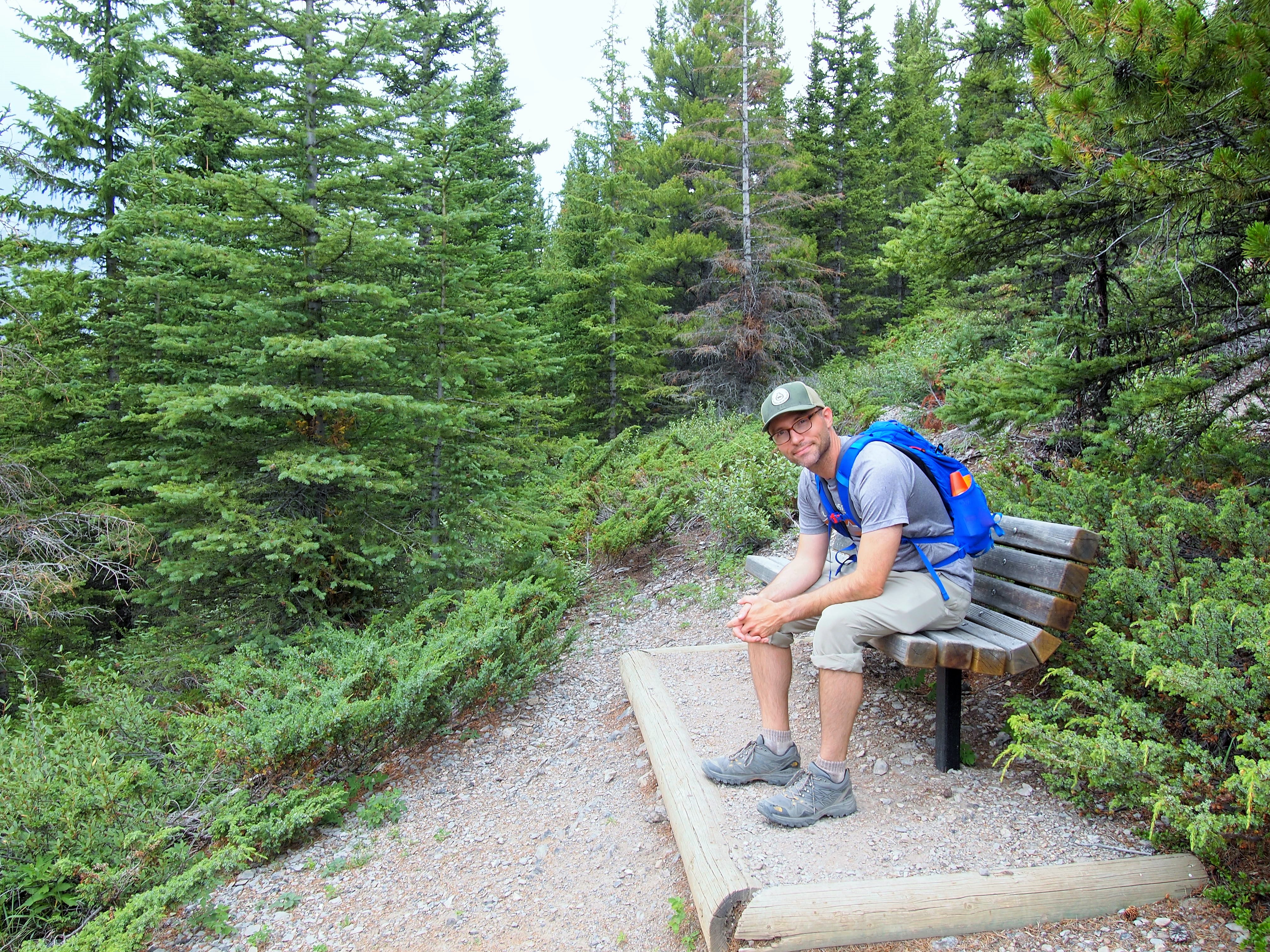
There were several benches along this trail
Upper K-Lake
When we reached the bottom, it finally began to rain. Since it wasn’t raining heavily, we decided to stop at the Boulton Creek Trading Post for some ice cream. As our cones were ready it began to pour – of course. We bolted for the car and miraculously our ice cream cones stayed intact! By the time we reached our campsite, the rain had subsided, but our hammock and chairs had fallen victim. We relaxed in our tent for a while, but as thunder approached, I thought we ought to put the tarp over the tent. In the middle of arranging the tarp, the rain arrived again and pounded us. We dashed to the car to wait it out.
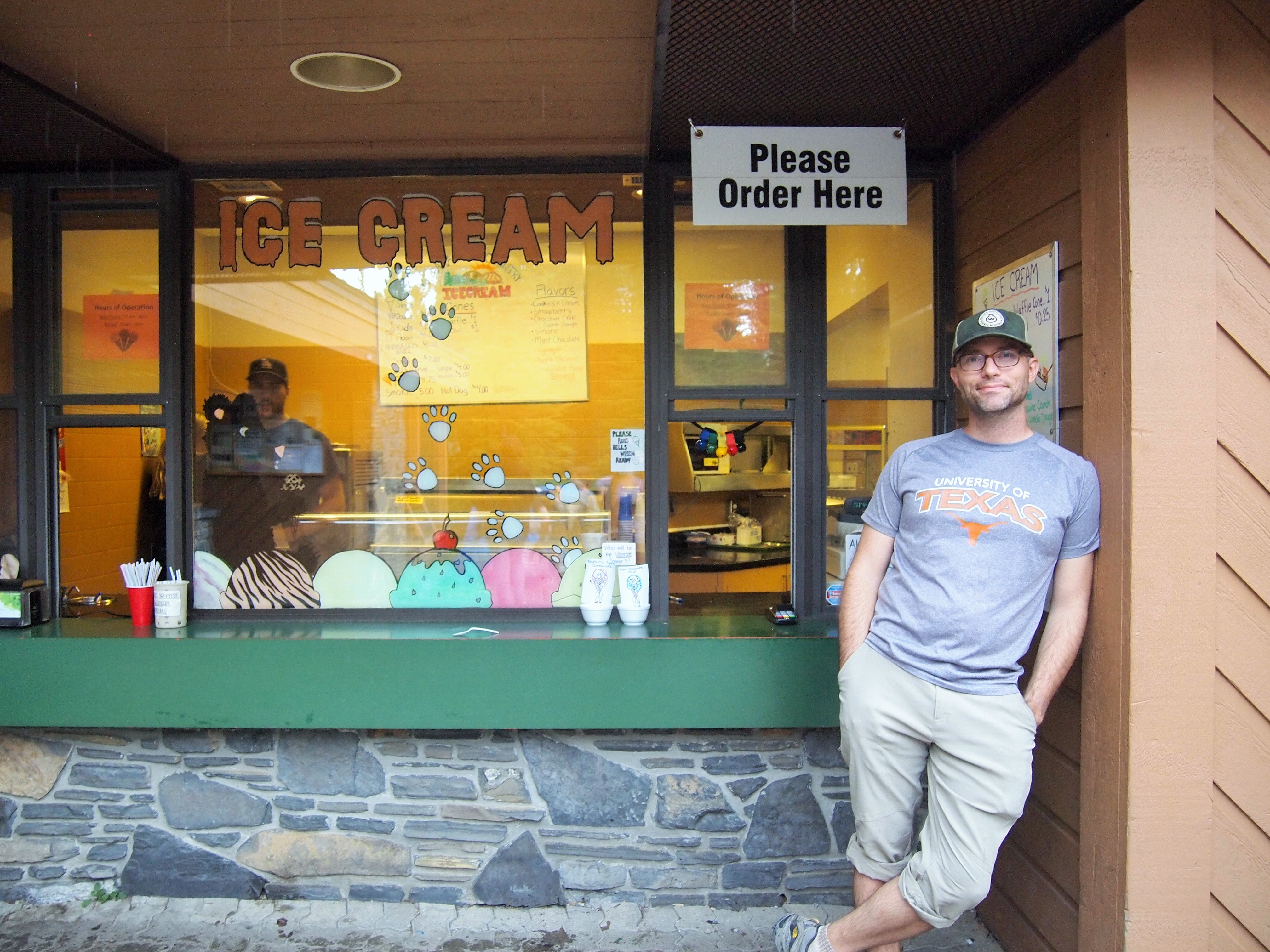
Ice cream stop!
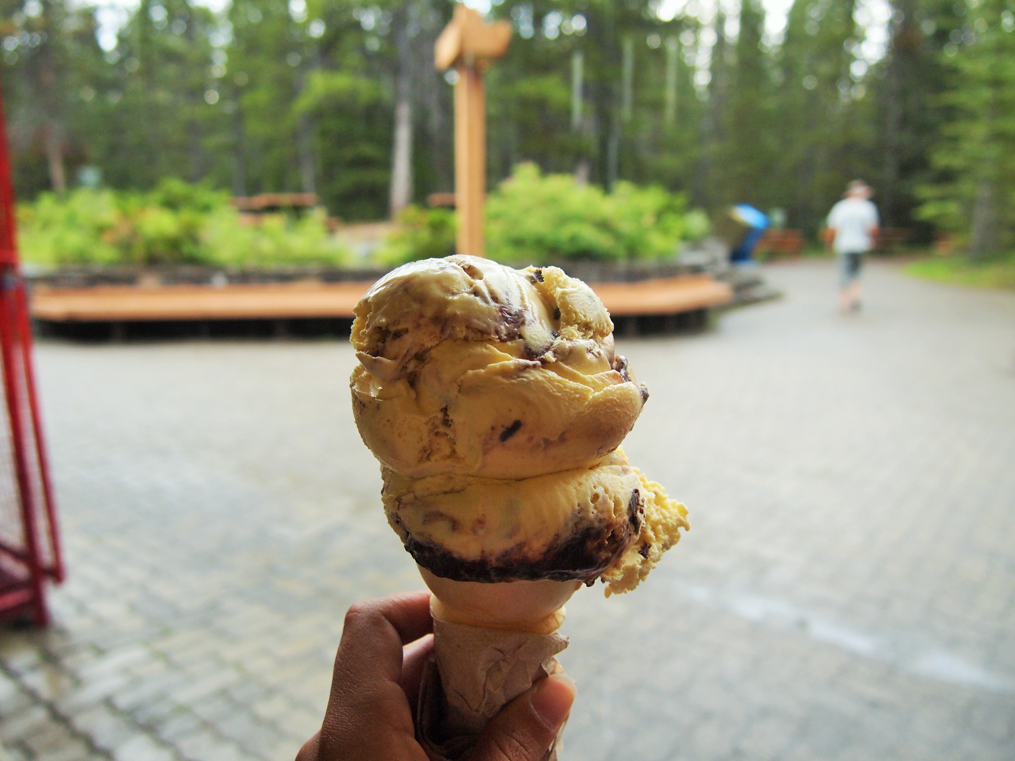
Nanaimo bar-flavored ice cream!
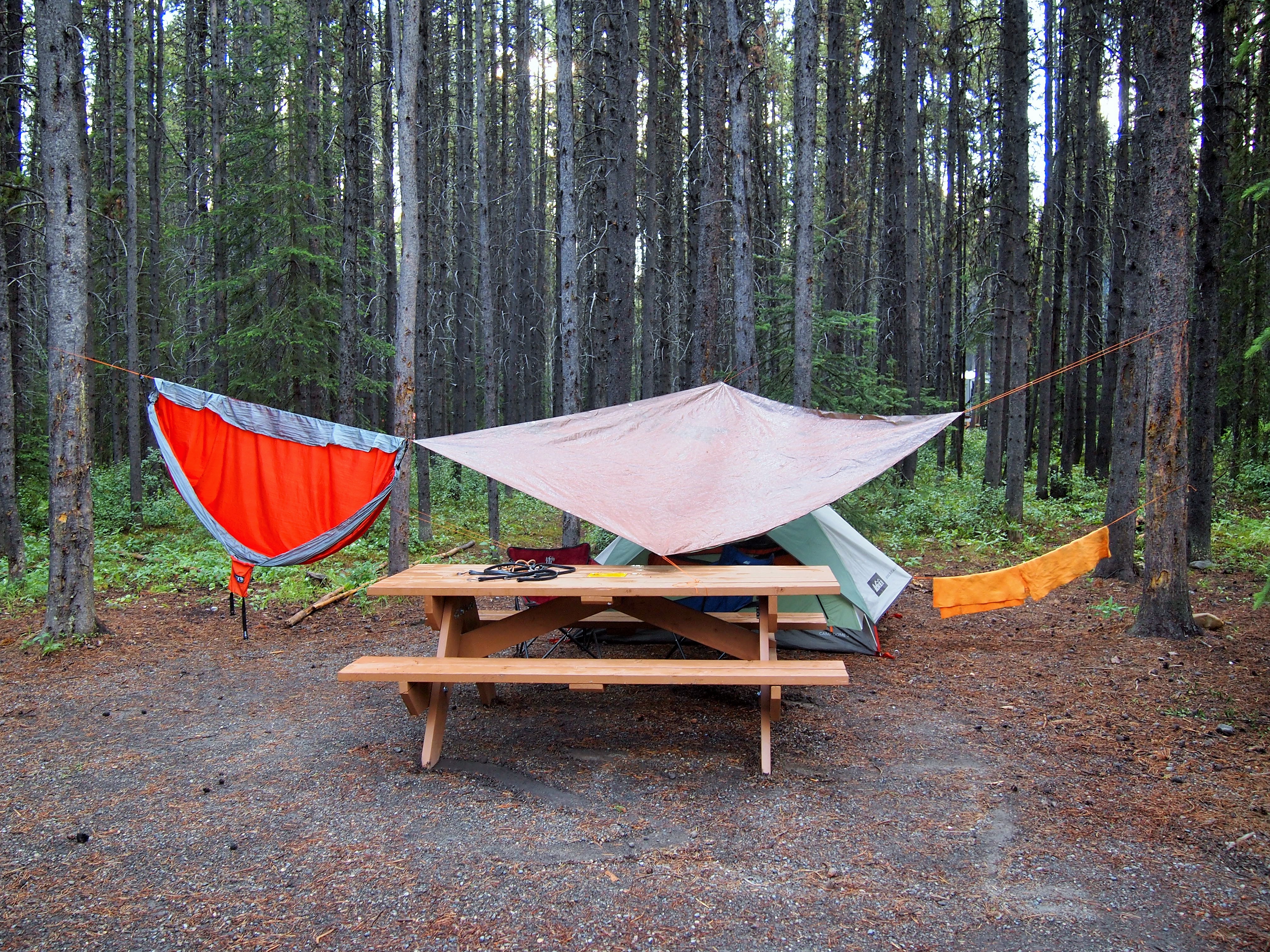
Eventually our campsite looked kind of sad
Luckily, after this second downpour, it was truly over for the night and our things could kind of dry out. We made dinner, took a walk to the amphitheater for a performance that was far too cheesy for us (I’ve Got Friends in Low Places was turned into a parody about trees in Kananaskis Country… try to figure that out), and enjoyed our last evening in K-Country. I wish we had been able to do more of the hikes in the area on this trip. There is just so much, and the rain cheated us a little bit. I would love to go back; I’ve already got a list of hikes!
Categories: Canada, North America

1 reply »