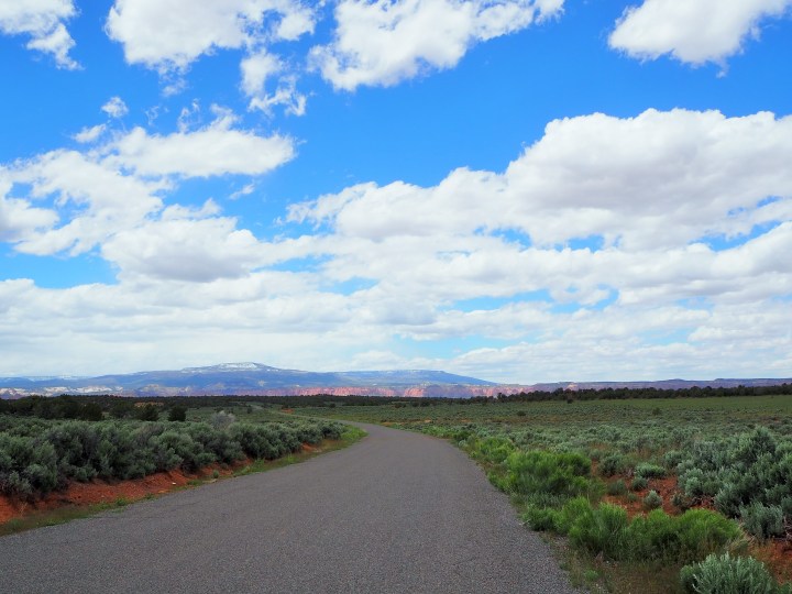
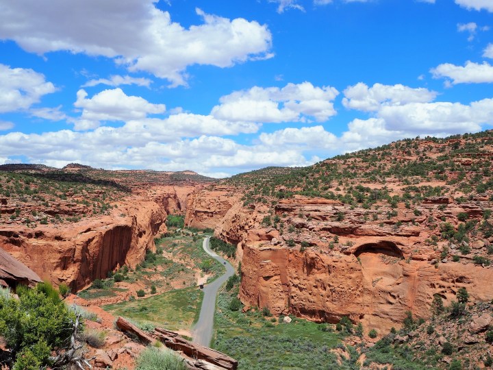
Once we left the park, the Burr Trail became a paved road and we entered Grand Staircase-Escalante NM. The incredible views weren’t over. The road crossed through open sagebrush ranges before coming up to the Circle Cliffs, going through the heart of Long Canyon, and finally reaching Boulder.
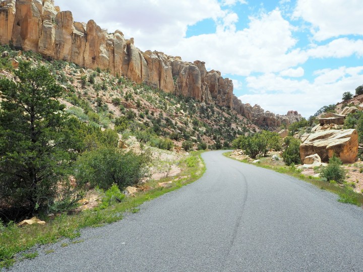
The Burr Trail was named after John Atlantic Burr. In the 1880s, he created the trail to move cattle between Boulder Mountain and Bullfrog Basin. Today it continues to connect the town of Boulder with Bullfrog, along with Capitol Reef NP and Glen Canyon Recreation Area. I relished the chance to travel to Boulder on a new route.
When we emerged in Boulder, we were hoping Hell’s Backbone Grill would be open, but we had just missed their lunch hours. Instead we recalled the food truck we’d eaten at before, Magnolia’s Street Food, which is parked in front of Anasazi State Park. Thankfully they were open. We had an incredibly satisfying lunch and hung out on the lawn of the state park.

Replenished, we set off for our final destination of the day, Escalante. We planned to camp off Hole-in-the-Rock Road, but needed to acquire a free overnight permit first. We went to the BLM Interagency Center at the edge of town where I got our permit, hiking recommendations, and the forecast – 90% chance of rain on Monday. Yikes. That forecast ruled out the slot canyons and any other hikes I had considered off Hole-in-the-Rock Rd. (Slot canyons = duh. Other hikes = the ranger told me the road turns to mush after considerable rain.) With that information, I decided we should set up camp and visit Devils Garden Outstanding Natural Area while the weather was nice.
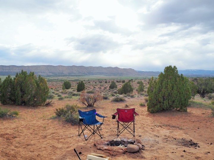

By the time we returned to our campsite, the wind had picked up considerably making it impossible with our simple fire ring to keep a flame going. We gave up and took shelter behind our car. It rained overnight – as the ranger told me it might – but not enough to trap us. By the time we got up, a cold wind was whipping through the area, presaging the storm we could see in the distance. We packed up our site and managed to beat the rain, but were a little at a loss for what to do with our day. In town, the temperature had fallen enough for dime-sized hail to fall.
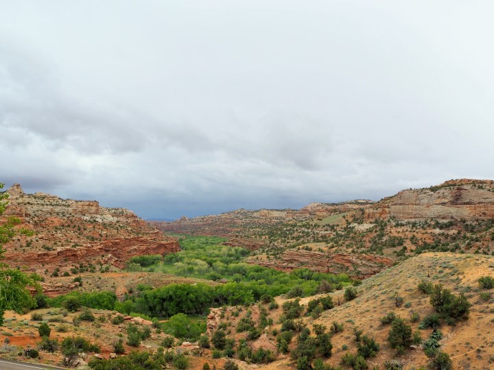
Our plan for the day was to hike 2.5 miles up the Escalante River. I figured it could be a decent rainy day hike. We opted to get some breakfast first and assess the weather afterward. We left Escalante and drove north toward Boulder stopping at Kiva Koffeehouse. The semi-circular building is built into the hillside and has a breathtaking view of the Escalante River Valley. We’ve wanted to stop here before but our timing never worked out. It wasn’t raining when we arrived, but that quickly changed. From our perch inside we watched the storm roll in accompanied by sheets of rain, rumbles of thunder, and lightning. We called off our hike.


We remained at Kiva until early afternoon. It was warm and cozy; the perfect place for a rainy day. We probably could have stayed longer, but I started to get antsy. I was hoping – naively – that leaving Escalante meant leaving the rain behind. I wanted to head toward Kodachrome Basin State Park, our final base camp. So, we set off. We stopped in Escalante for groceries and made our way down Hwy. 12.
Categories: North America, USA, Utah

2 replies »