October 20, 2014
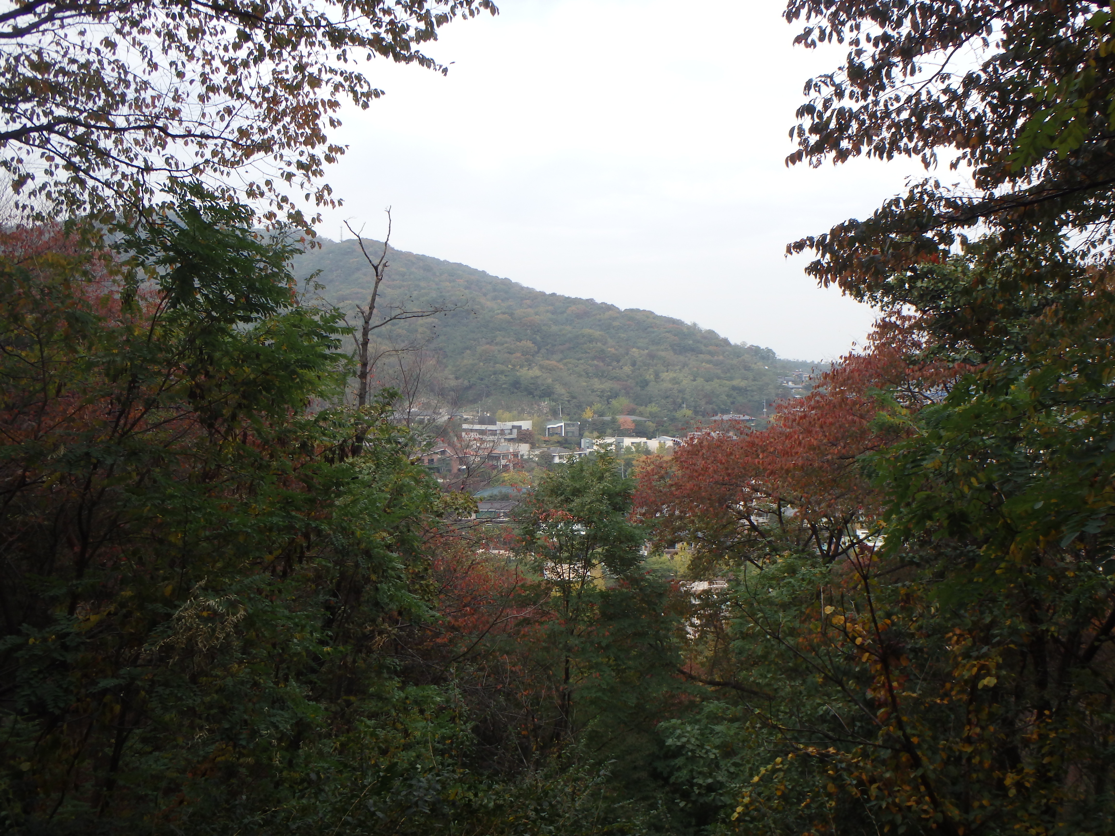
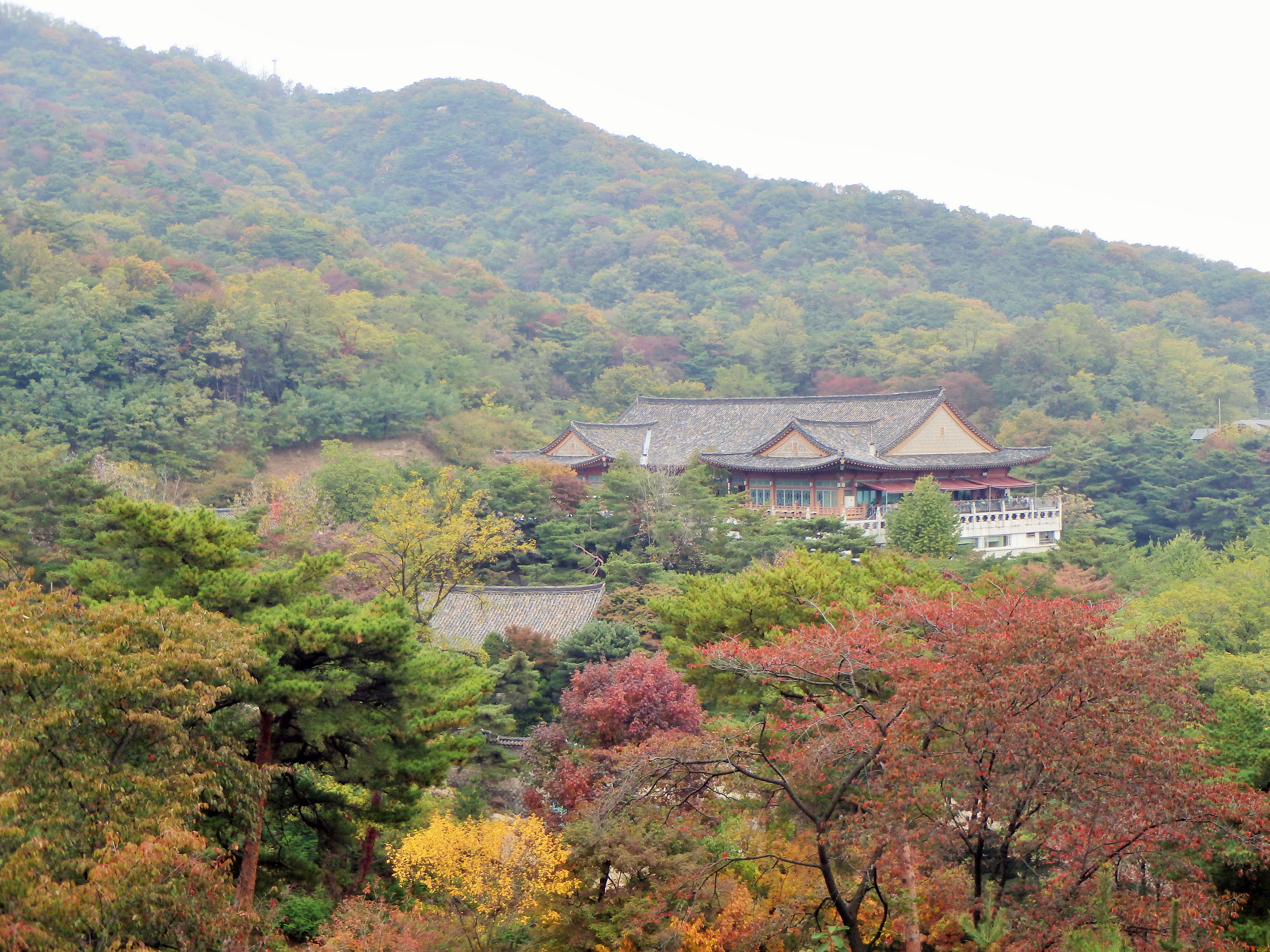
Yesterday we hiked along part of the Seoul Fortress Wall on Mt. Bugaksan (‘san’ is mountain so I will hence refer to it simply as Bugaksan). There are four mountains in Seoul that historically protected the city from invaders – Namsan (which we hiked up recently), Inwangsan, and Naksan. Bugaksan is the mountain to the north and was considered integral to the capital’s defense. Cheong Wa Dae, Korea’s presidential mansion called ‘The Blue House,’ and Gyeongbokgung lay below the mountain.
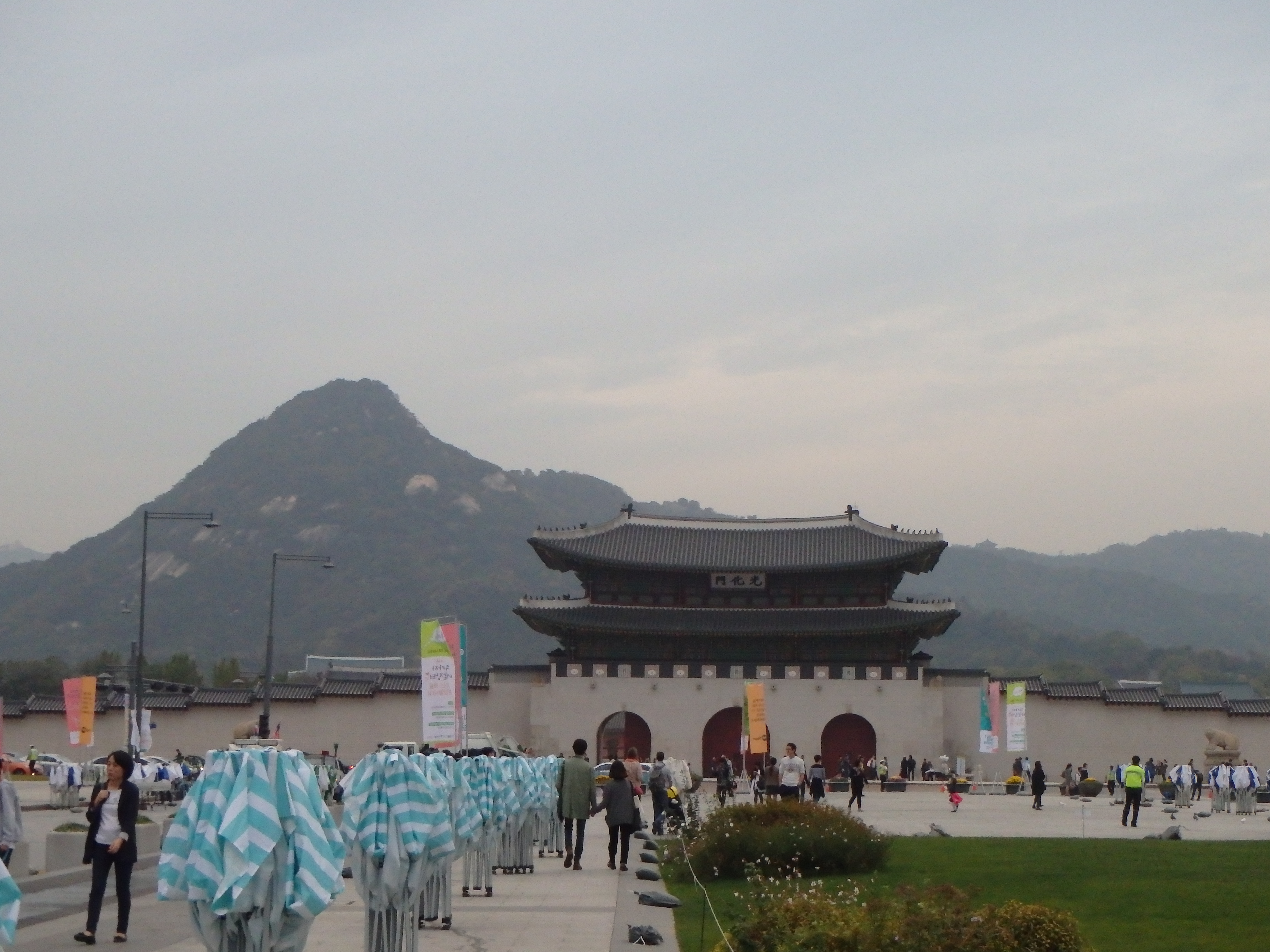
Gwanghwamun, the entrance to Gyeongbokgung, and Bugaksan in the background after our hike
In 1968, 31 North Korean commandos climbed up Bugaksan on their way to Cheong Wa Dae to kill South Korean president, Park Chung-hee. They posed as South Korean soldiers and weren’t discovered until they were 800m from The Blue House. The commandos eventually fled but the resulting fight and manhunt left 29 North Korean commandos, 68 South Koreans, and 3 US soldiers dead. Bugaksan was closed to the public after that and was only fairly recently re-opened to the public in 2006.
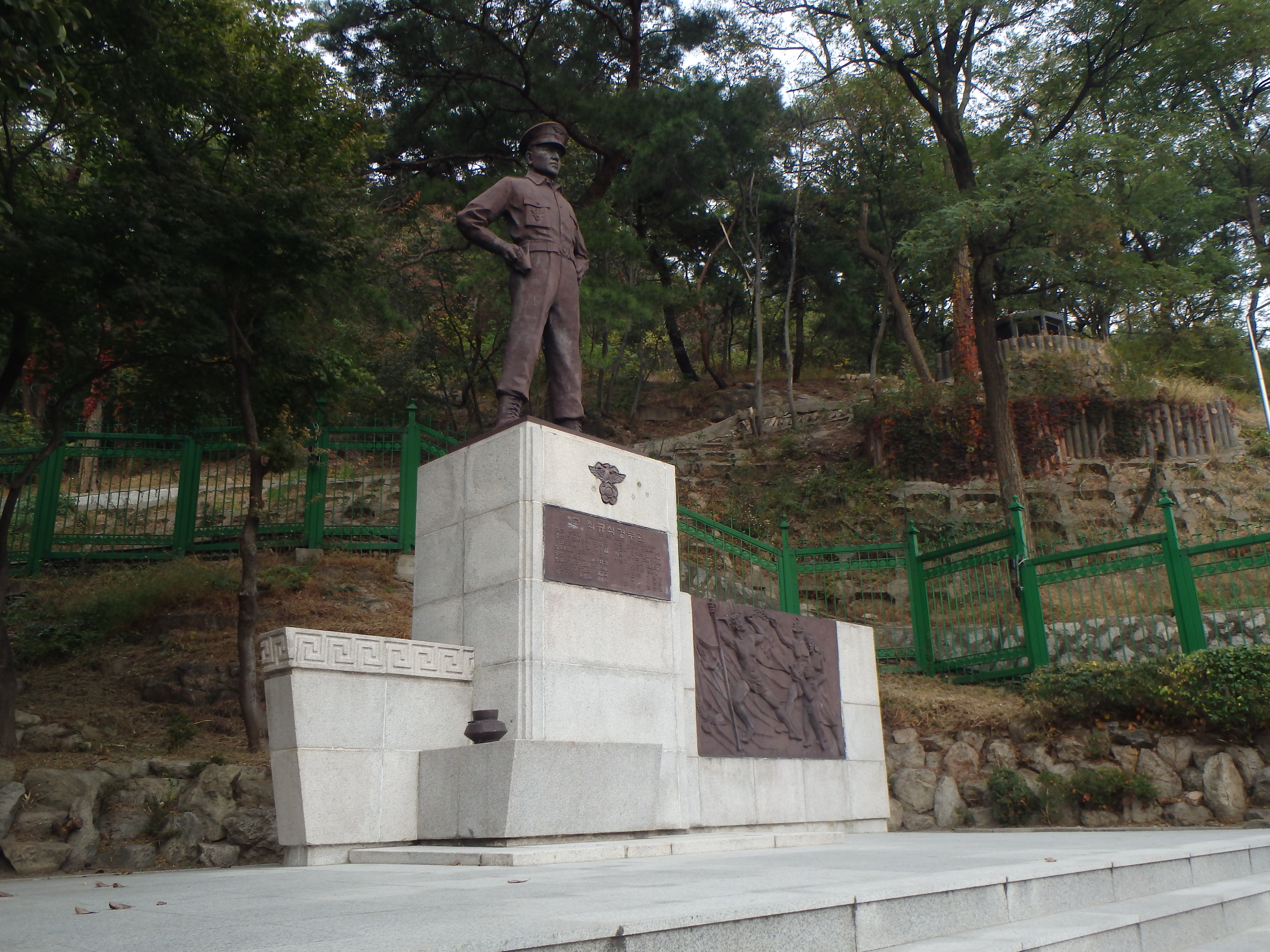
This is a statue Choi Gyu Sik, a police chief who was mortally wounded during the firefight. He is credited with stopping the commandos before they got to The Blue House
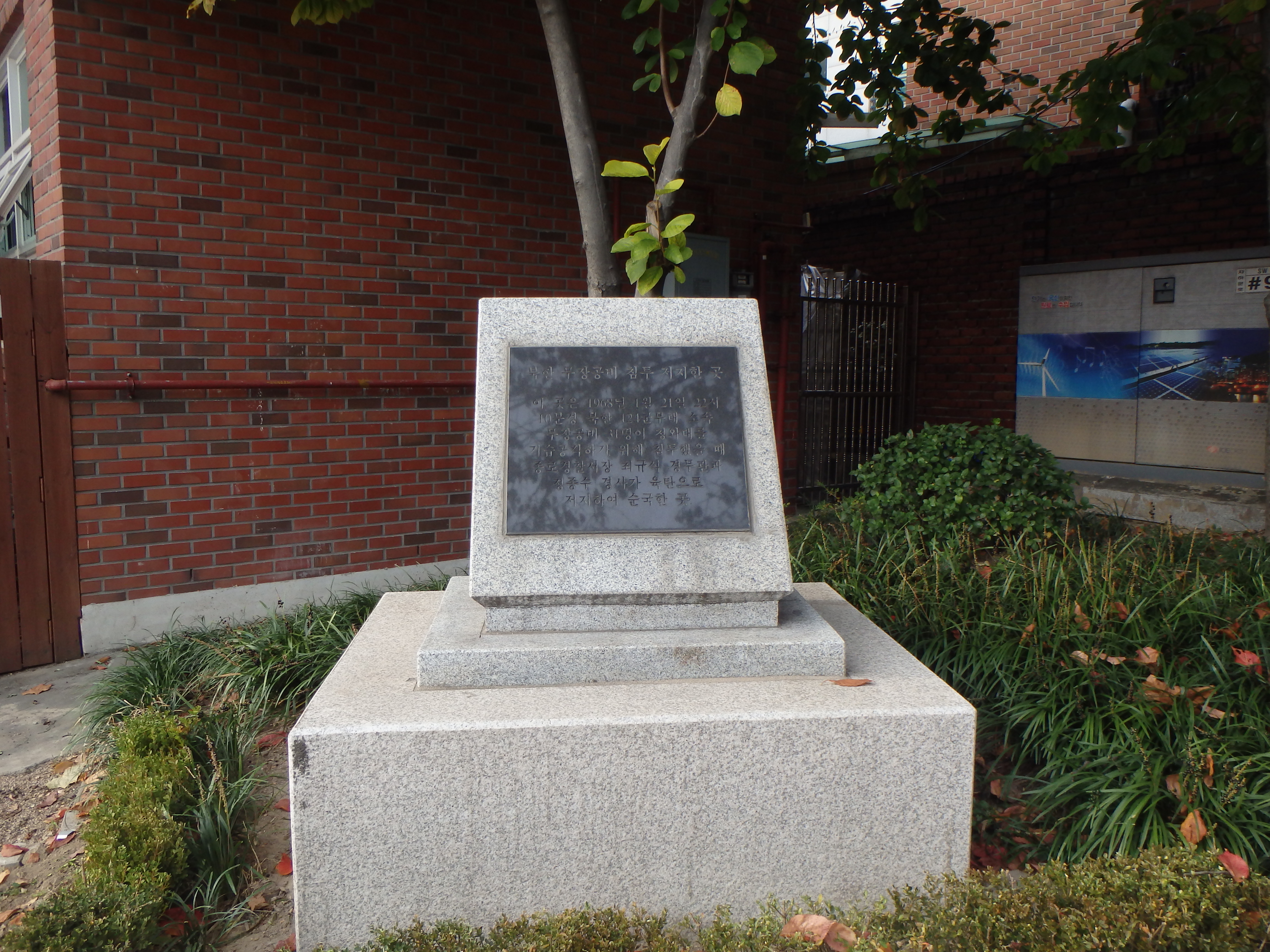
This is where he actually died
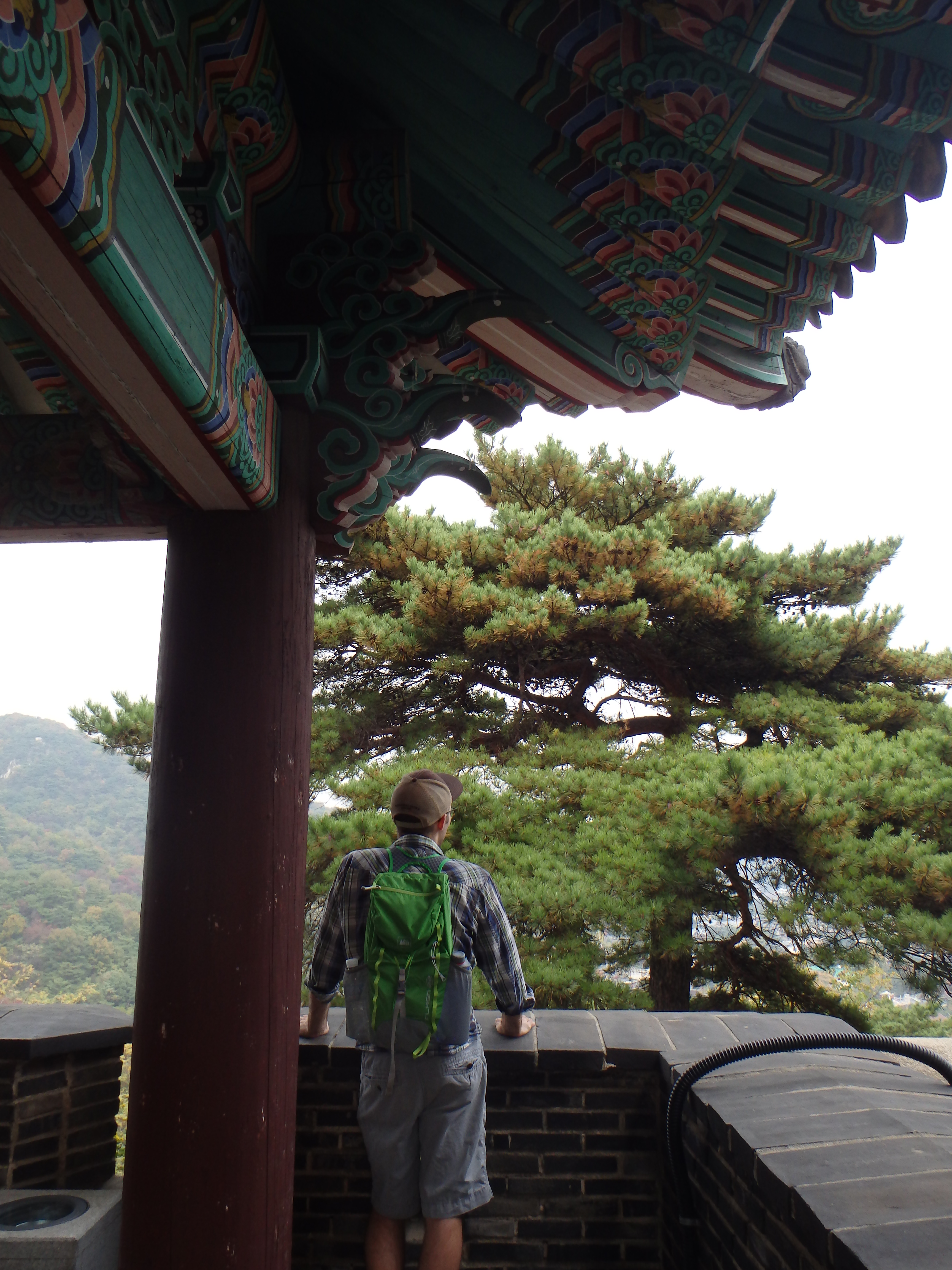
Due to that incident, there are certain parts of the trail that are secure and require you to sign in. Once in the secure area you cannot take many photos so unfortunately you’ll have to imagine the views. It was a gorgeous day but the sky was quite hazy so my photos wouldn’t have been that great anyway. We started out at Waryong Park and made our way up to Sukjeongmun Info Center to check-in.
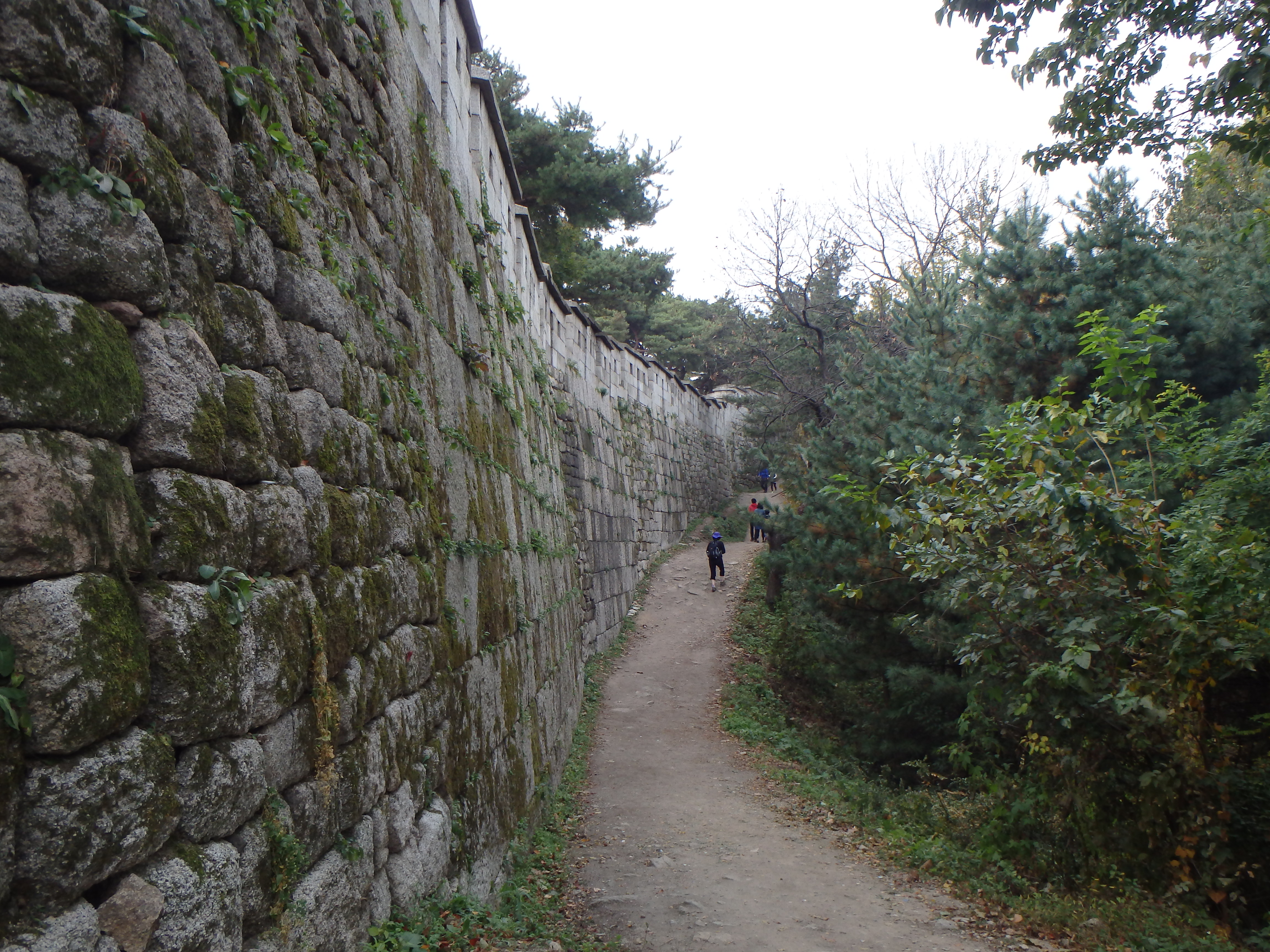
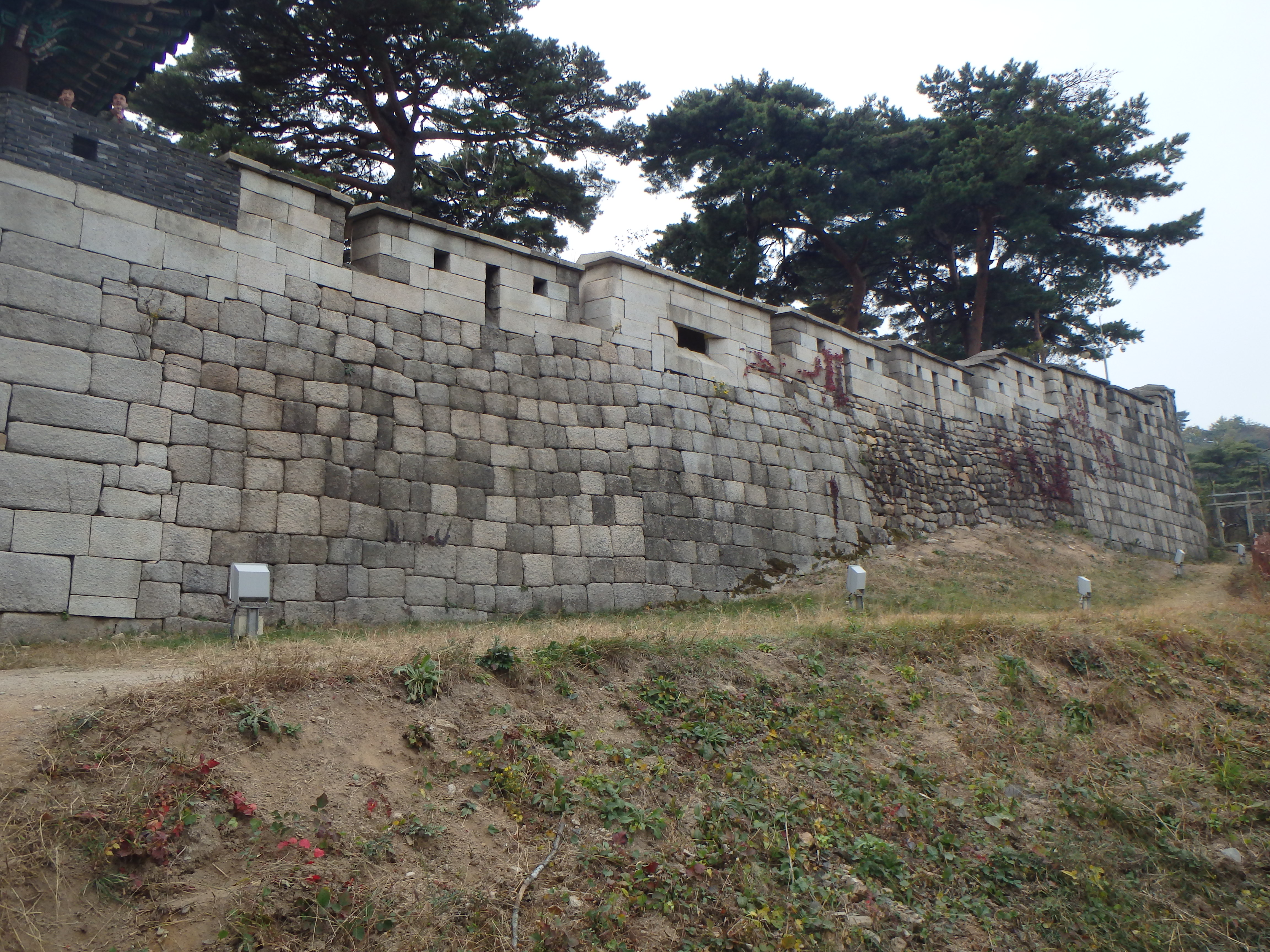
Beginning the hike – most of the Fortress Wall that remains was constructed during the reigns of King Taejo (1396), King Sejong (1422), and King Sukjong (1704)
Work on the Fortress Wall began in 1396 soon after Seoul (then called Hanyang) was designated as the capital of the new Joseon Kingdom.
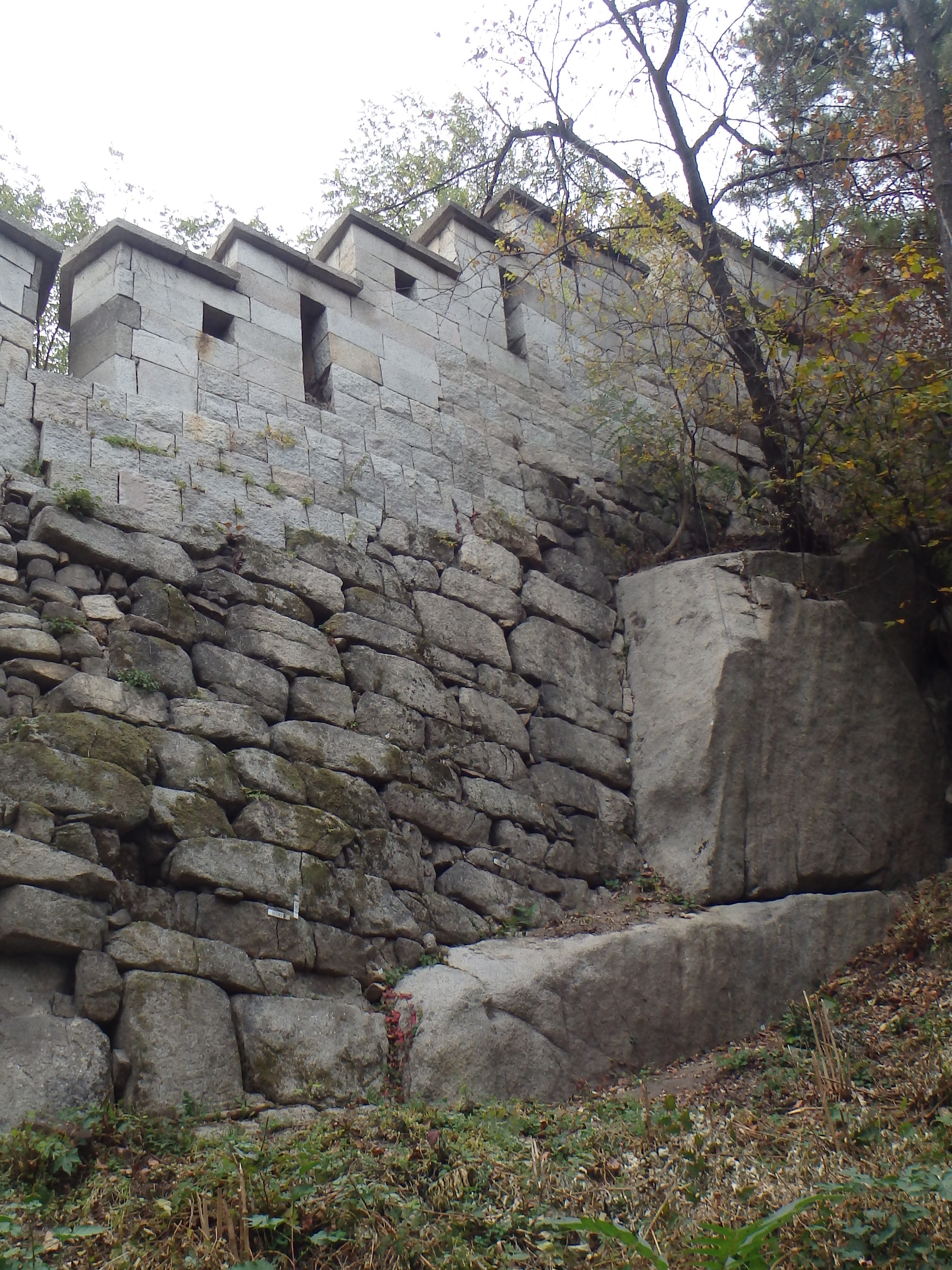
Rectangular boulders with gaps filled by smaller stones are characteristic of the repairs made during King Sejong’s reign.
Small brick-sized boulders characterize the wall that was built in 1396
Larger, more standardized boulders characterize the repairs made during King Sukjong’s reign. Each boulder required 4 workers to carry it
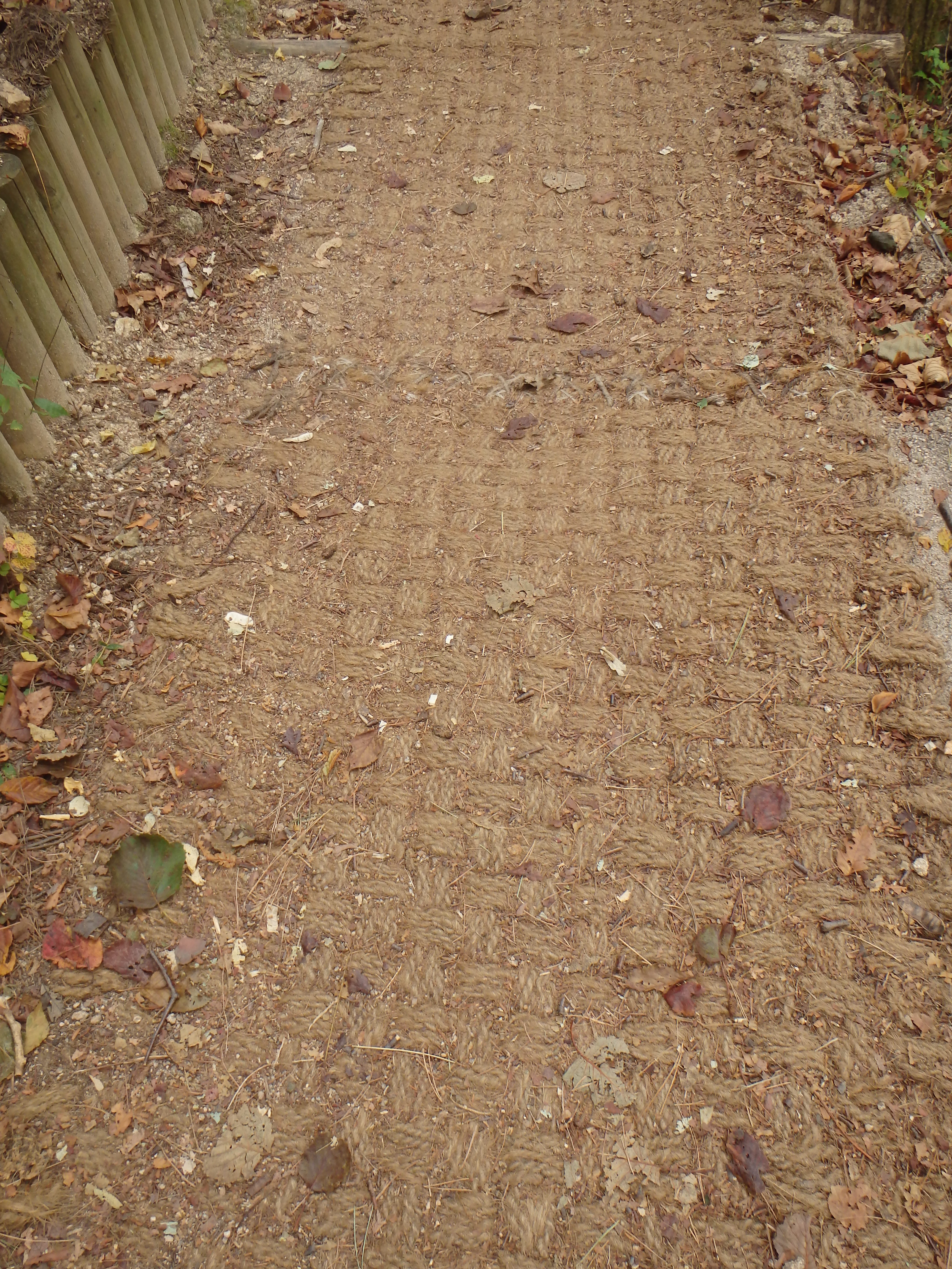
The trail became rope?
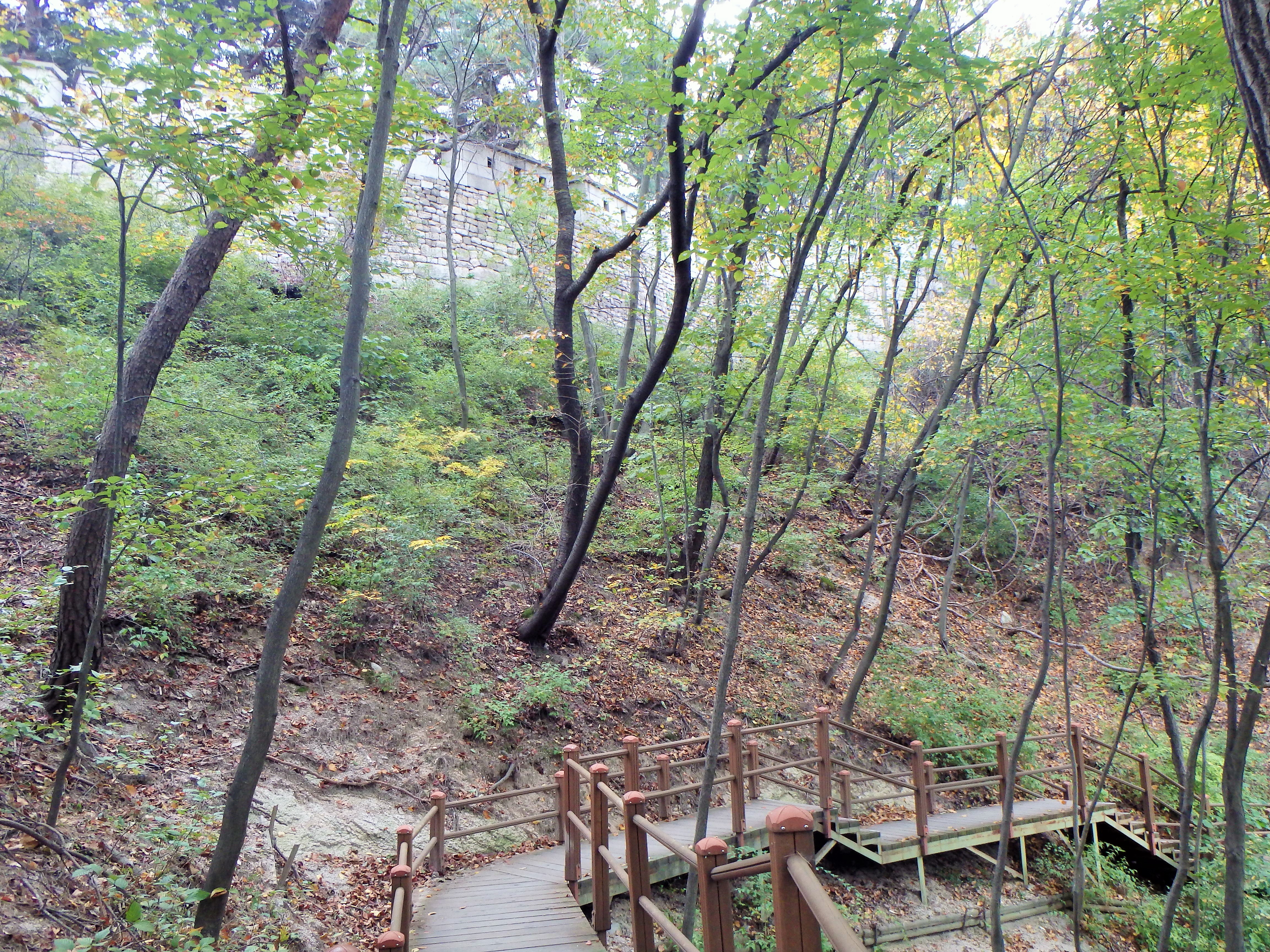
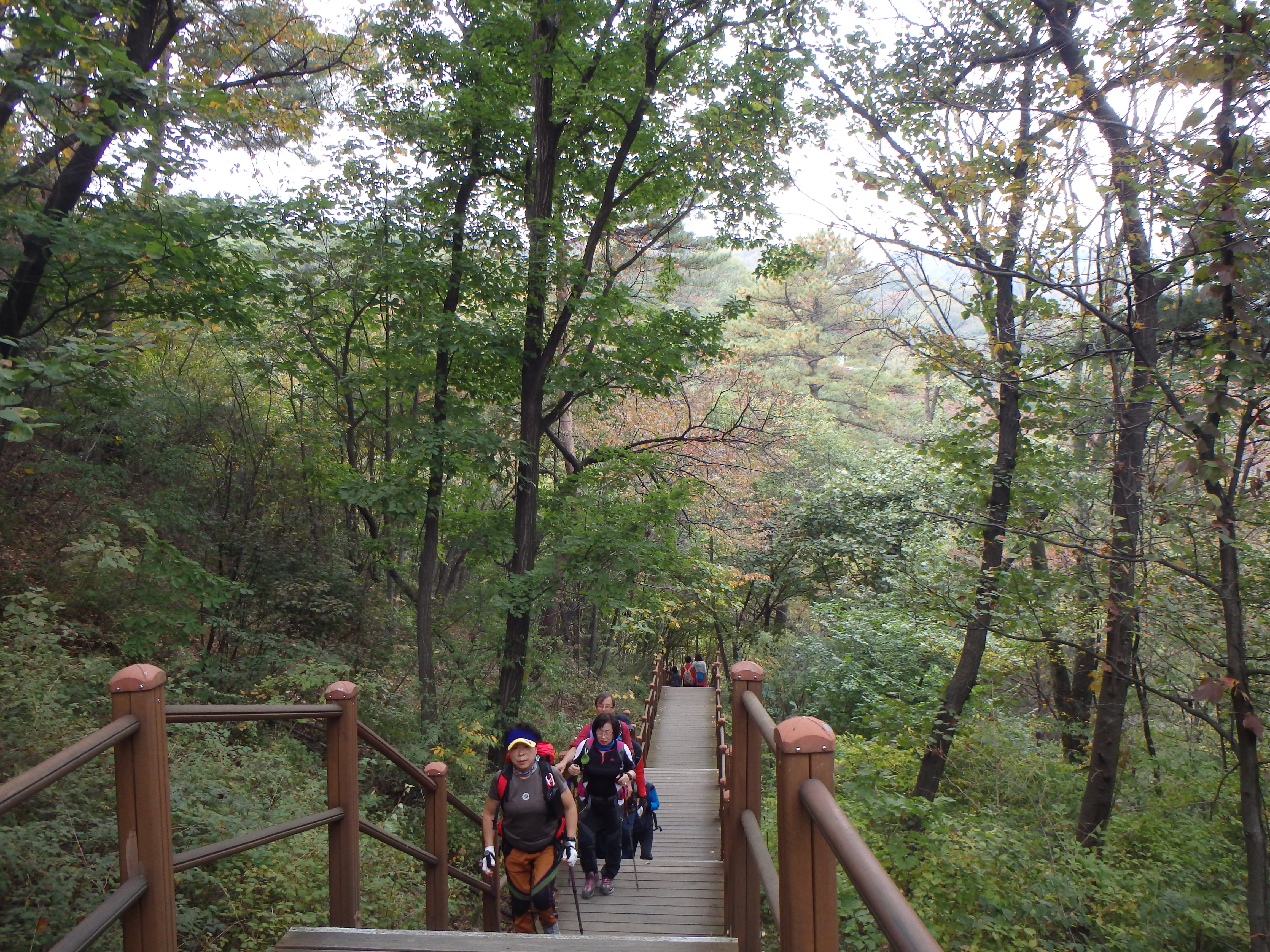
A lot of the trail was actually like this, not quite what we were hoping for
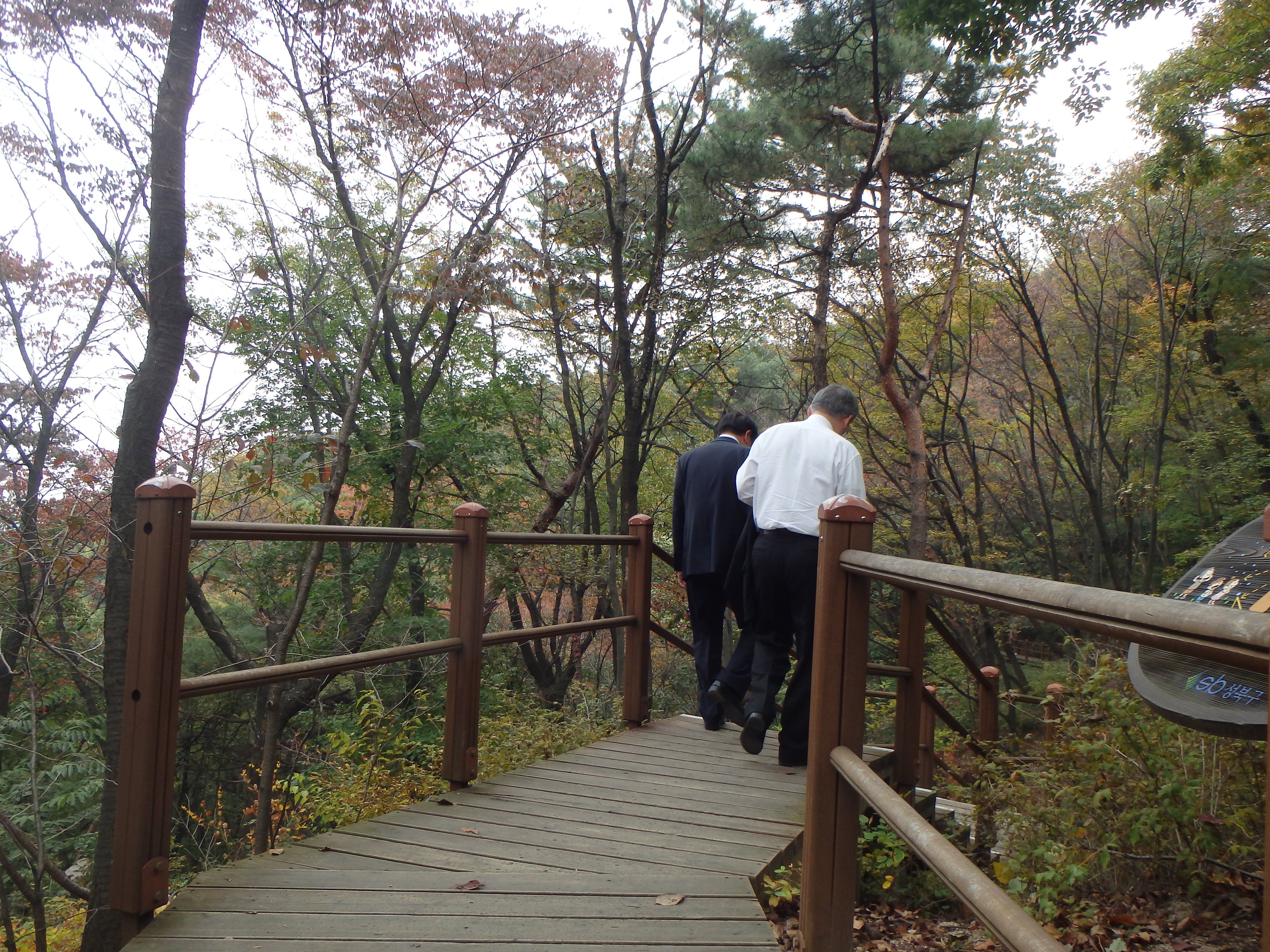
These guys were hiking in suits!
A LOT of older Koreans deck themselves out in hiking gear that is a little unnecessary
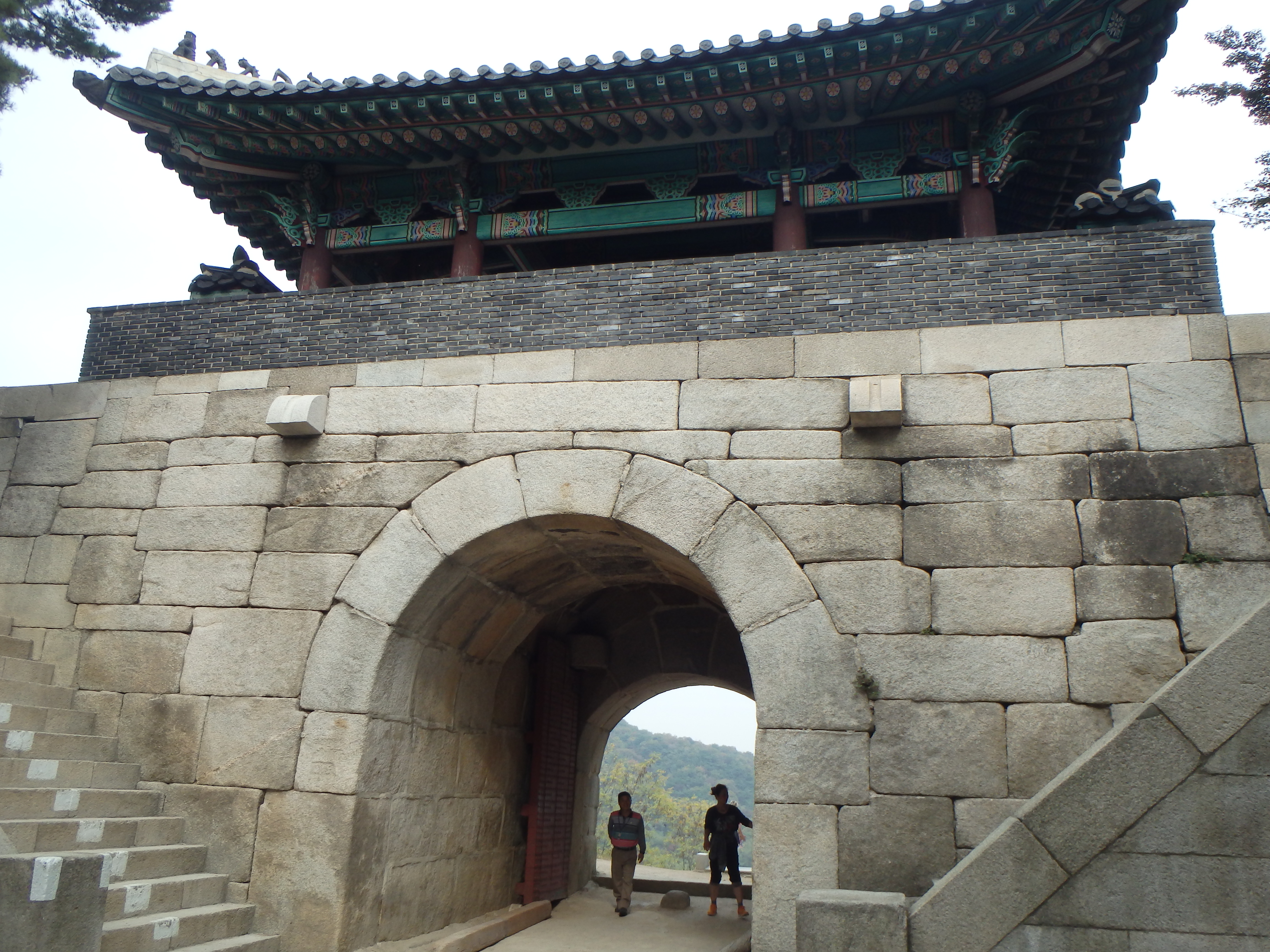
 After we signed in, we were given badges that we had to wear for the duration of our hike. Then we climbed up a never-ending flight of stairs until we reached Sukjeongmun – one of Seoul’s northern gates. Sukjeongmun was rarely opened unless the country was in a drought. Under the principles of yin-yang (north represents yin and south represents yang) yin also represents water, so in times of drought the gate was opened.
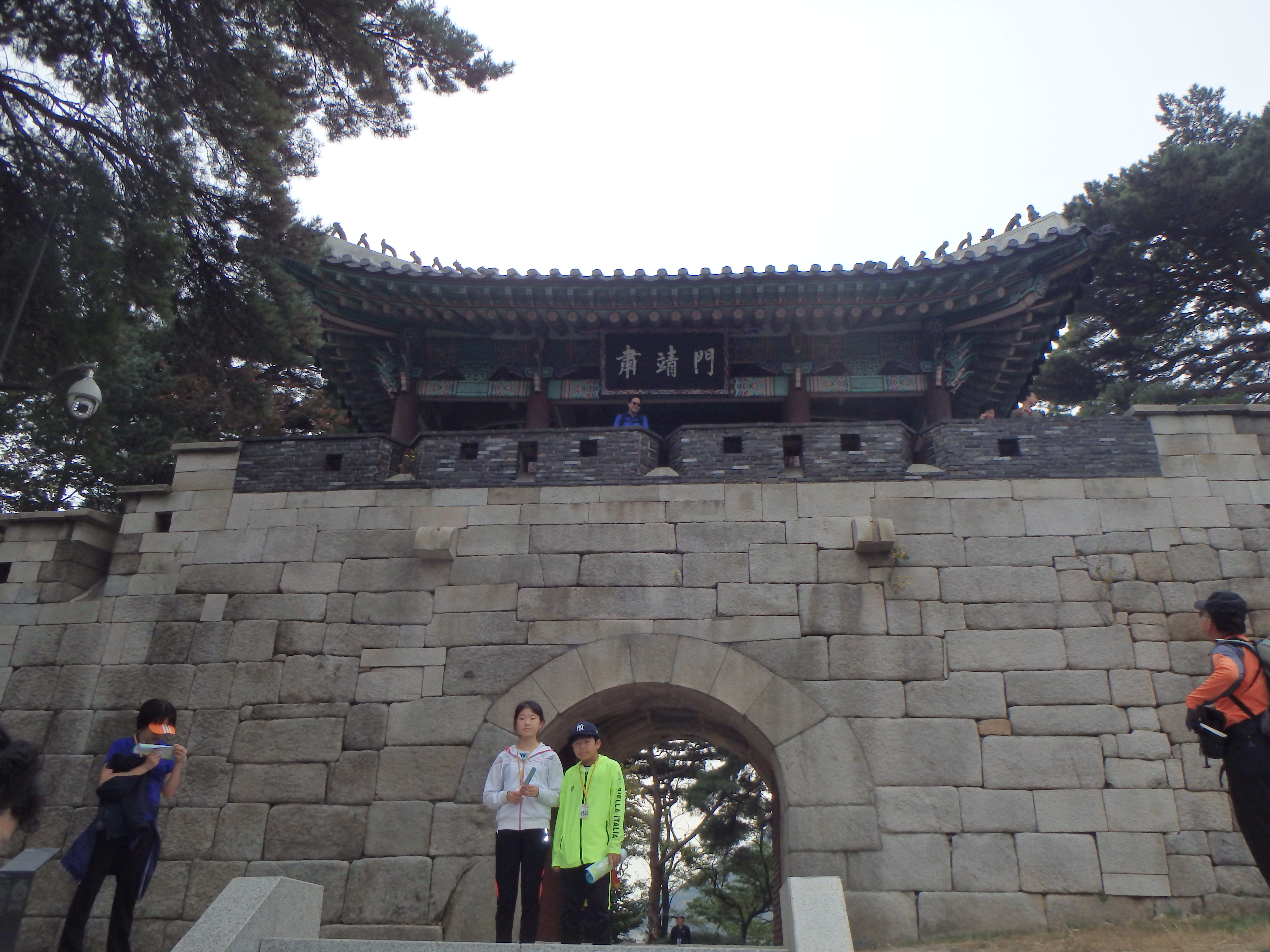
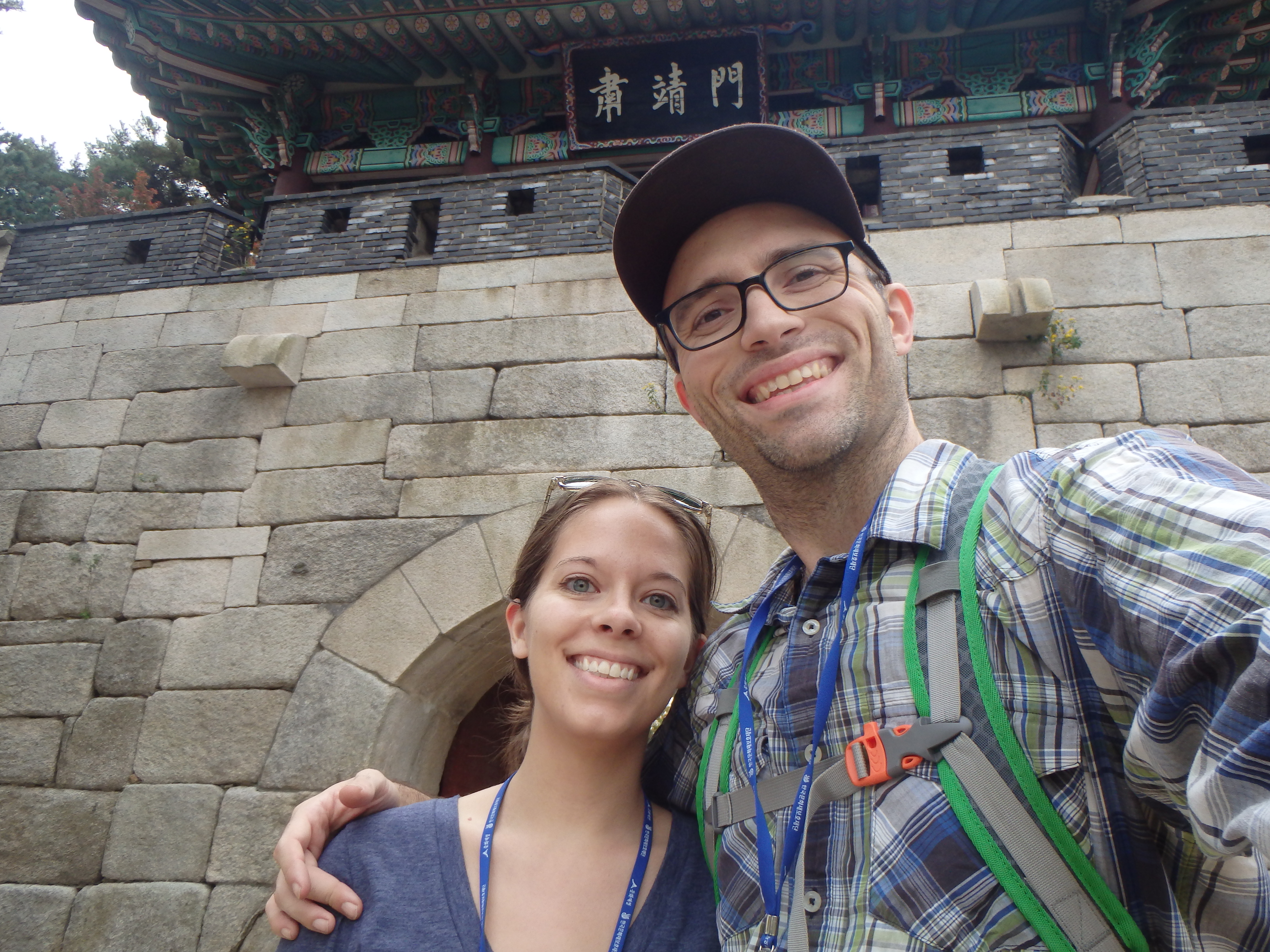
Entering Sukjeongmun
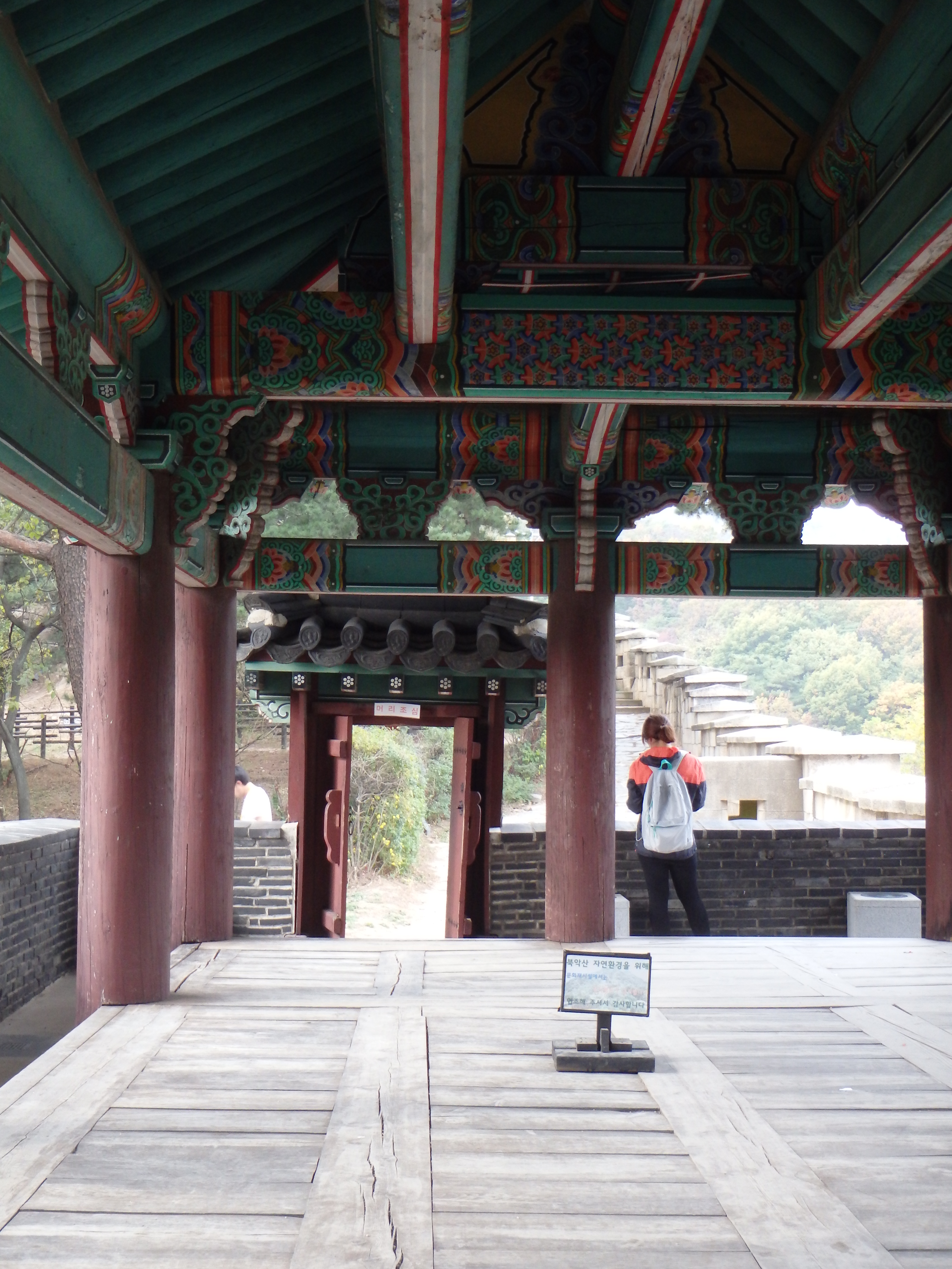
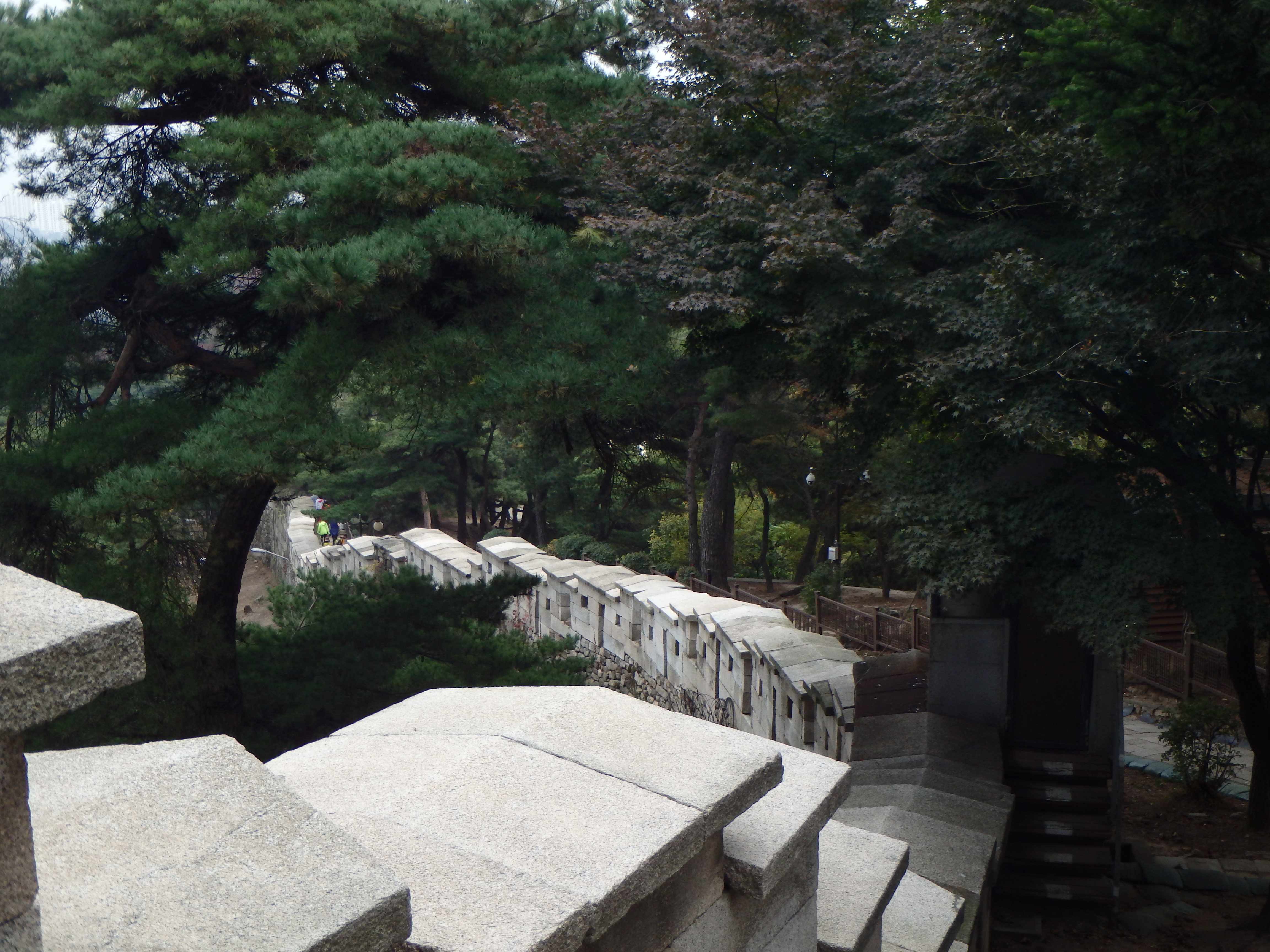
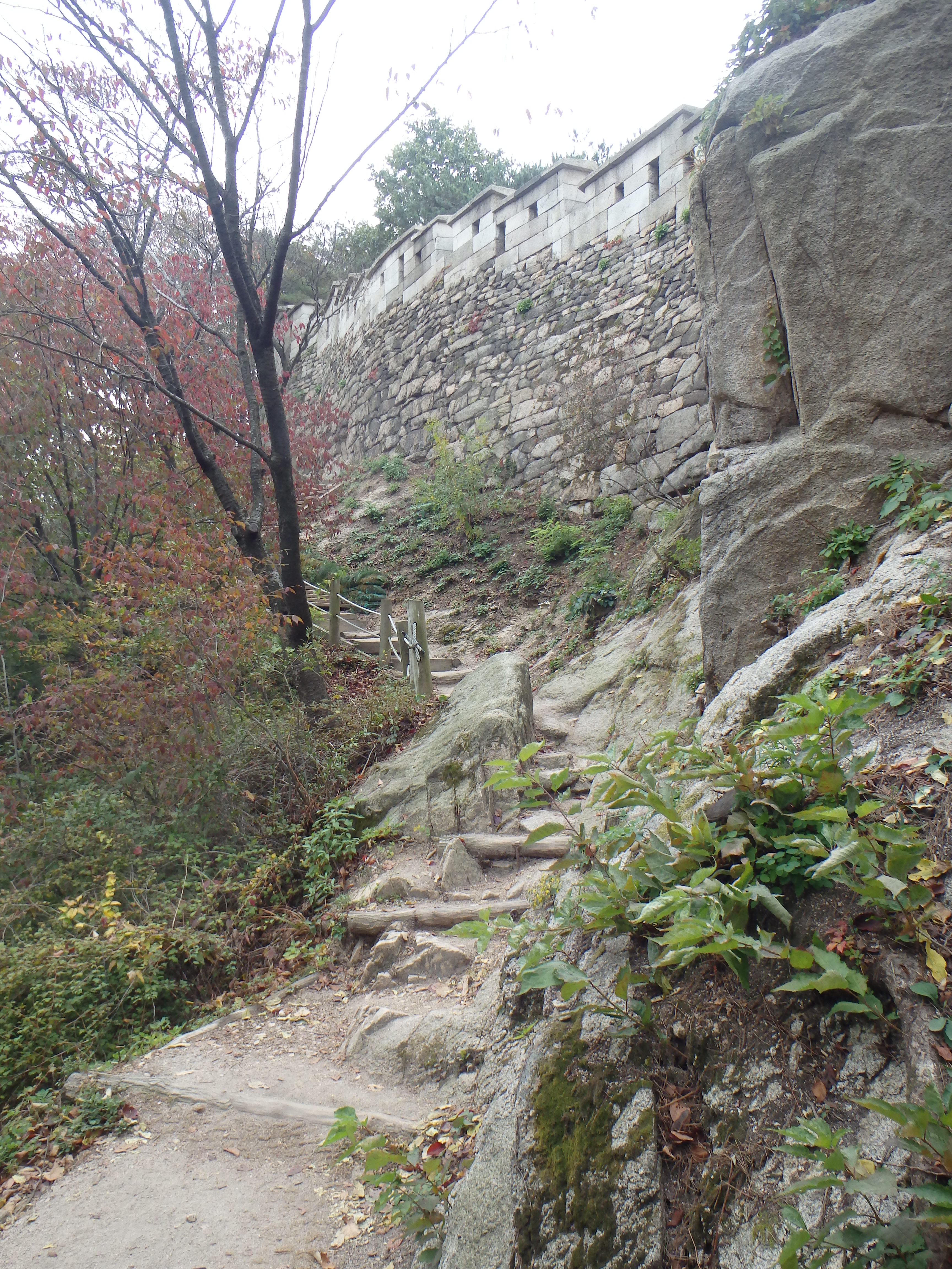
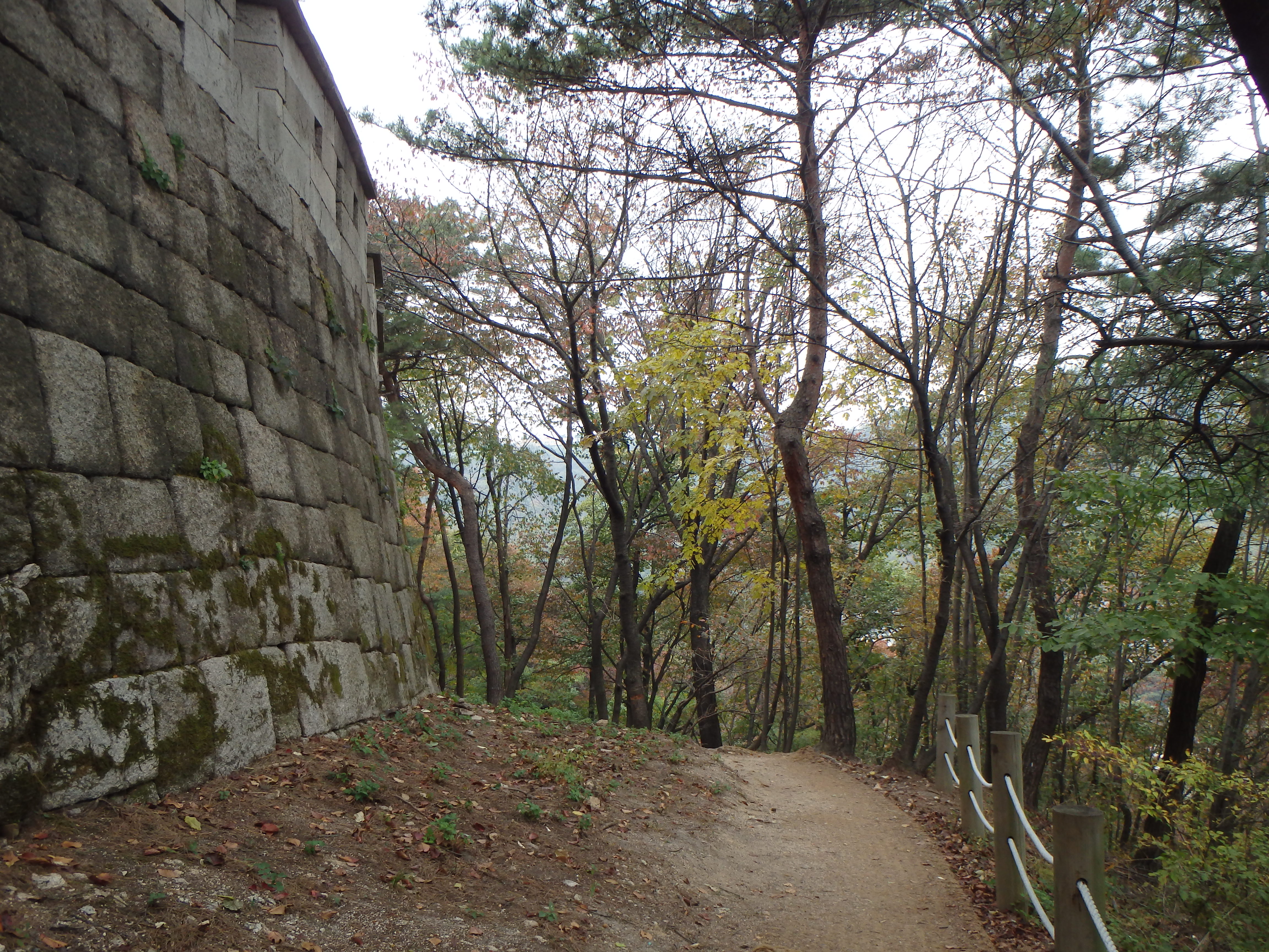
Fortress Wall
On the other side of the wall
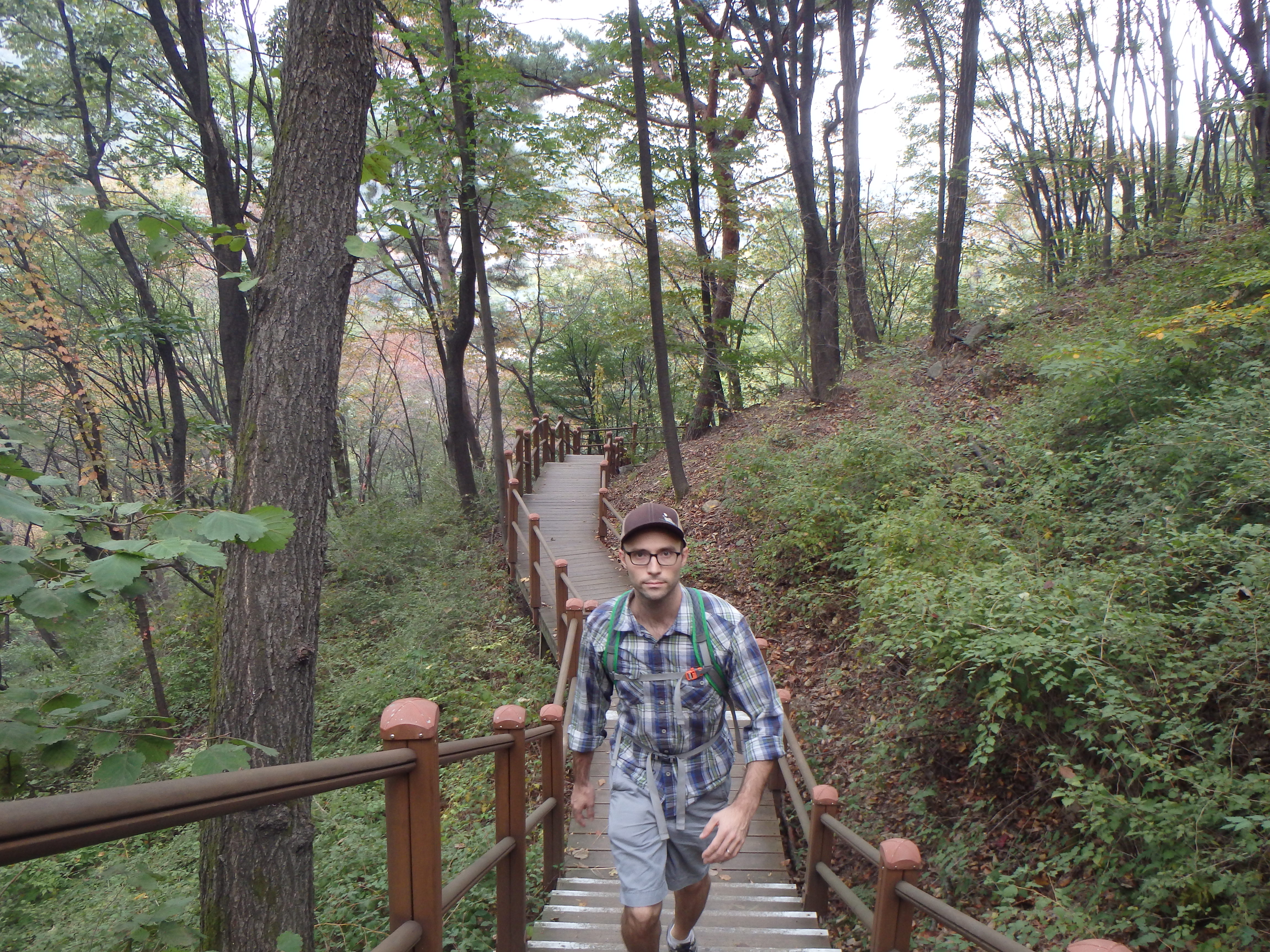
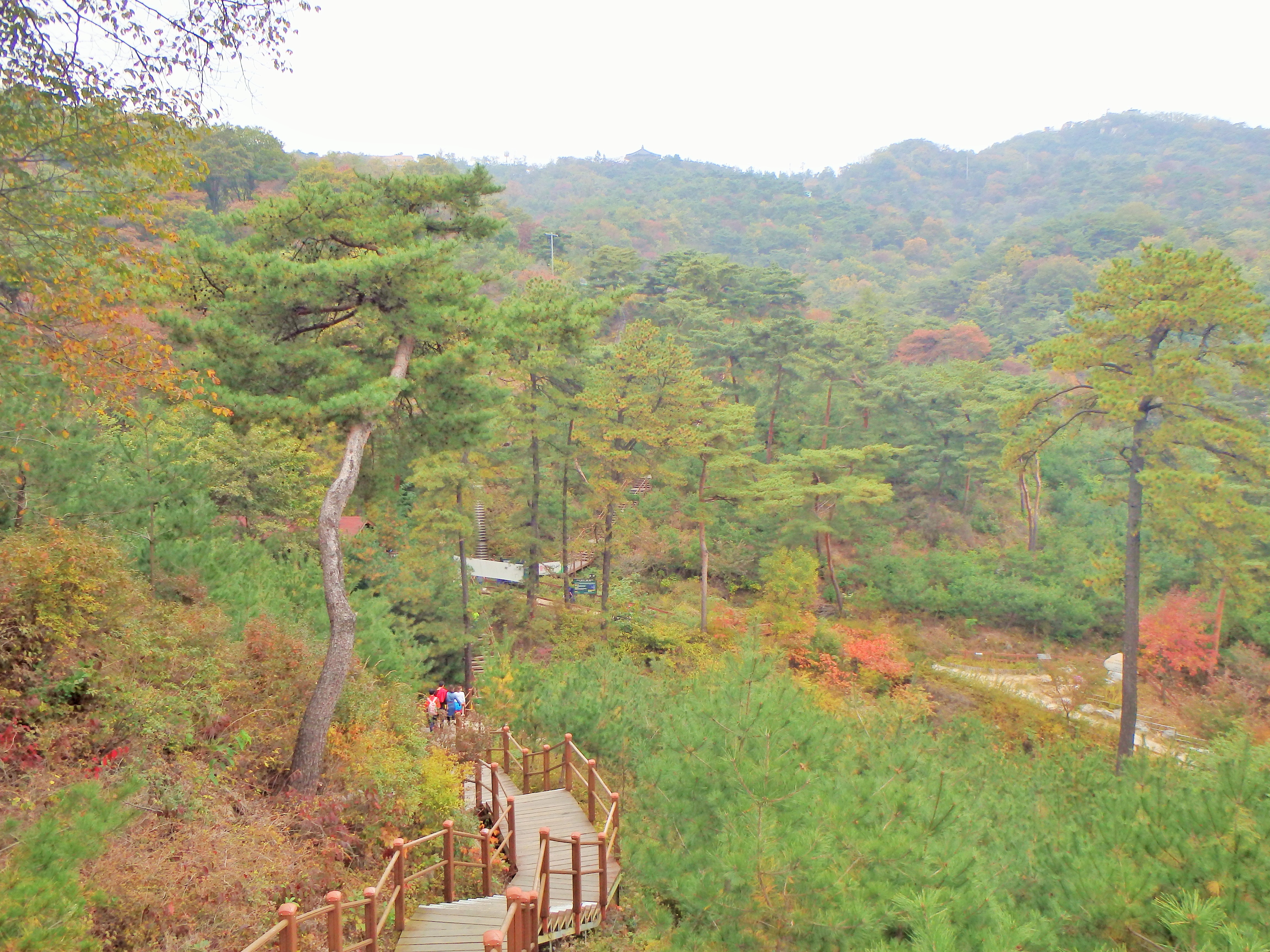
The trail itself was pretty disappointing for us. It was nothing like what we’re used to at home. It wasn’t really a trail at all. It was mostly a series of stairs! Ugh, switchbacks were invented for a reason! However, this trail is meant for tourists so hopefully other mountains in Korea won’t be similar. Thankfully, we did not begin our hike where we ended it because that would have been horrific! It was straight down the mountain with little relief. I guess to keep you next to the wall??
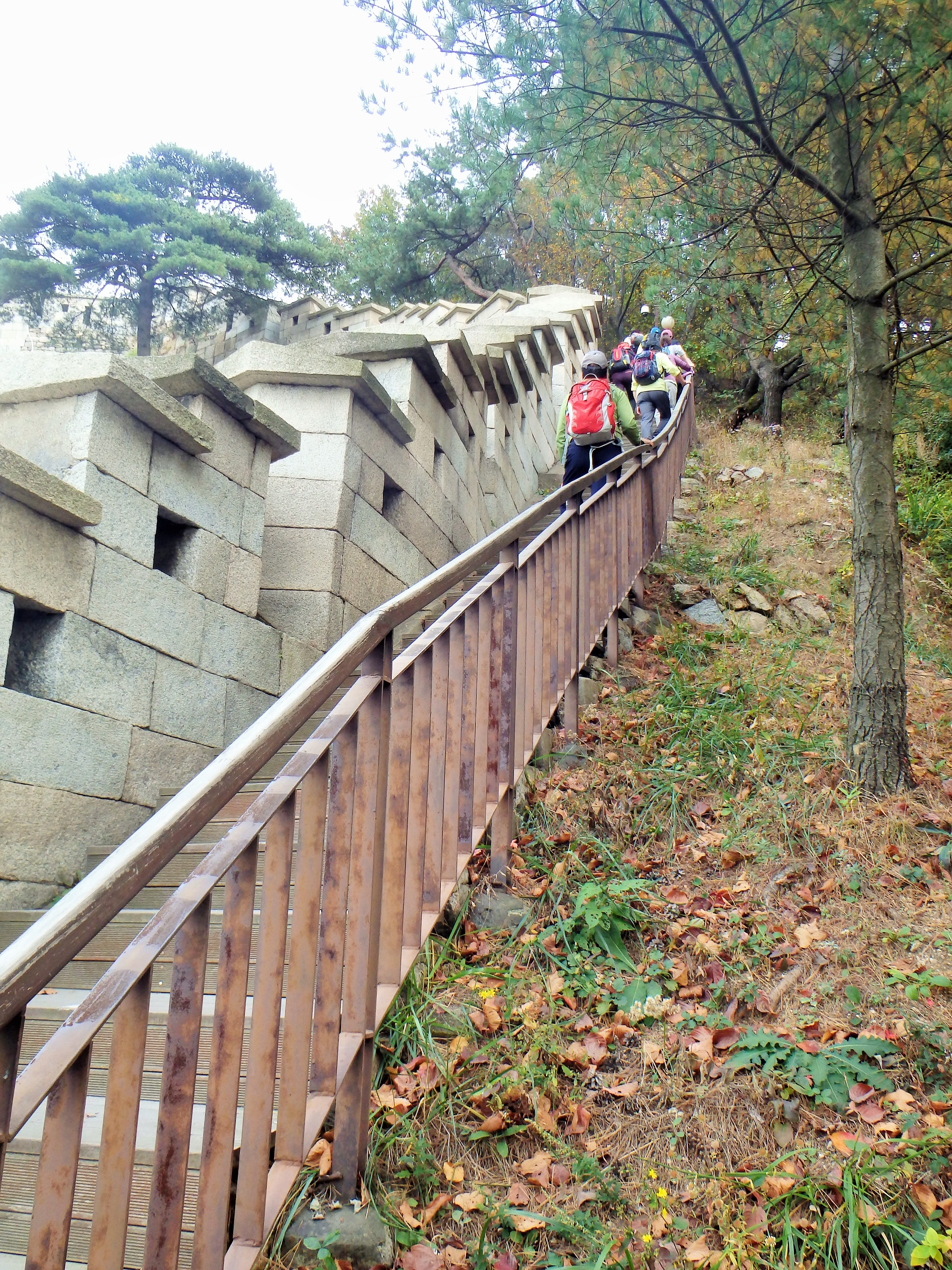
I am so glad we didn’t have to go up that way!!
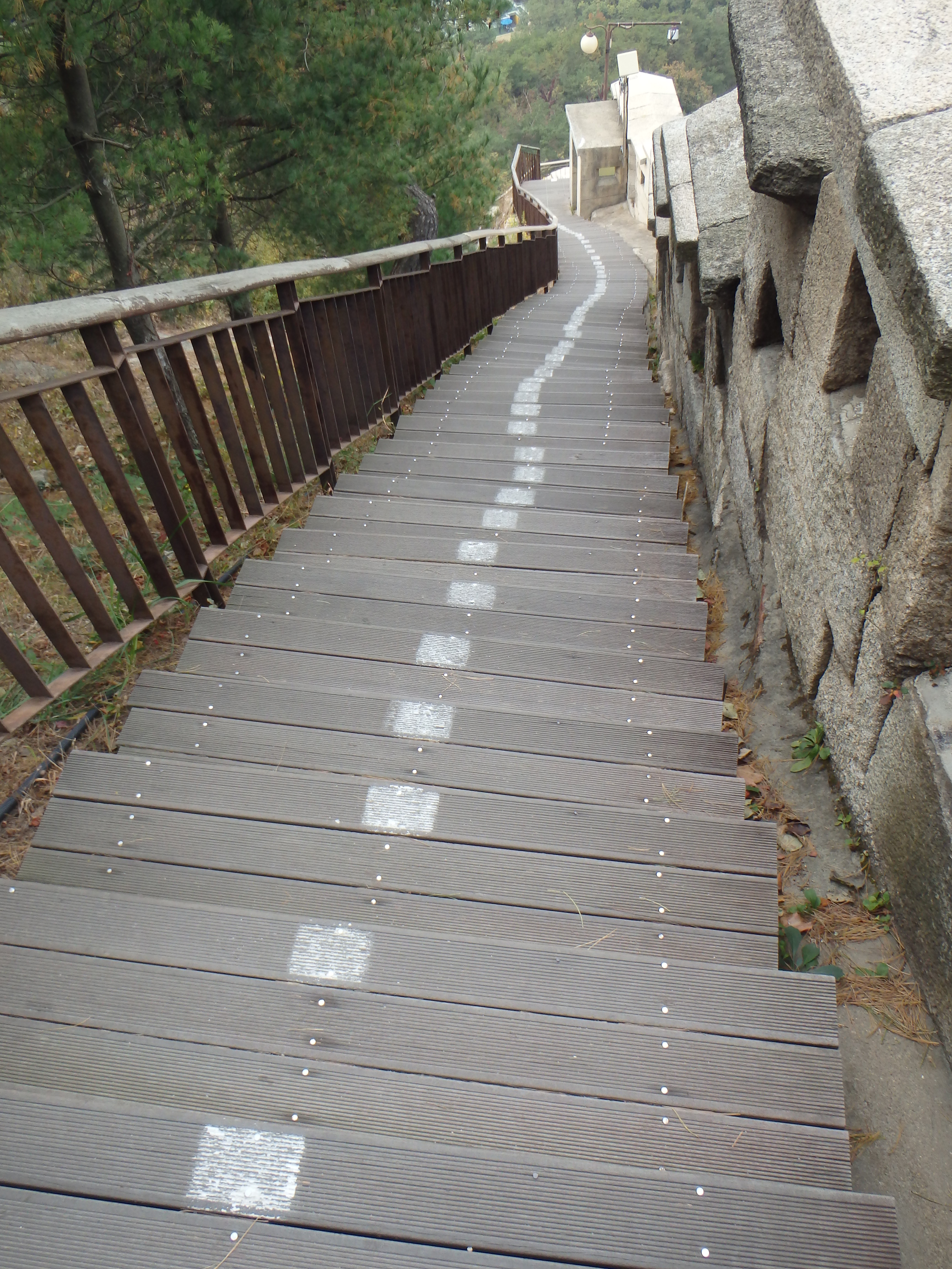
straight down
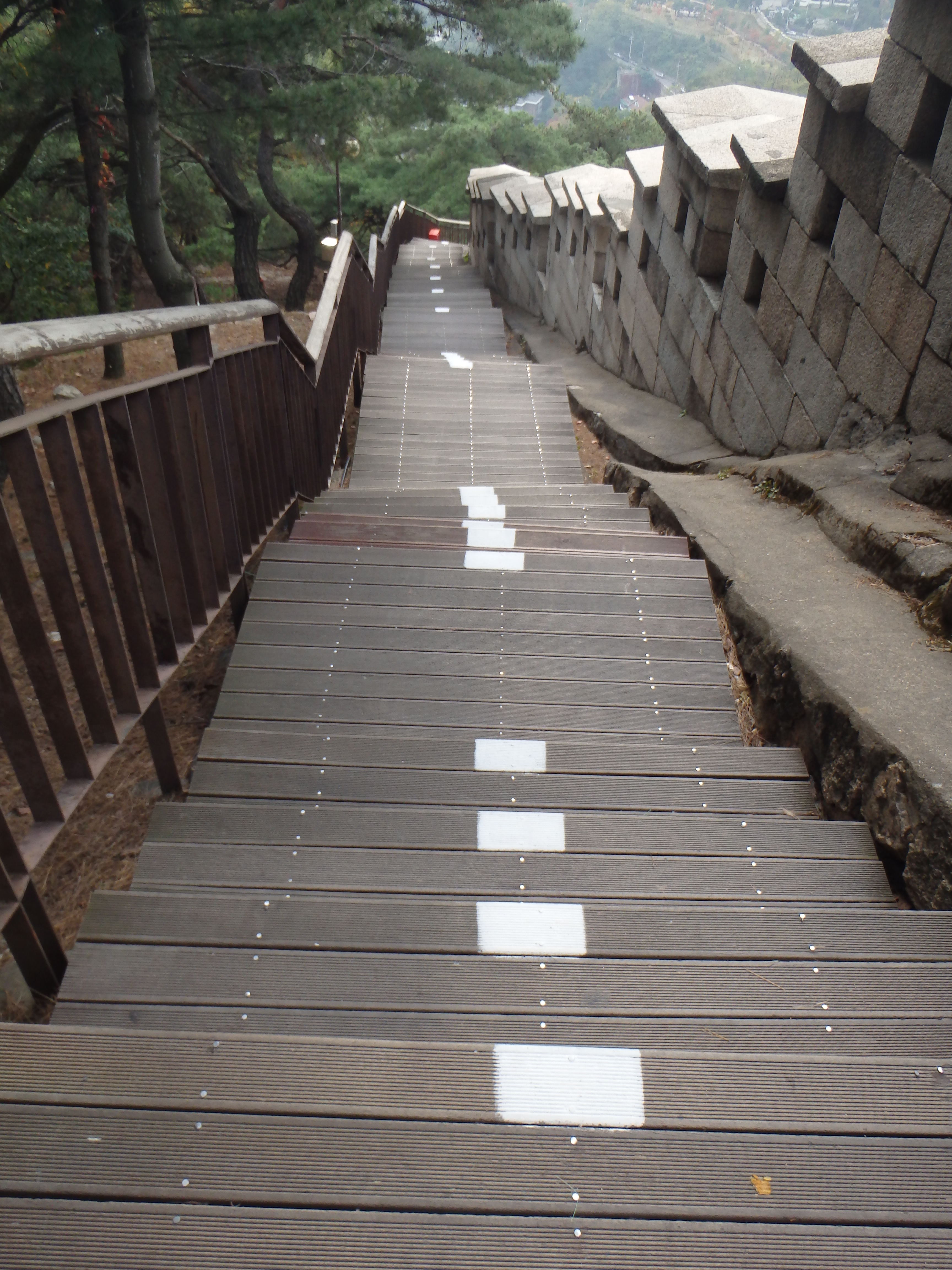
nightmare for the knees
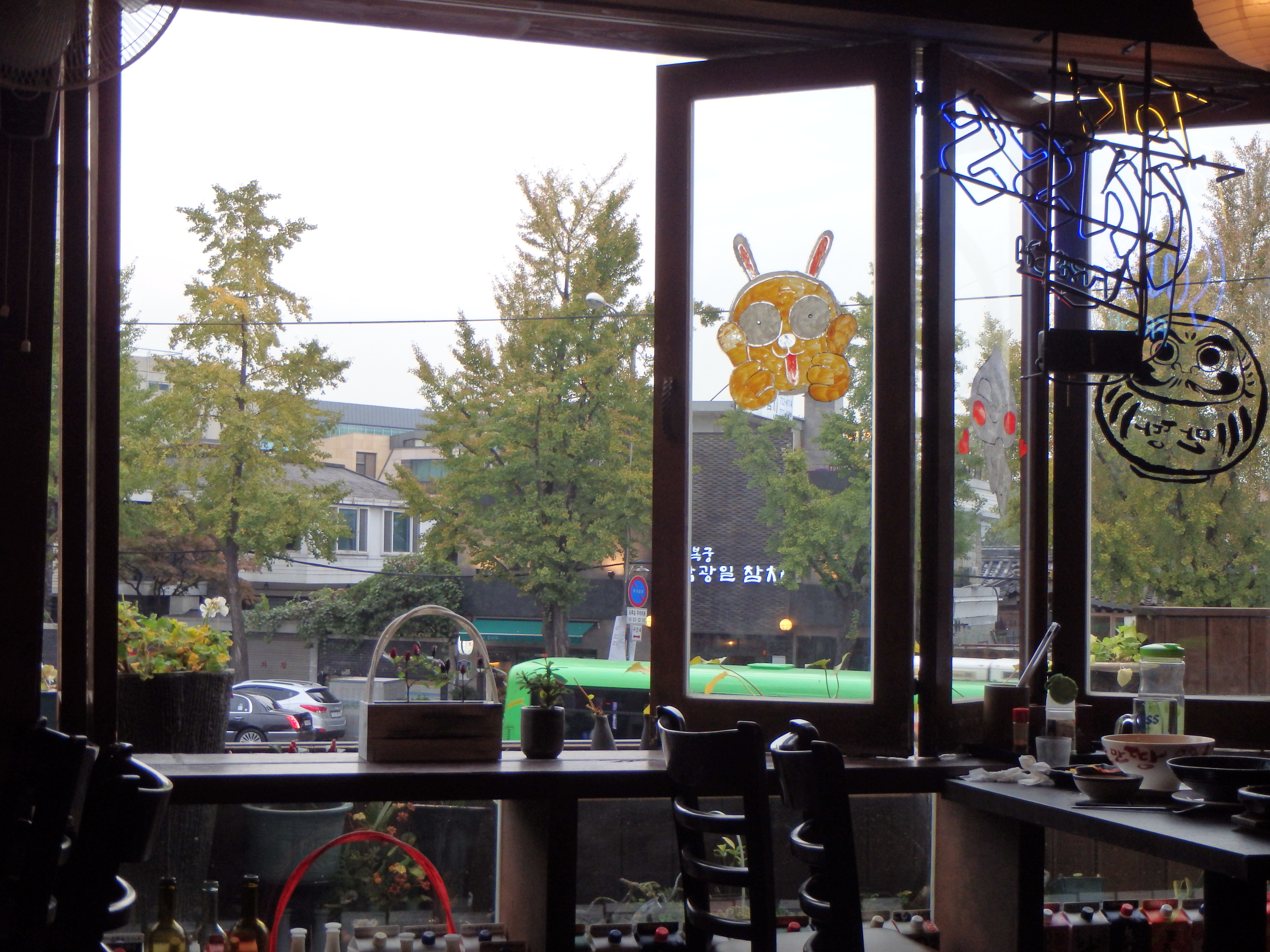
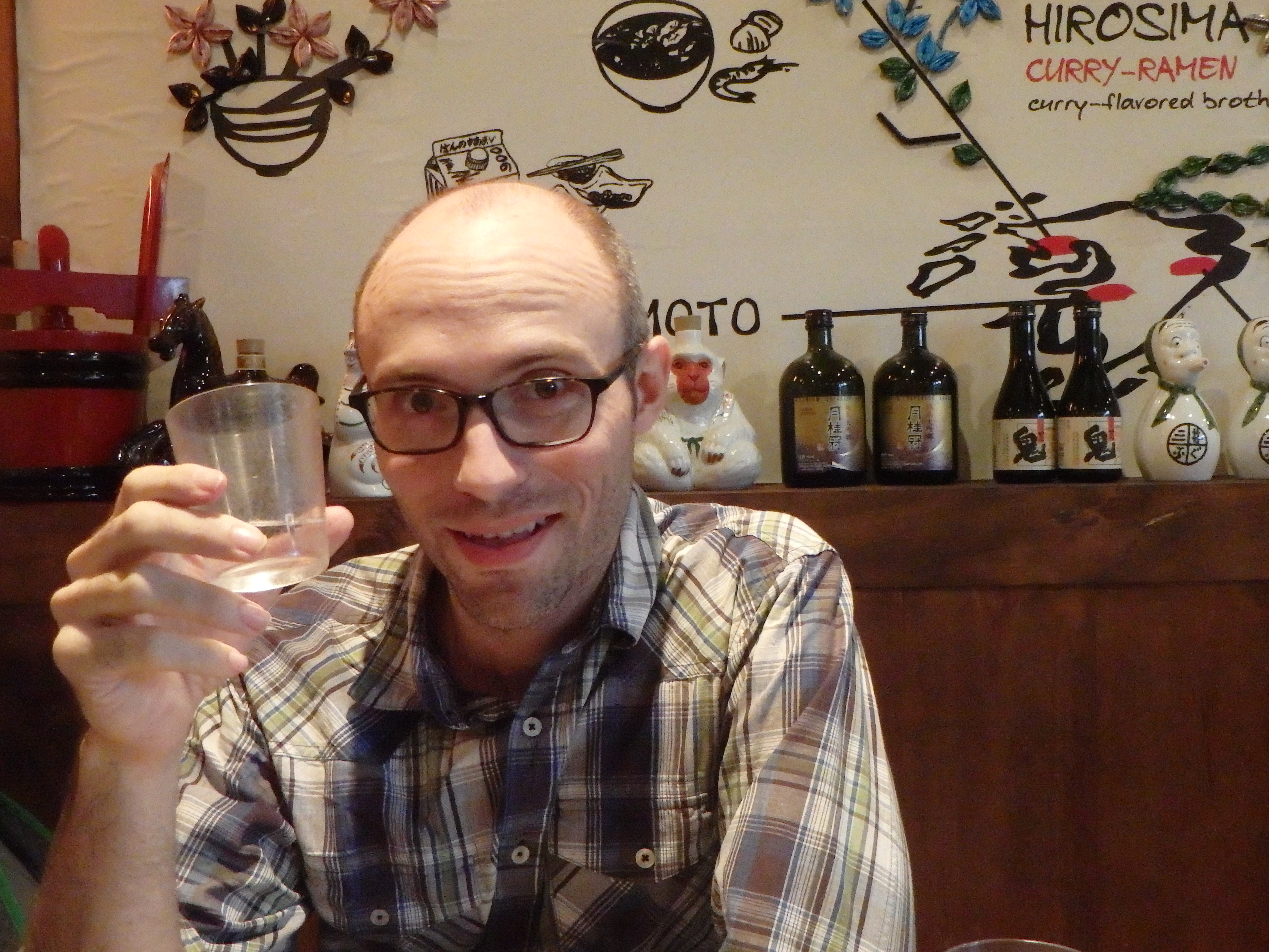
We ended our trek at Changuimun. It actually dates back to a 1740 reconstruction! Pretty impressive. (Although the gate did undergo extensive restoration in 1958.) From there we walked down to Gwanghwamun, stopping for a meal along the way at a Japanese place. A hot bowl of ramen was well deserved!
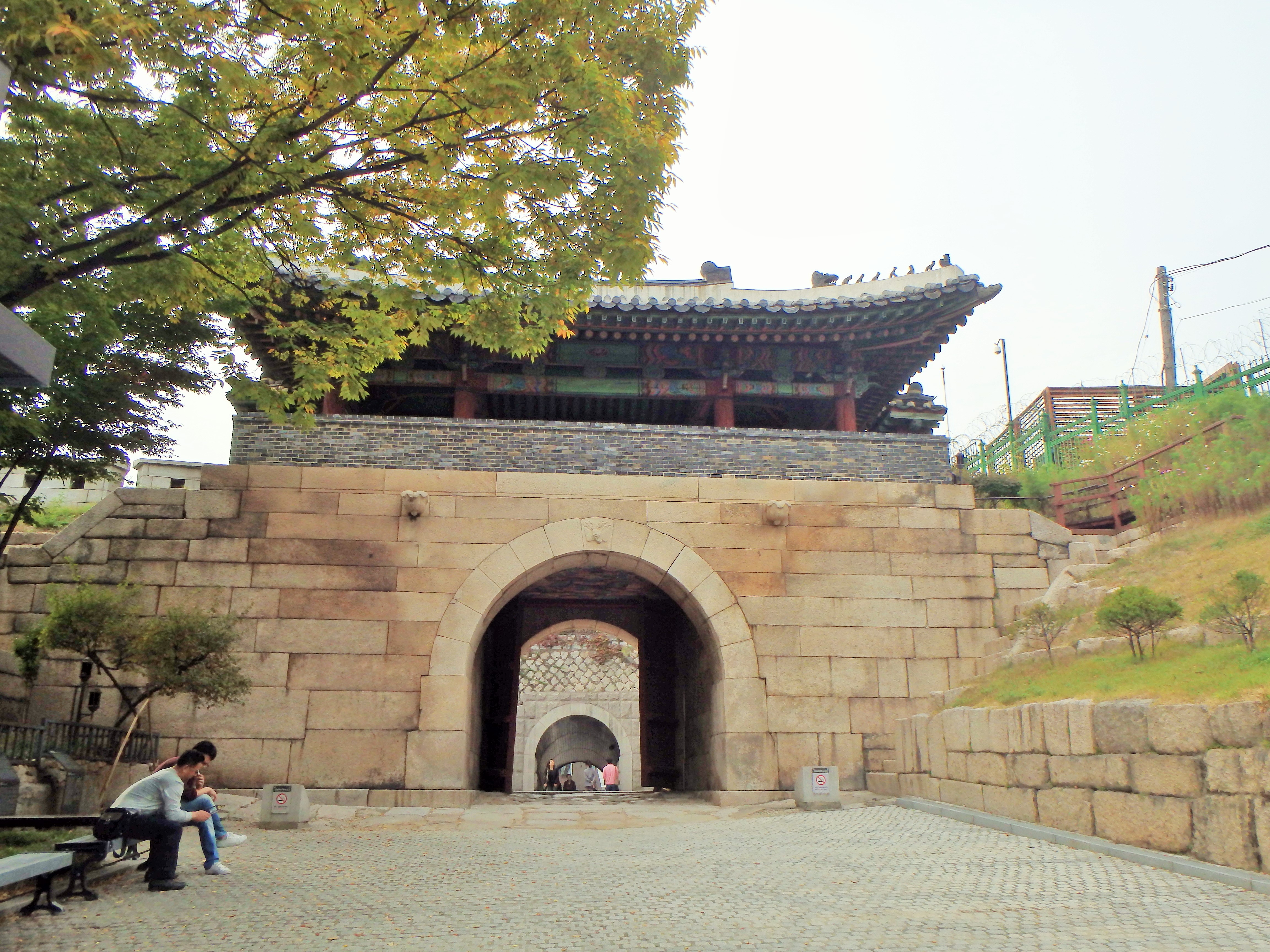
Changuimun
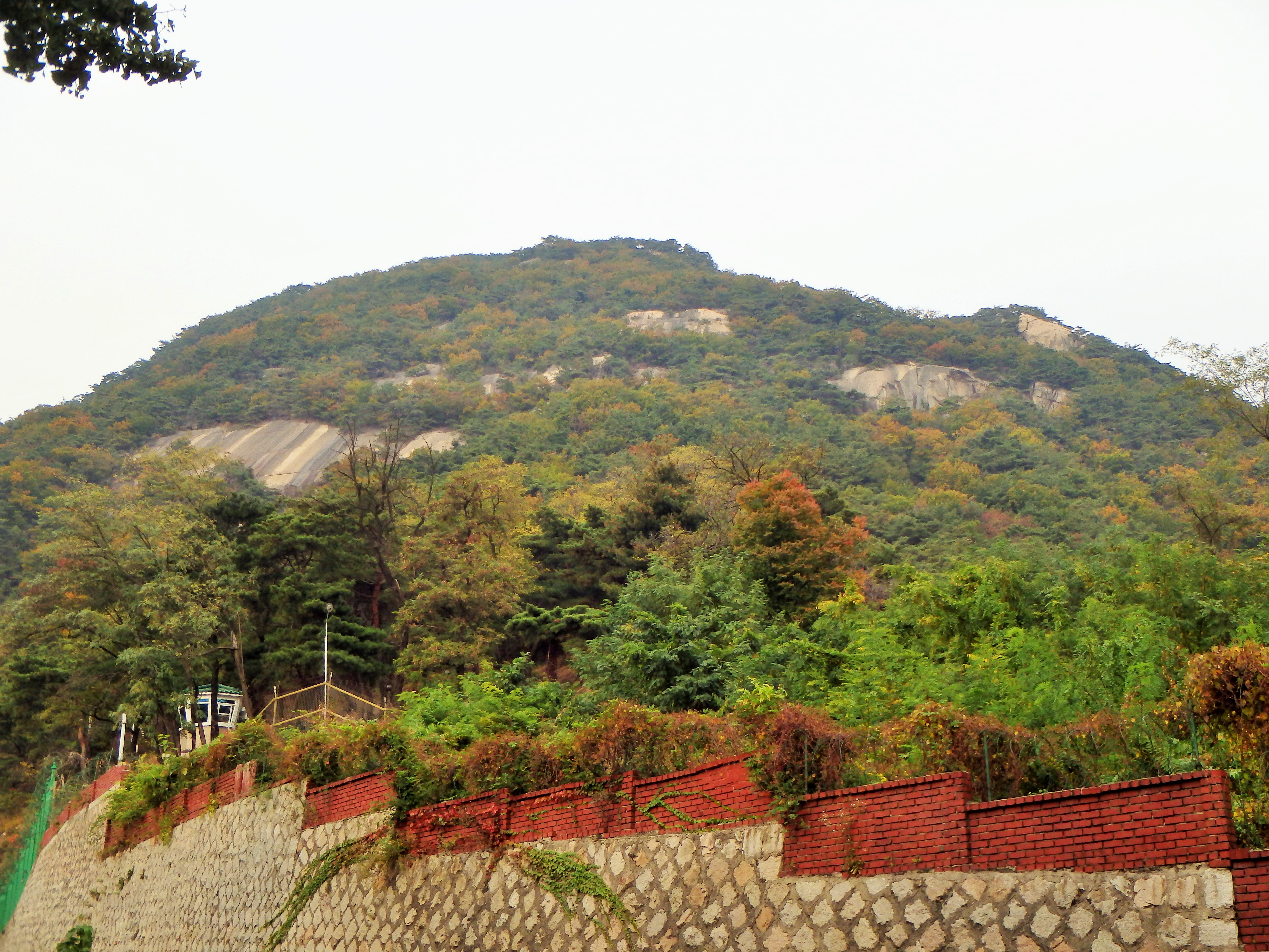
There she is, Bugaksan
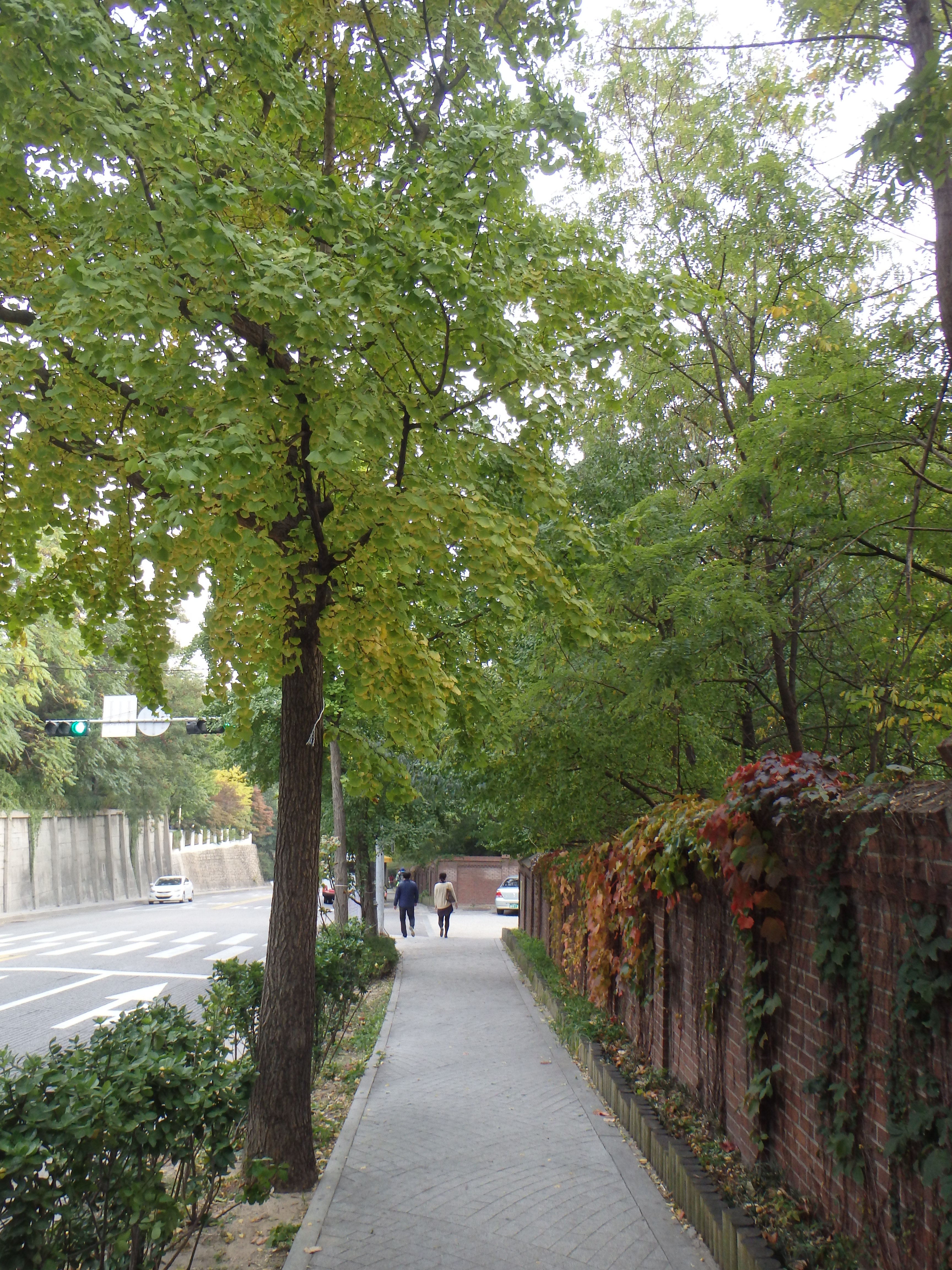
Beautiful walk
Sarah, this photo is for you!
Feeling refreshed!
Categories: Asia, South Korea
