Phew. Between coming back to the US, moving out to Marfa, and starting new jobs at the local high school, we’ve been pretty overloaded. I think things are finally getting into more of a groove, and hopefully I won’t be quite so lax about updating this thing in the future.
One of the reasons we were so happy to move out to West Texas was the opportunity to get outdoors and do more camping, hiking, and exploring. We are really excited about exploring this region extensively. Just north of town, we have the Davis Mountains, slightly further north is Guadalupe Mountains National Park, and southeast of town we have Big Bend Ranch State Park & National Park. Not to mention new terrain to explore in New Mexico.
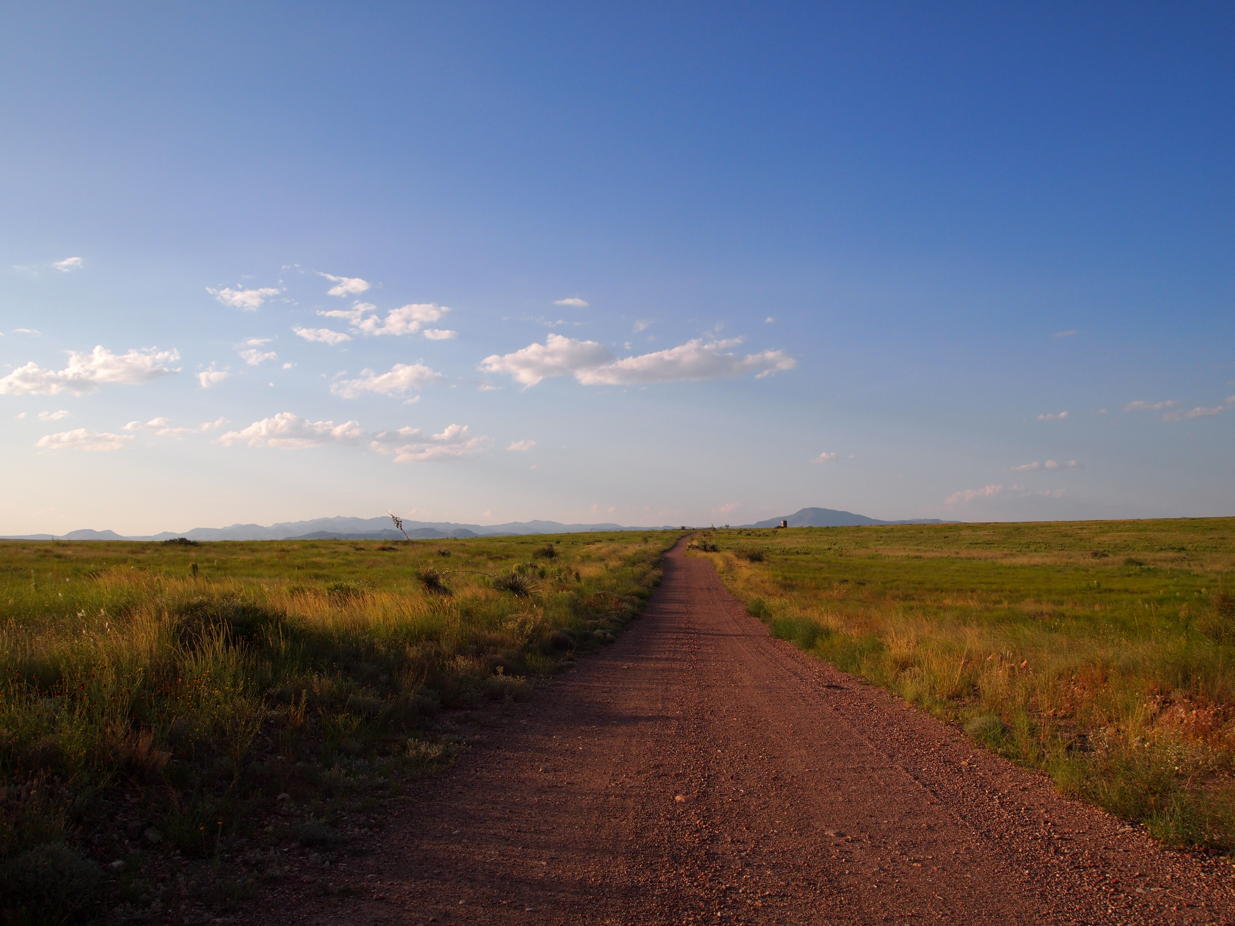
Davis Mtns. from Marfa
Our first full weekend out here, the Davis Mountains Preserve had an open weekend so we took full advantage of the opportunity. The Davis Mountains Preserve is 33,000 acres of land run by The Nature Conservancy. It’s closed most of the year to tourists with the exception of several “open weekends” or “open days.” Only one trail is available year-round, the Madera Canyon Trail.
We (Zach) decided that we should hike Mt. Livermore, the tallest peak in the Davis Mountains. So we set off for the mountains fairly early in the morning, stopping to buy sunscreen along the way. To hike Mt. Livermore it’s best to have a high-clearance vehicle. The road to the trail head has several low water crossings that the Corolla cannot clear. Luckily when we arrived at the visitor center to sign in, we met two other hikers planning to summit Mt. Livermore and 3 of us were able to hitch a ride to the trail head with the 4th hiker, Chris. Just as we arrived at the parking area to begin our trek, we heard a loud hissing sound and quickly realized that one of the tires was deflating. We spent the next 45 minutes trying to figure out how to change the tire – thankfully Chris had the manual. It was pretty complicated!

Now we all know how to change a tire on this type of vehicle
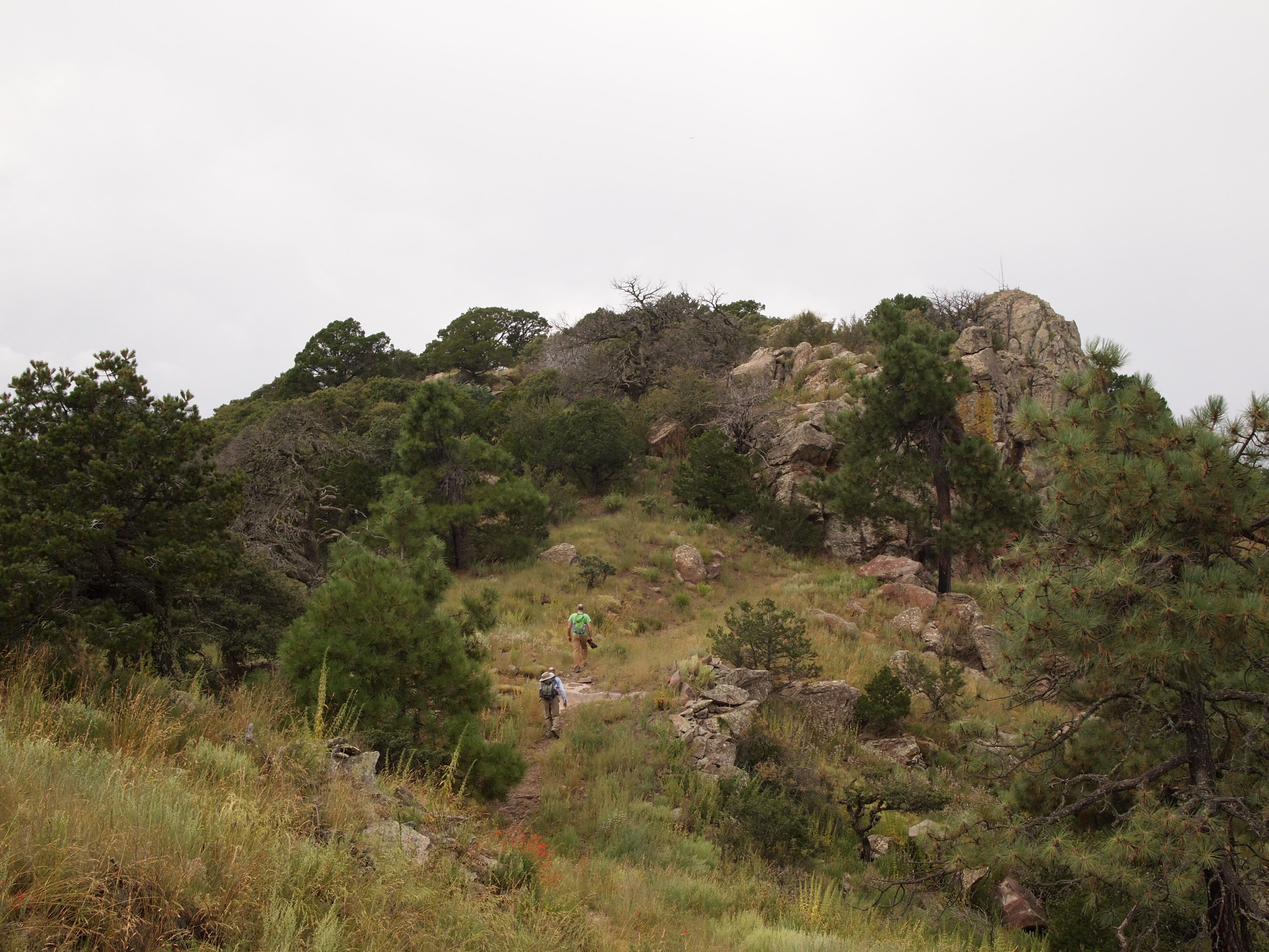
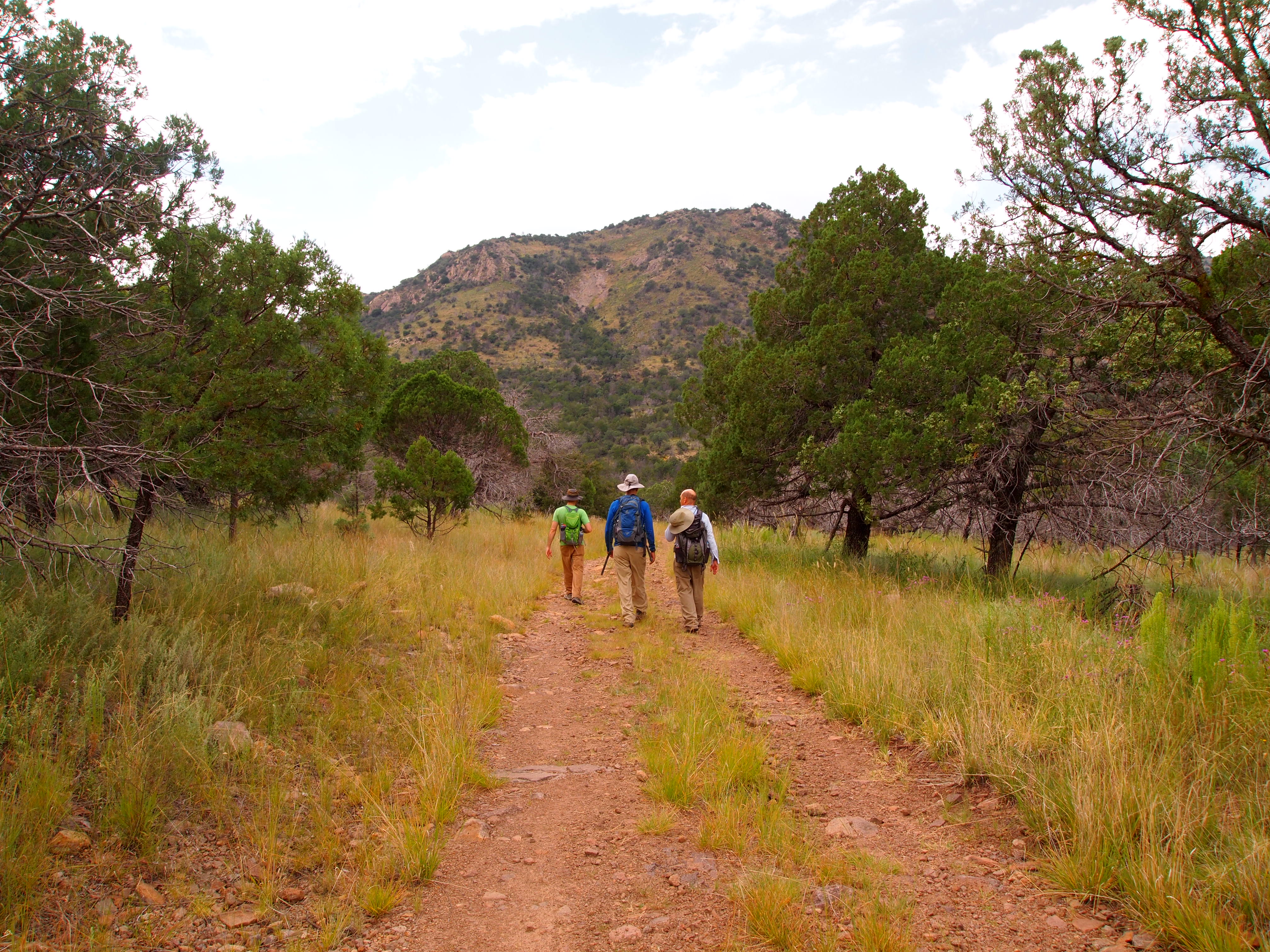
After successfully changing the tire we set off on our hike – a 6.2 mile round-trip journey that rose 1800 ft in elevation to the 5th tallest peak in Texas at 8,378 ft. (Zach and I have also hiked the tallest peak, Guadalupe Peak, in Guadalupe Mountains NP.) The first part of the trail was a rocky road that used to carry tourists up the mountain in jeeps.

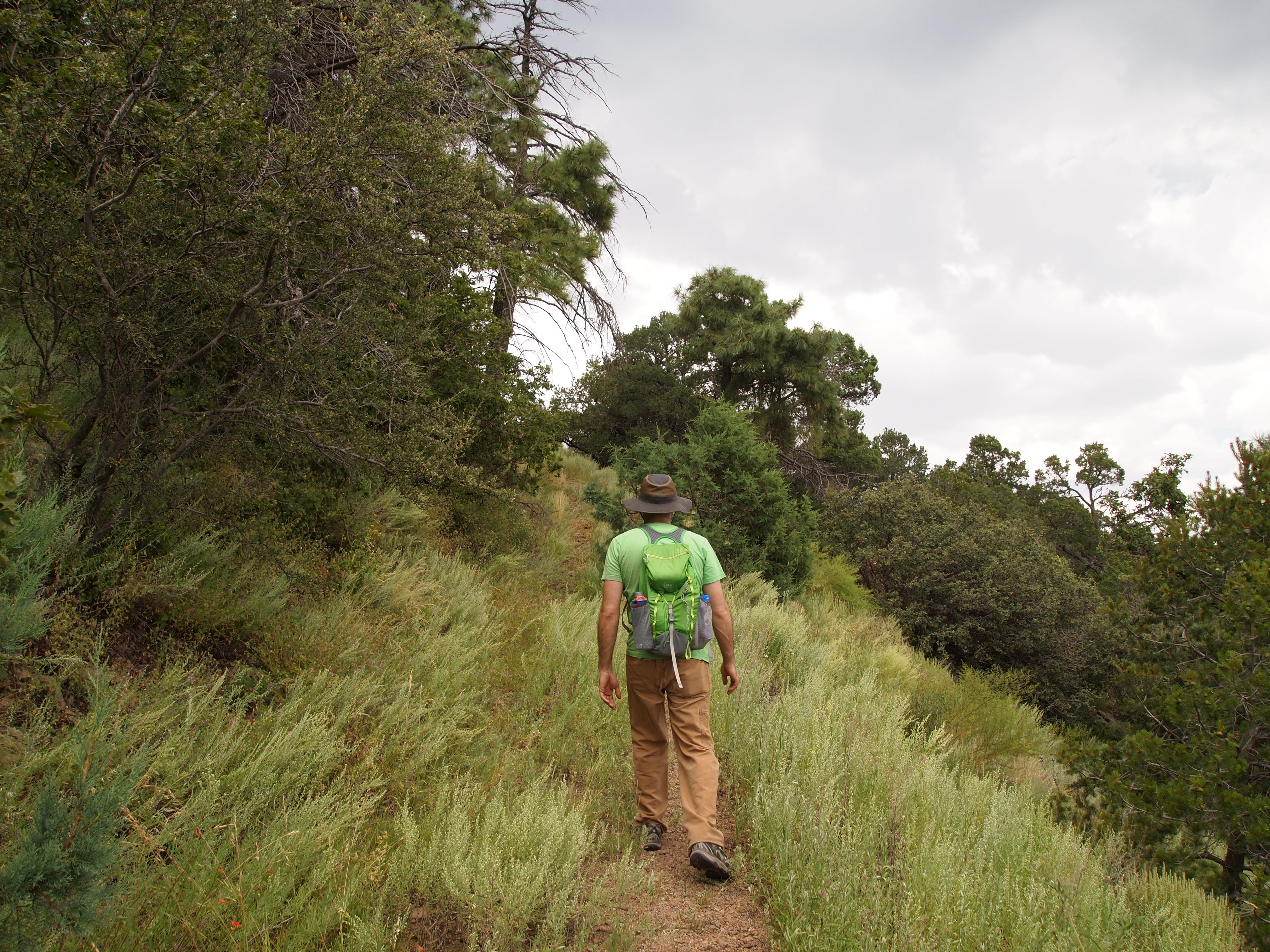
Starting our trek


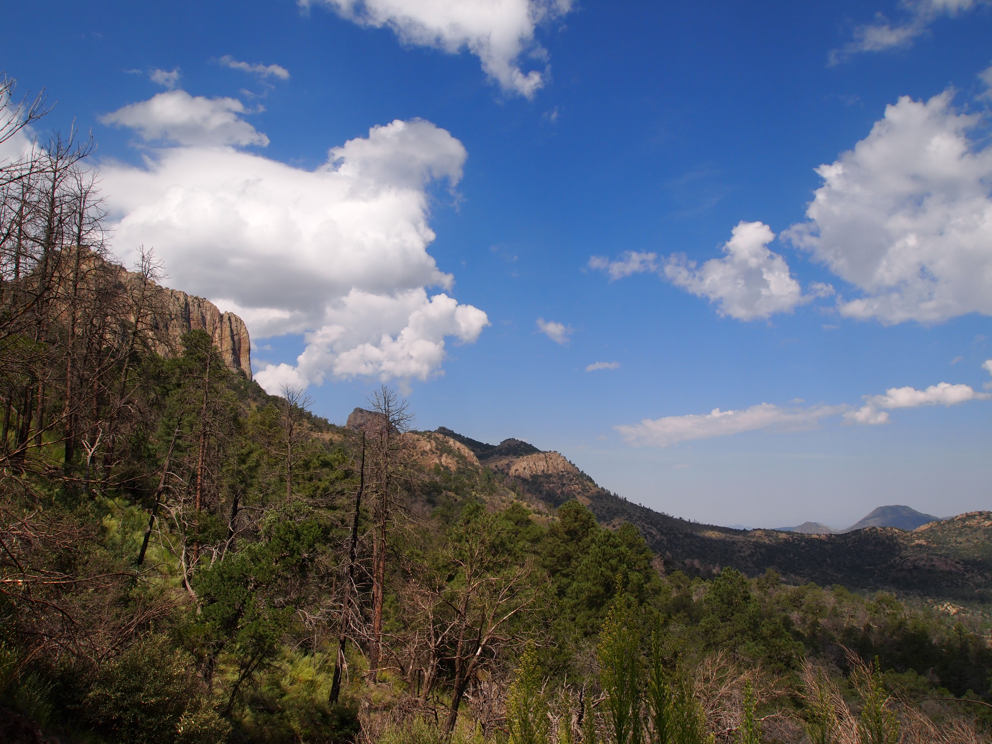
As we rose in elevation we began to notice the change in the environment. The Davis Mountains have a unique ecosystem referred to as a sky island because the mountain range is radically different from the surrounding lowlands. With the arid Chihuahuan Desert below, the Davis Mountains have a cooler, wetter climate which supports species that cannot live anywhere else in Texas. (There are two other sky islands in Texas: the Chisos Mountains and Guadalupe Mountains.)

Entering a more lush portion of the trail
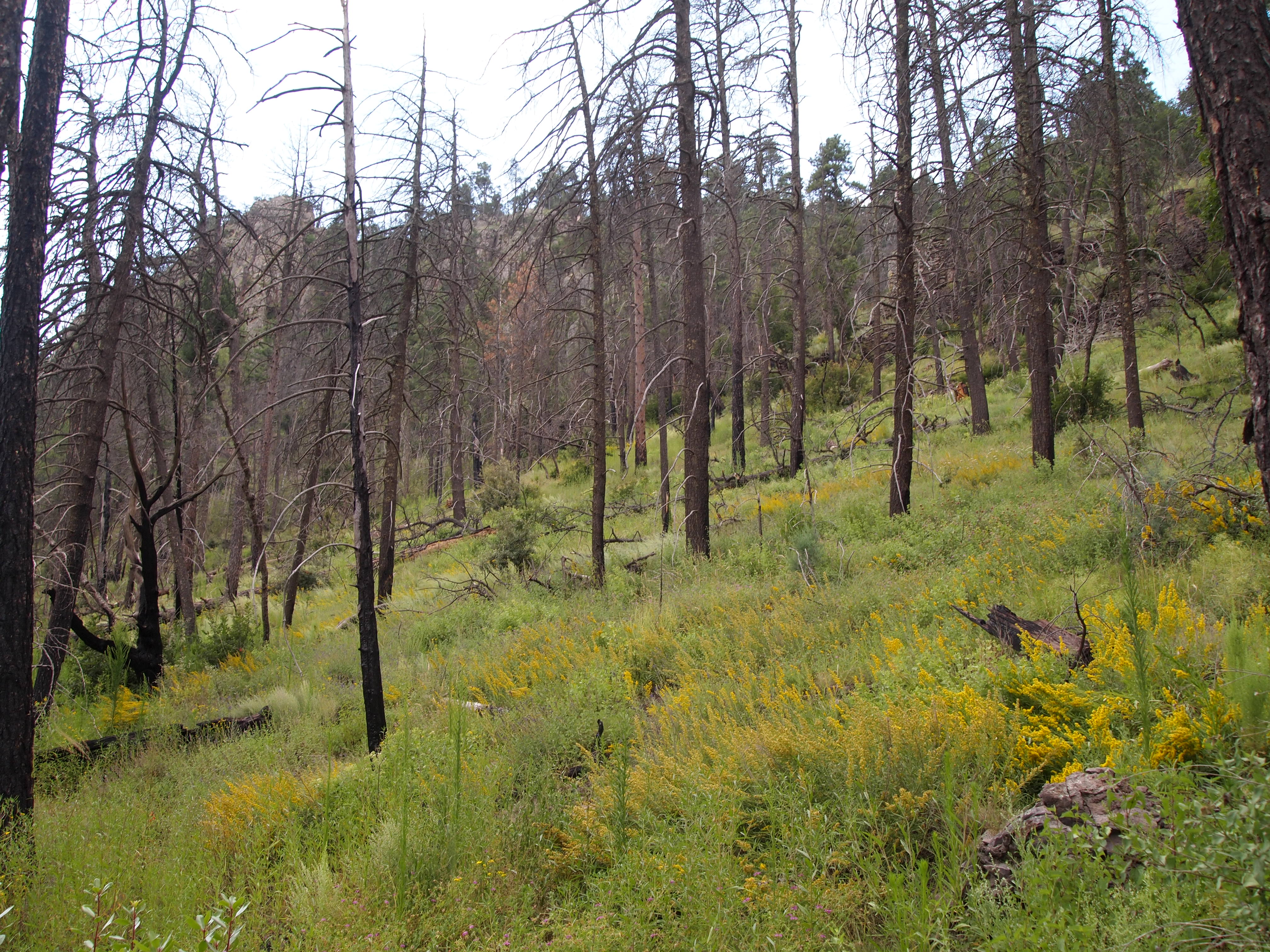
Past forest fires were still evident

Tall grasses lined the path as we climbed higher
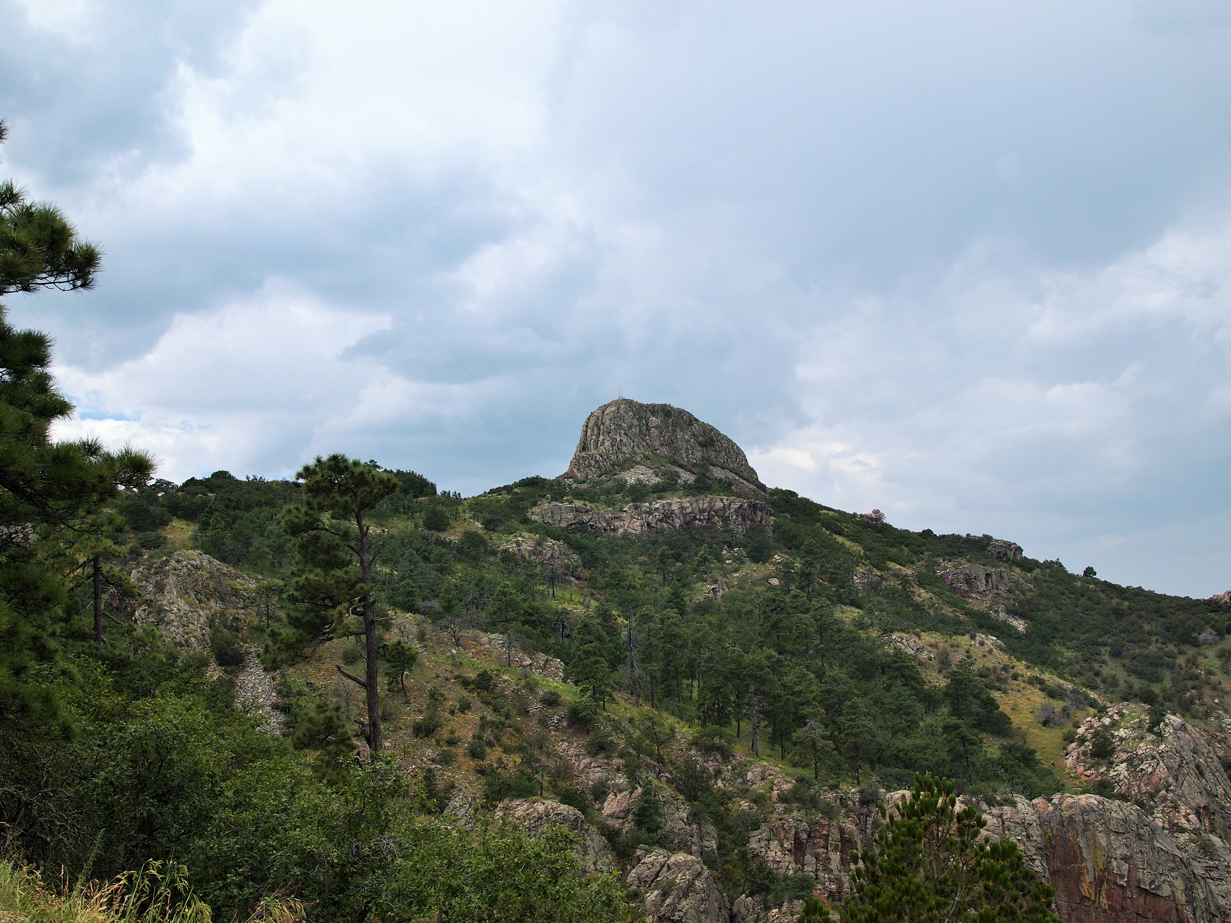
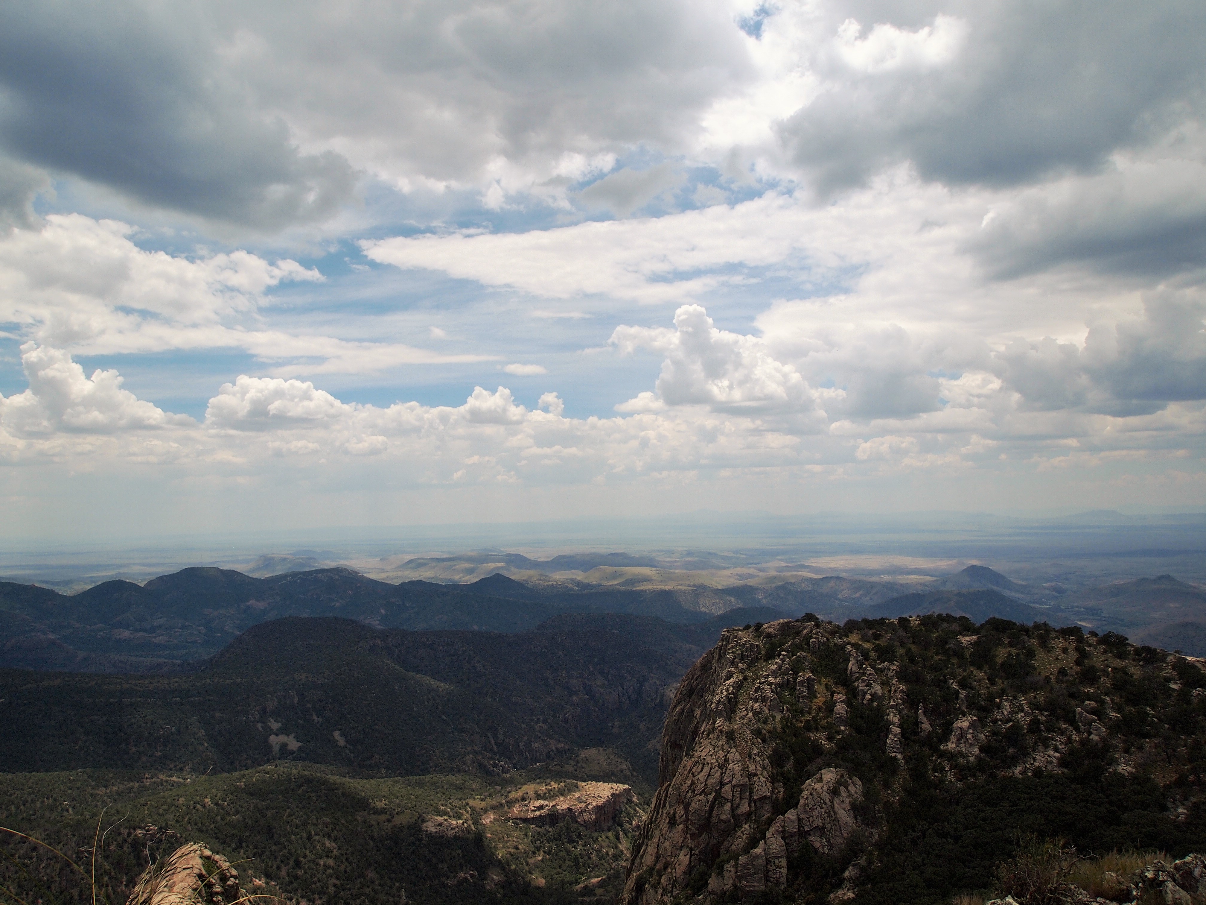
Our destination: Baldy Peak
We were more than ready to see the summit. Once we could view it, the last stretch of the hike was pretty brief. We made it to the base of Baldy Peak and realized we had to climb up the side – there was no trail. We had to pass through a steep pile of loose rocks, balancing on the sturdier ones. Zach was in the lead and I was second. I thought about what a perfect habitat the rocks would be for rattlesnakes when suddenly we heard the shake of a rattle. Zach and I saw the snake to our left and quickly abandoned the area. Fully aware of the dangers of being bitten so far from anything, we carefully traversed the rock pile again. We examined our hand and foot holds carefully as we ascended up the remainder of the peak. Unscathed, we arrived victorious at the top!
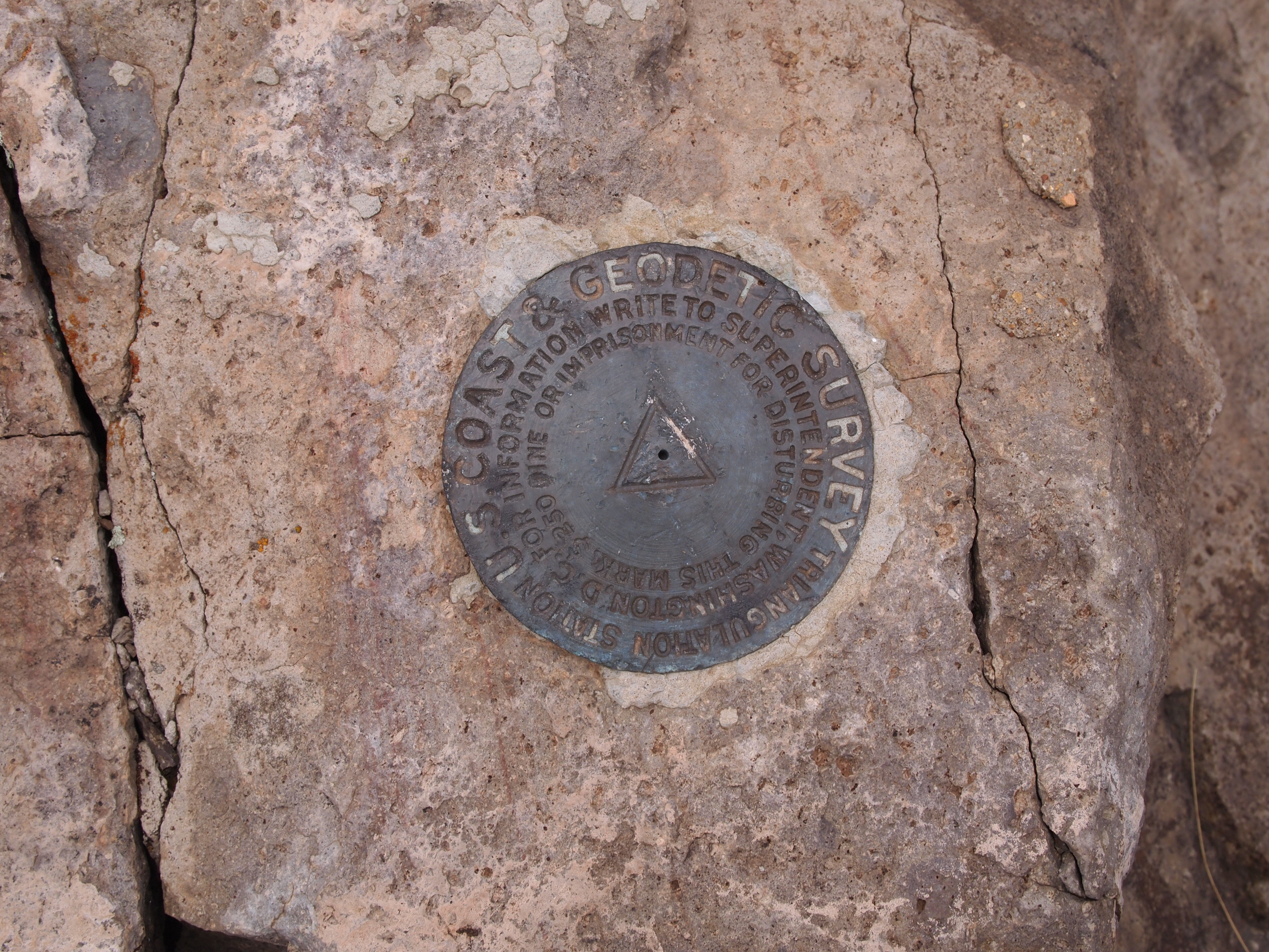
Baldy Peak

Gorgeous views
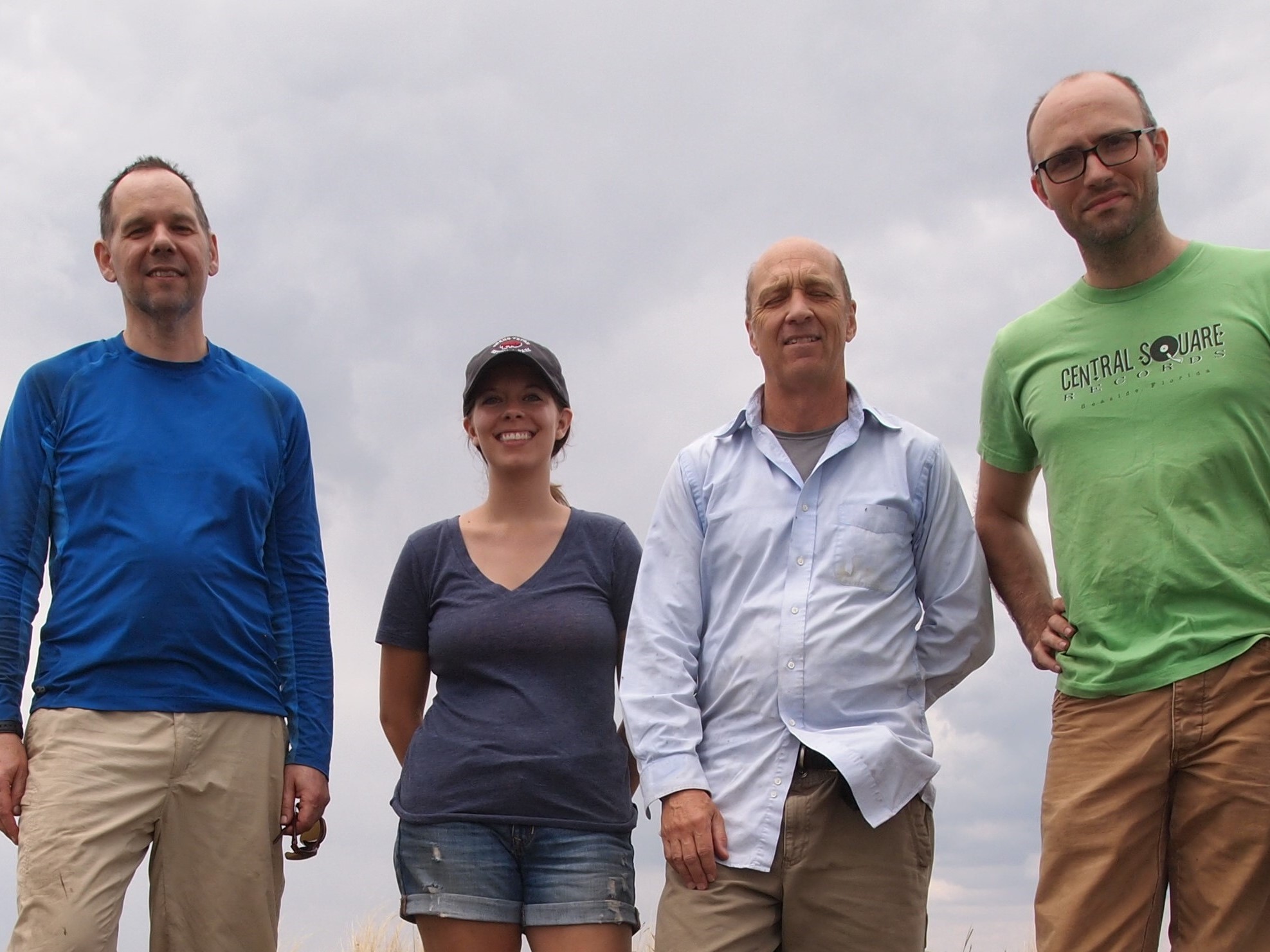
Zach and I with out hiking partners – Chris & Frank


We headed back down after resting up and eating some food. The hike down was lovely. It was a bit rough on the knees at parts, but quick compared to our ascent. We had great conversations with our hiking partners and hope to see them out this way again. Hiking Mt. Livermore was a great introduction to our new region. There are definitely more hikes in our future.
Categories: North America, Texas, USA

1 reply »